
The map above shows the initial 6 states created by the French Mandate for Syria and the Lebanon granted by the League of Nations in 1922.
Making Sense Of The World, One Map At A Time
The map above shows the initial 6 states created by the French Mandate for Syria and the Lebanon granted by the League of Nations in 1922.

The Central Treaty Organization (CENTO), also known as the Baghdad Pact or the Middle East Treaty Organization (METO), was one of Cold War’s weirdest and ultimately least successful alliances. This was largely the result of the improbable quintet of nations making up the Organization: Iran, Iraq, Pakistan, Turkey, and the United Kingdom.
Yet an alliance made up of these unlikely allies is not the only interesting thing to note about CENTO.

There lots of really cool things to point out about the map itself. For example:
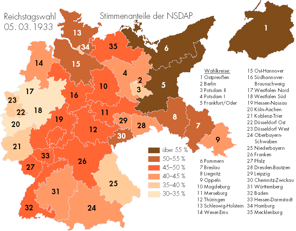
One important fact to remember about that the Nazis is that they were originally democratically elected into office. The map above shows where National Socialist German Workers Party (Nazi) support was the highest in the election of March 3rd, 1933.
It would turn out to be the last somewhat “free,” multi-party German election held across all of Germany until December 2nd, 1990, after German reunification.
However, it’s also important to note that while the Nazis won the most seats in 1933, they did not win a majority of them or the popular vote. Here is another map showing this in another way:

The map above is interesting not because it looks beautiful, which it does, but because of where and when it was published.

This would make the average Roman in 14AD poorer than the average citizen of every single one of the world’s countries in 2015.
Wondering how that’s possible? Then keep reading to find out.

The map above shows how the African continent was divided in 1914 just before the outbreak of World War I. By this time, European powers controlled 90% of the continent with only Abyssinia (Ethiopia) and Liberia retaining independence.

The Mongol Empire was the largest contiguous land based empire in history. So what would a modern Mongol state look like today if it hadn’t disappeared?

While we tend to think of the Vikings as being based in and around Scandinavia, their activities took them a lot far further afield than that. The map above shows just how far.
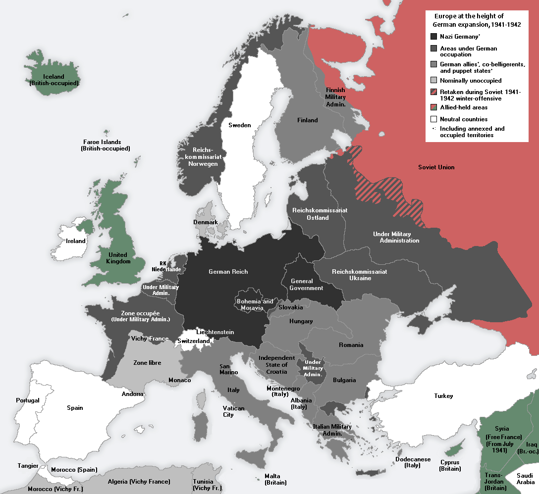
This has led both novelists and historians to speculate about might have happened if Germany had won the war and how they might have done so. Below we’ll look at a few fictional scenarios (with maps) where they do win and what that means for the rest of the world. This will be followed by some historical speculation about whether or not Germany really could have won.