On May 12th, 2026 X user Ramin Nasibov tweeted the following fairly innocuous question: “What historical fact sounds fake but is true?”
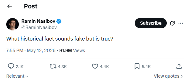
Turns out he really hit nerve, because 1 week later over 91 million people had seen his tweet had over 2,000 replies. Here are a few of the related to Poltics:


