
The map of Louisiana above and the maps below are part of the US government’s now closed NationalAtlas.gov project.
However, they are too good to be lost forever so I’ve preserved them here.
You can learn more about the project and why it was closed down here.
Satellite Map Of Louisiana

General Louisiana State Facts
Demonym: Louisianian
State Abbreviation: LA
Year Admitted To US: 1812
State Number (Out of 50): 18th
State Capital: Baton Rouge
Total Area: 52,378 sq mi (135,659 km2)
State Area Ranking (Out of 50): 31st
Highest Point: Driskill Mountain – 535 ft (163 m)
Lowest Point: −8 ft (−2.4 m)
State Website: https://louisiana.gov/
List of Interstate Highways In Louisiana
- I-10
- I-12
- I-20
- I-49
- I-55
- I-59
- I-69
- I-110
- I-210
- I-310
- I-410
- I-510
- I-610
- I-910
- I-220
List of US Highways In Louisiana
- US 11
- US 165
- US 167
- US 171
- US 190
- US 371
- US 51
- US 61
- US 63
- US 65
- US 71
List of Toll Roads In Louisiana
- LA 1 (Gateway to the Gulf Expressway)
Did you known LA 1 is the longest road in Louisiana at 431.587 mi (694.572 km).
Louisiana County Map

Louisiana County Map With Important Cities & Towns

You can see more Louisiana county maps here.
Louisiana Population Density Map

Louisiana Population Facts
State Population: 4,573,749
State Population Rank (out of 50): 25th
Population Density: 106/sq mi (41/km2)
Population Density Rank (out of 50): 26th
Top 10 Cities In Louisiana
- New Orleans: 364,136
- Baton Rouge: 219,573
- Shreveport: 177,959
- Lafayette: 121,467
- Lake Charles: 79,633
- Kenner: 63,333
- Bossier City: 62,738
- Monroe: 46,616
- Alexandria: 43,466
- Houma: 31,733
Louisiana Income & Taxes
Median Household Income: 58,330
Household Income Rank (out of 50): 45th
Top Marginal State Income Tax Rate: 4.25%
Average Sales Tax Rate*: 9.56%
Average Property Tax Rate*: 0.56%
* Note theses vary from city to city within the state.
Map of Louisiana Lakes & Rivers

Largest Lake In Louisiana: Lake Pontchartrain 631 (sq mi)
Longest River In Louisiana: Mississippi River 2,320 miles (3,730 km)
Louisiana Annual Precipitation Map

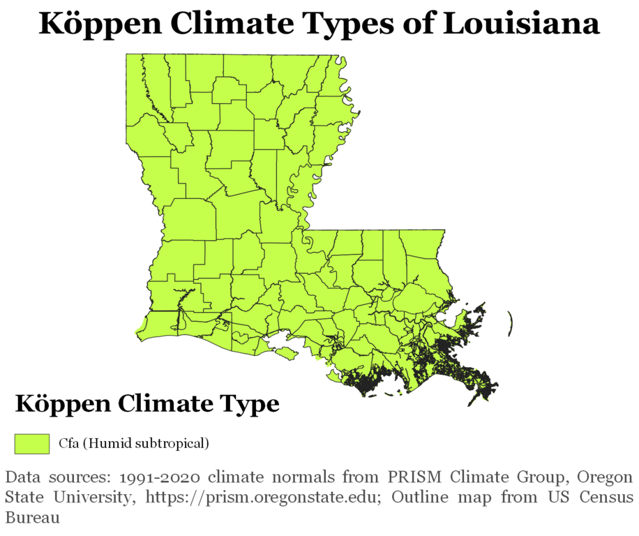
Louisiana Köppen Climate Map
More Maps Of US States The Government Doesn’t Want You To See
Finally see our Free Moving To Louisiana (LA) Cost Calculator.