
However, they are too good to be lost forever so I’ve preserved them here.
You can learn more about the project and why it was closed down here.
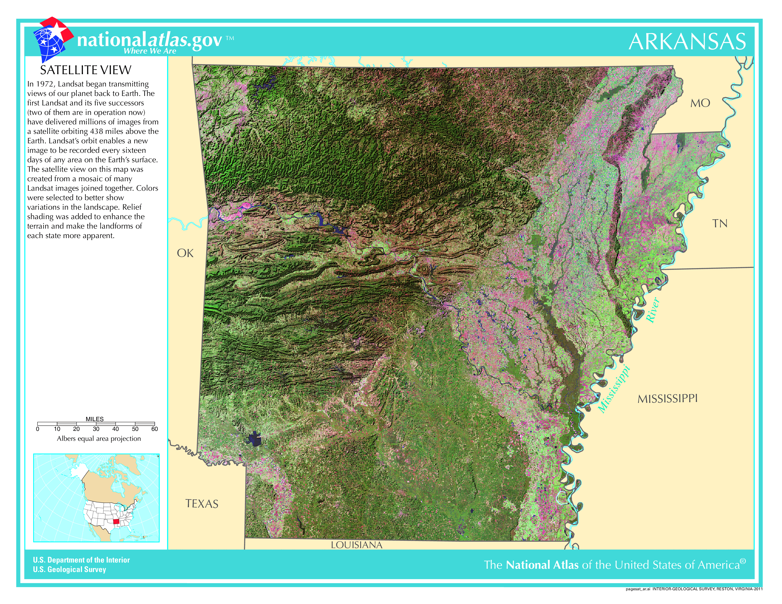
Satellite Map Of Arkansas
General Arkansas State Facts
Demonym: Arkansan
State Abbreviation: AR
Year Admitted To US: 1836
State Number (Out of 50): 25th
State Capital: Little Rock
Total Area: 53,179 sq mi (137,732 km2)
State Area Ranking (Out of 50): 29th
Highest Point: Mount Magazine – 2,753 ft (839 m)
Lowest Point: 55 ft (17 m)
State Website: https://www.arkansas.gov/
List of Interstate Highways In Arkansas
- I-30
- I-40
- I-49
- I-55
- I-57
- I-69
- I-130
- I-430
- I-530
- I-630
- I-440
- I-540
- I-555
List of US Highways In Arkansas
- US 165
- US 167
- US 270
- US 271
- US 278
- US 371
- US 425
- US 49
- US 78
List of Toll Roads In Arkansas
No
Did you known Highway 7 is the longest road in Arkansas at 296.01 mi (476.38 km).
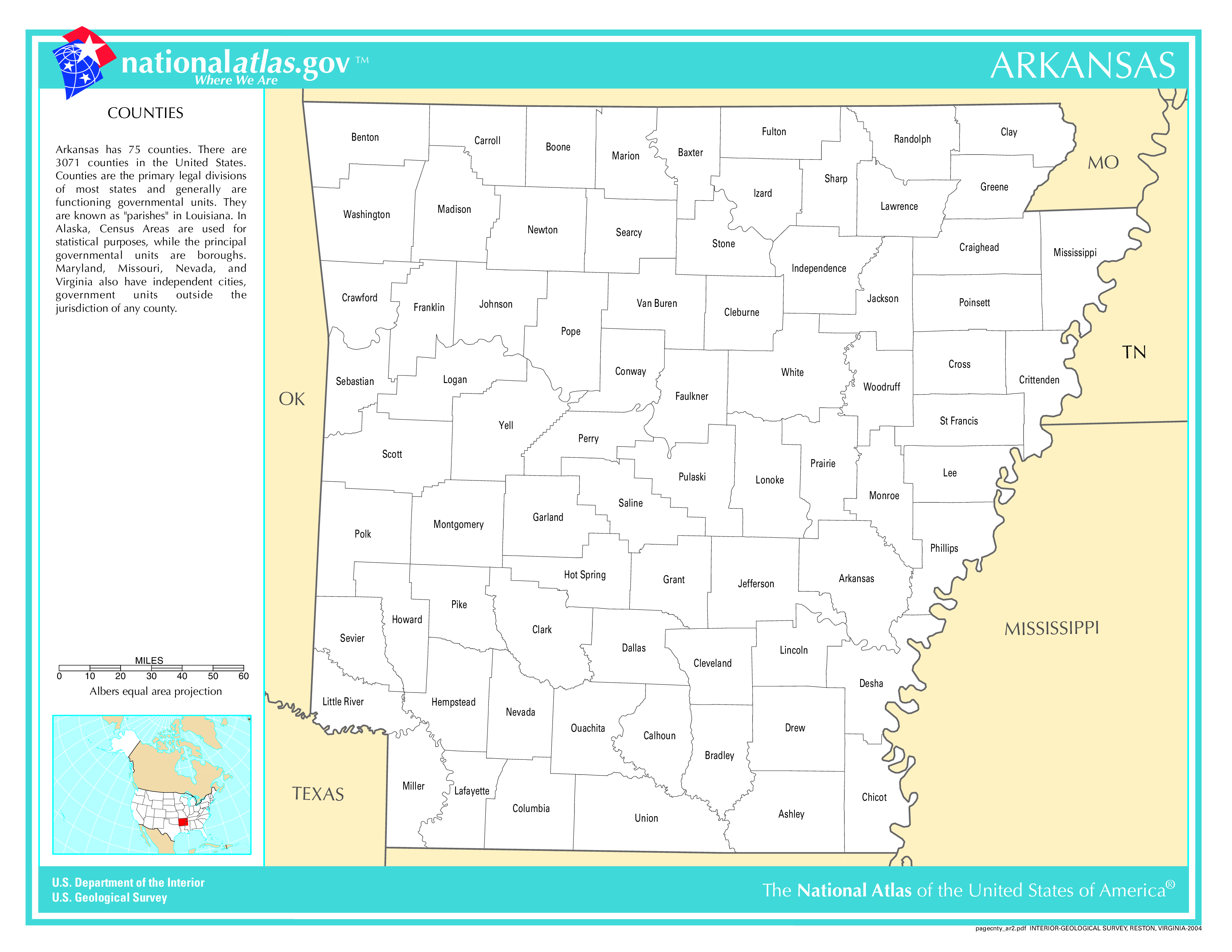
Arkansas County Map
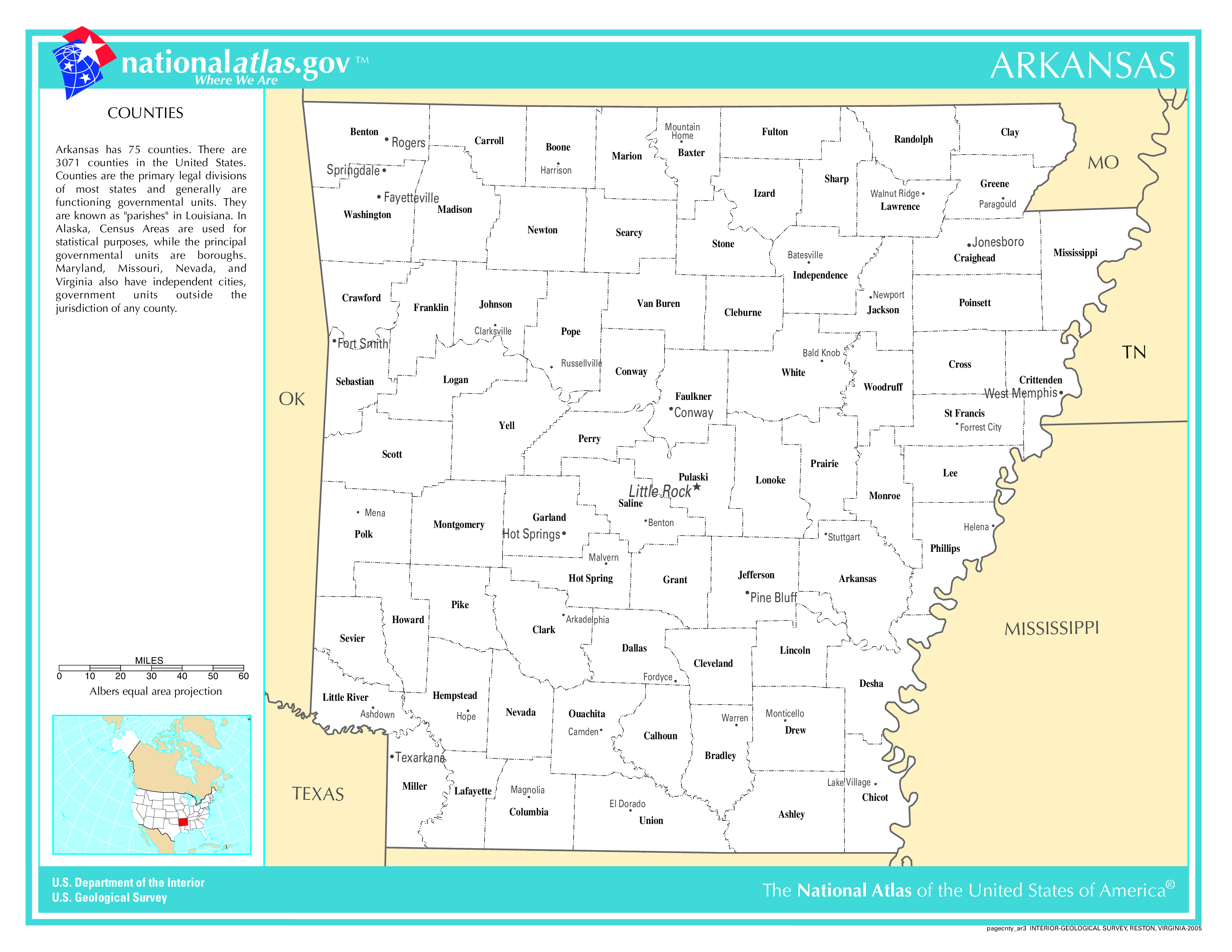
Arkansas County Map With Important Cities & Towns
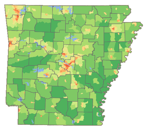
Arkansas Population Density Map
Arkansas Population Facts
State Population: 3,067,732
State Population Rank (out of 50): 33rd
Population Density: 59/sq mi (23/km2)
Population Density Rank (out of 50): 35th
Top 10 Cities In Arkansas
- Little Rock: 203,842
- Fayetteville: 101,680
- Fort Smith: 89,770
- Springdale: 88,224
- Jonesboro: 80,650
- Rogers: 74,035
- Conway: 69,580
- North Little Rock: 64,531
- Bentonville: 59,471
- Pine Bluff: 39,123
Arkansas Income & Taxes
Median Household Income: 53,980
Household Income Rank (out of 50): 48th
Top Marginal State Income Tax Rate: 4.40%
Average Sales Tax Rate*: 9.45%
Average Property Tax Rate*: 0.64%
* Note theses vary from city to city within the state.
Map of Arkansas Lakes & Rivers
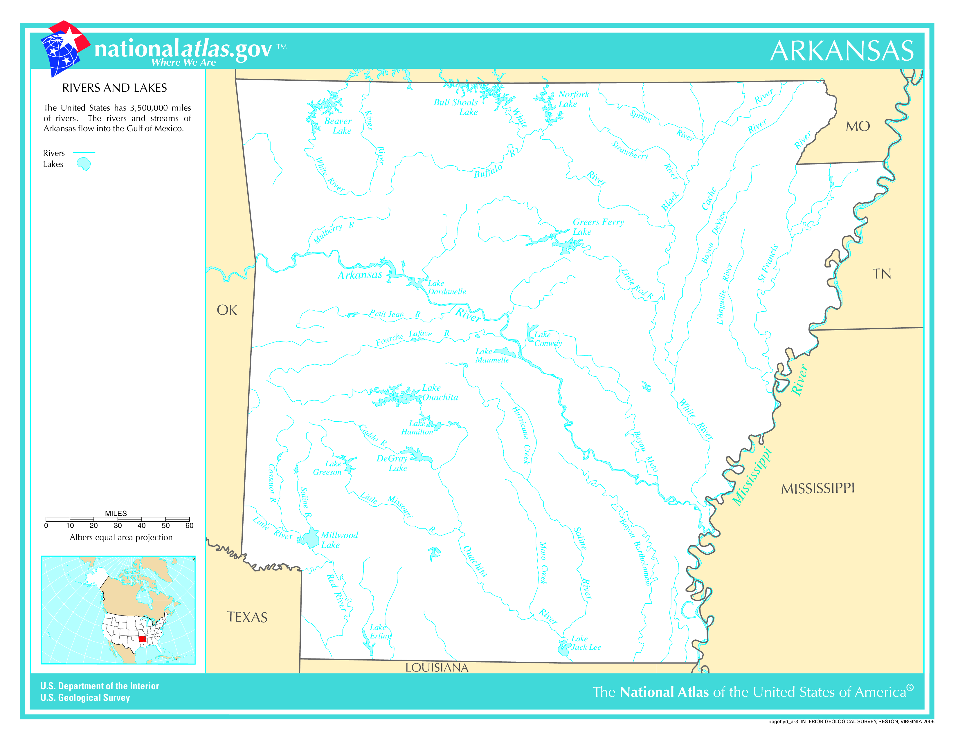
Longest River In Arkansas: Mississippi River 2,320 miles (3,730 km)
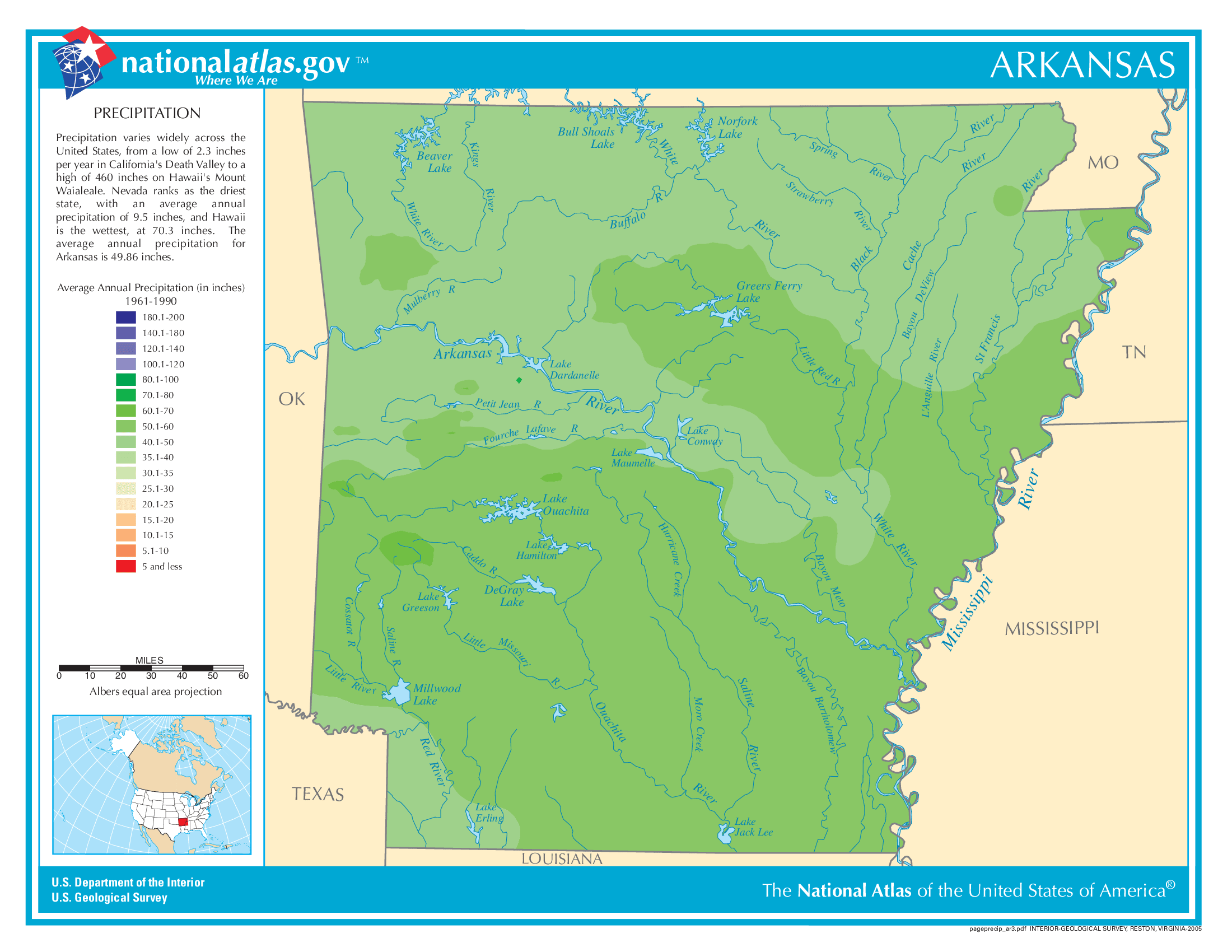
Arkansas Annual Precipitation Map
Arkansas Köppen Climate Map

What States Border Arkansas?
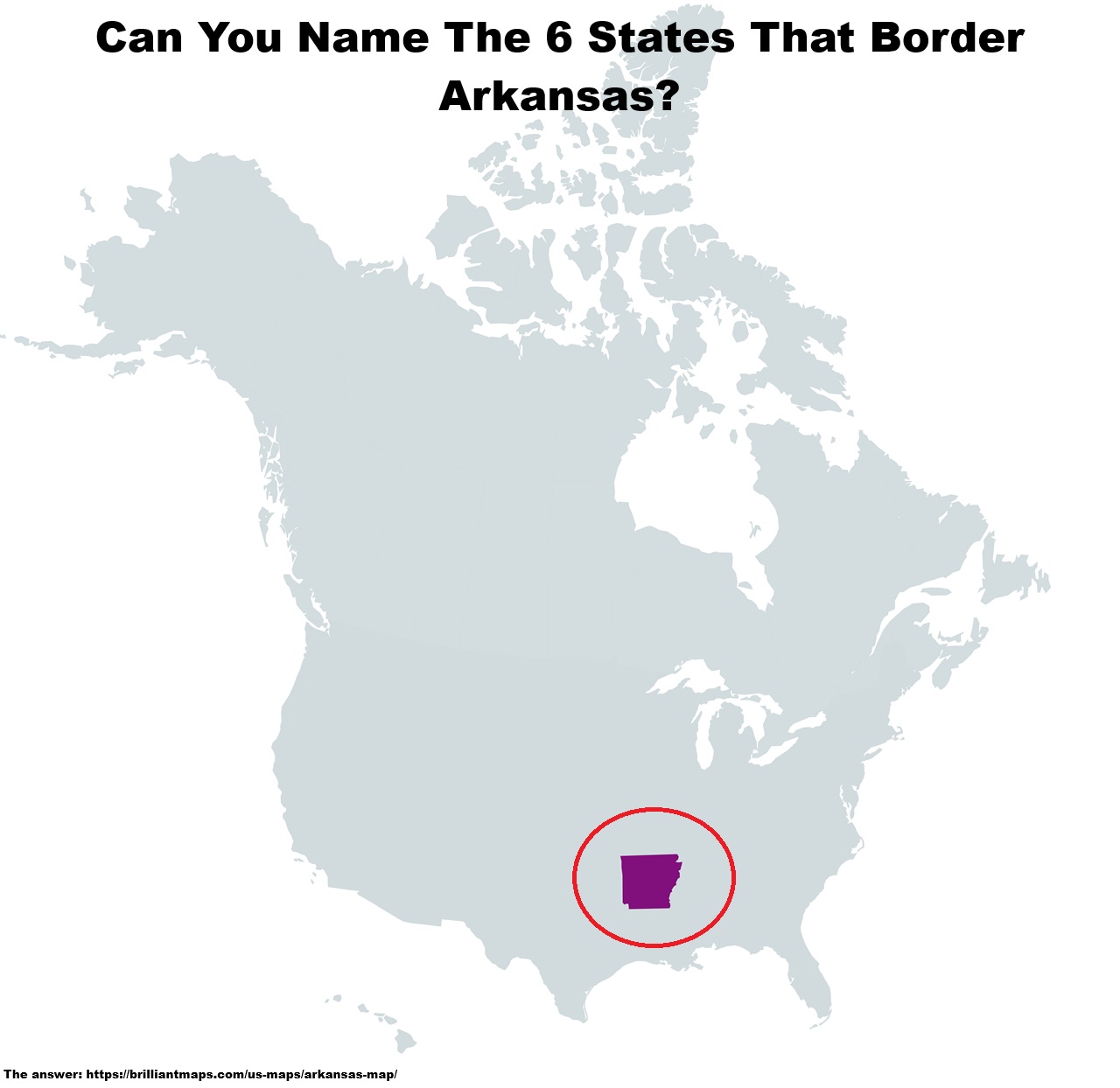
The answer: