
It also revels a very interesting fact. None of them has ever crossed the equator. But why?
Making Sense Of The World, One Map At A Time
It also revels a very interesting fact. None of them has ever crossed the equator. But why?

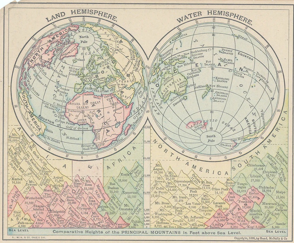
The map above shows the largest possible land and water hemispheres of the earth.
The Land hemisphere is still 53% Water and 47% land, but contains 93% of the world’s population.
The Water hemisphere on the other hand is 89% Water and only 11% land with only 7% of the world’s population.
And here’s a classic version of the same map from 1899:
Enjoy this map? Help us by sharing it:

The map above looks at which of the world’s 5 big cats can be found in which countries. Here are the 5 big cats and where they can be found.

You can read a 40 page detailed description of the map here.
But if you don’t have time to read the whole thing here’s a brief summary:


The map above shows where you can find most of the world’s major human language families. Although defining what is and isn’t a language can be quite difficult.
Here is a table with a list of the number world languages from Glottolog 5.0 and an estimated number of speakers from Ethnologue.

The map above shows which countries currently have IKEA stores, which countries have IKEA stores under construction and which countries used to have stores but no longer do (Russia).
In total, there are currently 473 IKEA stores operating in 63 countries and 5 territories. And this is where they are:

The map above shows which countries have fully legalized same sex-marriage as of 1 October 2024, but does not show those that have alternative arrangements such as civil unions and/or domestic partnerships.
Same sex marriage is legal in 38 countries which have a combined population of 1.5 billion people (around 20% of the world’s population).
Here is a full list by year:

All of these stunning elevation maps of the world’s continents (except Australia and Antarctica) are the brain child of cstats1 who you can follow on X/Twitter here and Instagram here.
And if you’d like to support them you buy something from their Amazon shop here.
The first map above is an elevation map of Europe. Here are the highest and lowest points in Europe:

The map above shows the flags in use of each country back in 1988. The most notable differences from today are the Soviet Union and Yugoslavia still being unified countries and East and West Germany still being divided.