All of the following maps are the work of Todd Jones who is according to his website:
The Mysterious Sandy Island: A Phantom Island That Had To Be Undiscovered
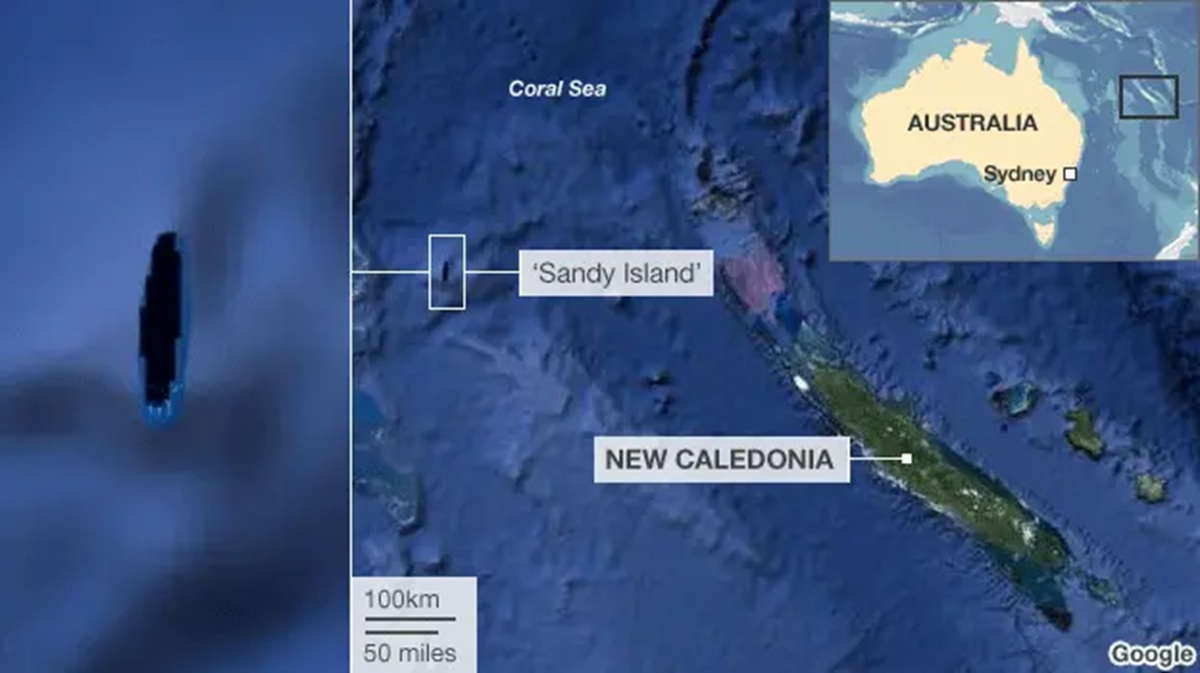
More about the story below:
Detailed Map of Easter Island
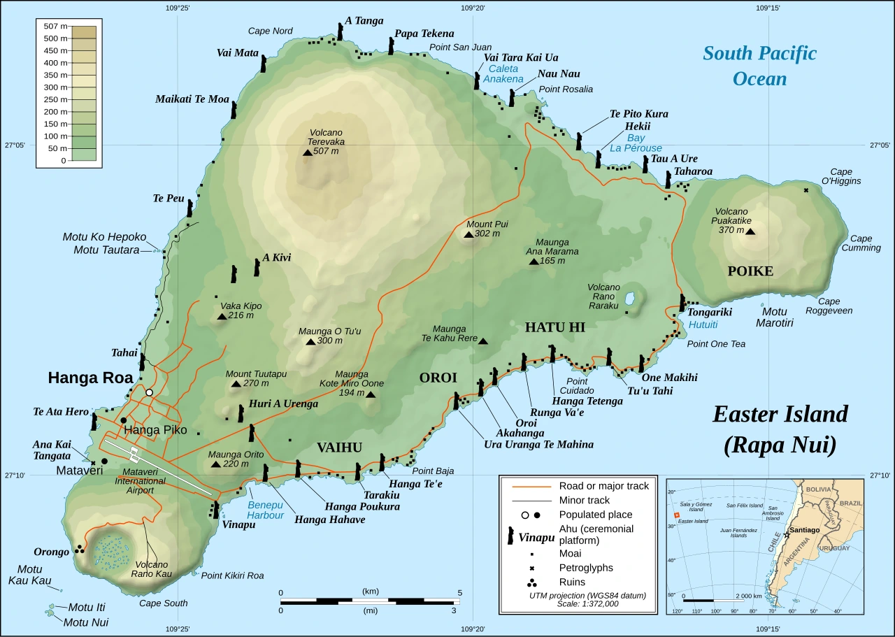
It’s famous for its monumental stone statues called the moai and has a fascinating history of rise, transformation, and resilience.
Iran’s Size Compared To 5 Other Countries The US Has Invaded
The following 5 maps show just how big a geographic area Iran covers compared to the United State’s other major post-WW2 wars.
All size comparisons come from TrueSize.net
Korea (North & South)
Map Men Complete Video Playlist Sorted From Least To Most Popular (Including Episode Summaries)
I’m a huge fan of Jay Foreman and Mark Cooper-Jones Map Men series.
You can watch their videos in chronological release order here on Youtube.
And buy a copy of their book: This Way Up: When Maps Go Wrong (And Why It Matters) here.
But which of their videos is the most popular?
Below we rank them from least to least popular (based on view count) with a brief summary of each video:
Why Does No One Talk About The Bermuda Triangle Anymore?

The Short answer is because it stopped being mysterious once people realized there was nothing unusually dangerous about it.
Countries With At Least 10 Citizens Living In Greenland

Ukraine Between Two Octobers (2012-2025)

Territorial Changes In The Ukraine War Compared To The Western Front In WW1

The map above makes a rather interesting comparison that between how much territory has been lost in Ukraine War from January 2024 to November 2025, compared to that lost on the Western Front In WW1 from January 1915 to November 1916.
More about the map below:
Map Of The 18,000 Asteroids In The Solar System

More about them:
- « Previous Page
- 1
- 2
- 3
- 4
- …
- 15
- Next Page »