Brilliant Maps

Making Sense Of The World, One Map At A Time

  • BOOK!
  • Newsletter
  • Games & Quizes
  • Map Based Polls
  • Map Tools

You Can Get To Every State & Province Minnesota Borders By Only Travelling South

Last Updated: September 8, 2025 Leave a Comment

Click To Get My 10 Best Brilliant Maps For Free:

You Can Get To Every State & Province Minnesota Borders By Only Travelling South

Map created by reddit user ThePirateRS
The map above shows that it’s theoretically possible to travel south Minnesota and still enter every state and province it borders. It was actually inspired by this map about Arkansas.

from the author:

I know it seems like this isn’t true at least including Manitoba but hear me out.

The Angle Inlet is a tiny community on the edge of the Lake of the Woods which is the Northernmost point in the contiguous US.

It sits on the Canadian side of the lake due to a mapping discrepancy in the 1700s and you can only drive to it if you cross the Canadian border.

While the border looks North to South, I researched a bit and looked into the actual border coordinates.

According to the International Boundary Commission which maintains the border between Canada and the United States, the Northwestern most point of the border in Angle is 49.384472 -95.153389 which travels South to where it meets the Northern border of the United States in the Lake of the Woods at 48.998861, -95.153194.

This means the border runs slightly Southeast, and if you were to travel perfectly South from the Northwest point of Minnesota, you’ll end up about 8 meters into Canada by the time you hit Lake of the Woods and about 14 meters by the time you hit the end of the border in the lake.

So you can travel south and enter:

  • North Dakota
  • South Dakota
  • Iowa
  • Wisconsin
  • Michigan (maritime border)
  • Manitoba

What do you think?

Filed Under: United States

Click To Get My 10 Best Brilliant Maps For Free:


Other Popular Maps

  • Numbers That Are Used To Make Silly Jokes In Europe

    Numbers That Are Used To Make Silly Jokes In Europe

  • Map Showing How & When Slavery Was Abolished In The United States

    Map Showing How & When Slavery Was Abolished In The United States

  • Cheek-Kissing As A Form Of Greeting Including The Number Of Kisses Given

    Cheek-Kissing As A Form Of Greeting Including The Number Of Kisses Given

  • Mapping The World’s $1 Trillion Economies In 2025

    Mapping The World’s $1 Trillion Economies In 2025

  • How Whites Voted In The 2016 US Presidential Election by State & County

    How Whites Voted In The 2016 US Presidential Election by State & County

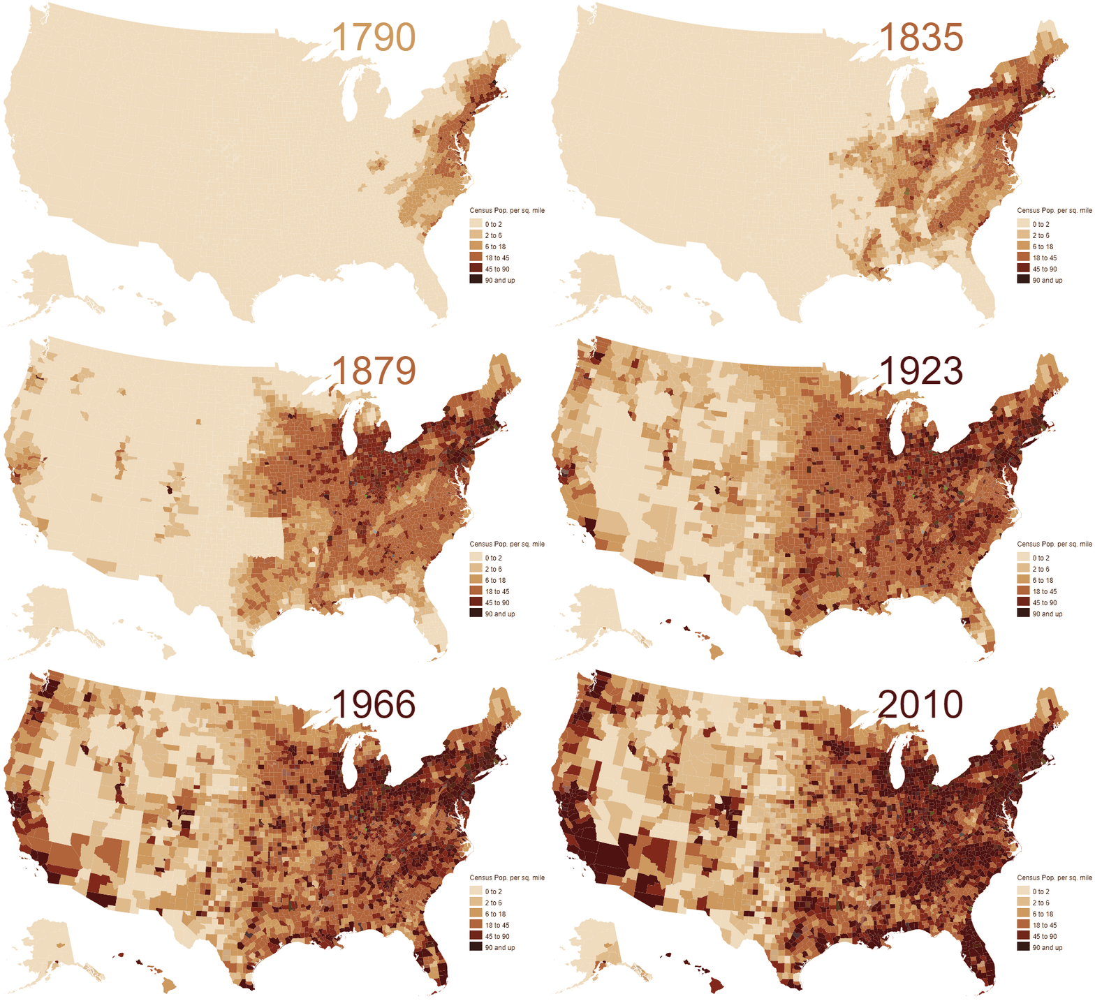
  • 200 Years Of Us Population Growth In 2 Minutes

    200 Years Of Us Population Growth In 2 Minutes

  • A Map Of Every European City

    A Map Of Every European City

  • 2016 Democratic Presidential Primary Results by County

    2016 Democratic Presidential Primary Results by County

Leave a Reply Cancel reply

Your email address will not be published. Required fields are marked *

This site uses Akismet to reduce spam. Learn how your comment data is processed.


Product Reviews · World Atlas · Map Posters · Settlers of Catan · Risk · Game of Thrones · Coloring Books · Globes · Monopoly · Star Wars · Game of Life · Pandemic · Ticket To Ride · Drinks Cabinets
Size Comparisons · US Locations · Flight Maps · Fleet Management
Copyright © 2026 · Privacy Policy · Fair Use, Attribution & Copyright · Contact Us
Follow Us: Newsletter · Facebook · Youtube · Twitter · Threads · BlueSky · LinkedIn · Instagram · Pinterest · Flipboard