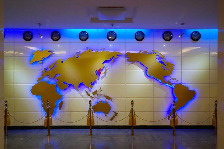
The photo above, allegedly shows a North Korean (Democratic People’s Republic of Korea; DPRK) world map.
It takes several cartographical liberties, most notably showing the entire Korean peninsula as a single unified country.
Making Sense Of The World, One Map At A Time
The photo above, allegedly shows a North Korean (Democratic People’s Republic of Korea; DPRK) world map.
It takes several cartographical liberties, most notably showing the entire Korean peninsula as a single unified country.
Painted on a cooling tower of a disused gas plant near Meppen, Germany.
The map above is in the Guinness Book of World Records as being the largest. However, reddit user cragglerock93 disputes this claiming that Dubai’s World Islands, while “… not exactly a geographically accurate map,” are in fact be bigger.

While it doesn’t look it, Africa is big, really big. In fact, Africa’s true size is 30 million square km, just under twice the size of Russia or bigger than Canada, the United States and China put together!
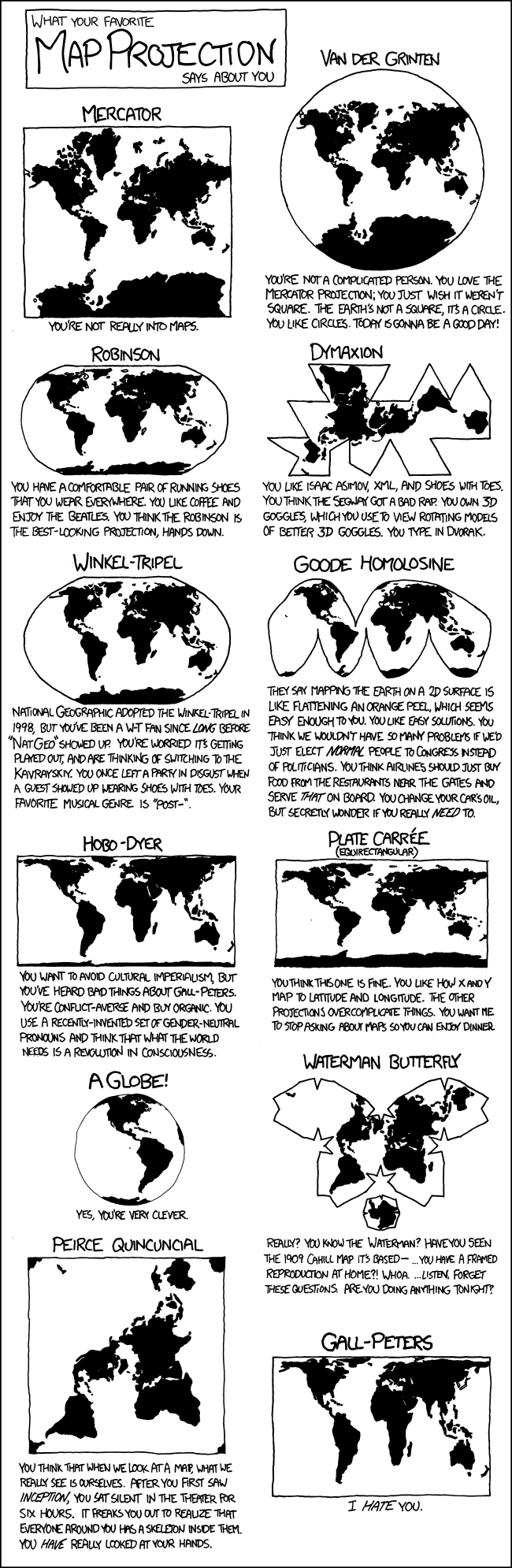
Most people go through life perfectly happy in the knowledge that the real earth looks like it does on a standard Mercator projection map. Cartographers, map nerds and those that have seen this scene from the West Wing know that this is not really the case.