How do the 50 US states compare with each other? This hub collects all of our state and county comparison pages: maps of the biggest, smallest, richest and poorest places in America, with sortable tables covering every state and every county.
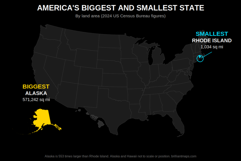 US States and Counties: Area, Population and Population DensitySortable tables of all 50 states and all 3,144 counties by land area, total area, population and population density, plus maps of the largest and smallest county in every state.
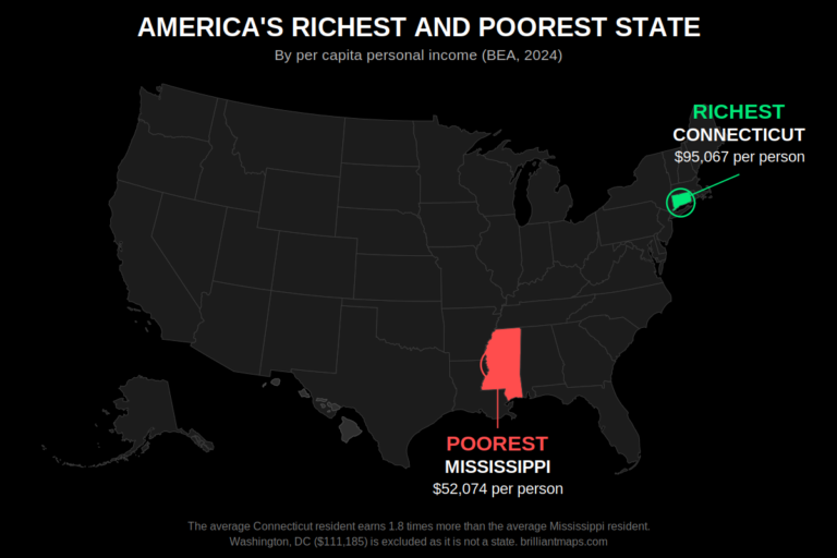 US States and Counties Ranked by GDP, GDP per Capita and Average IncomeSortable tables of every state and county by GDP, GDP per capita and average income, plus maps of the richest and poorest county in every state.
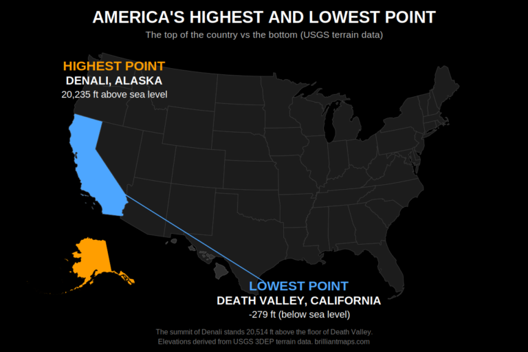 The Highest and Lowest Point in Every US State and CountyThe highest and lowest point in all 50 states and all 3,144 counties, with sortable elevation tables and a map of the highest and lowest county in every state.
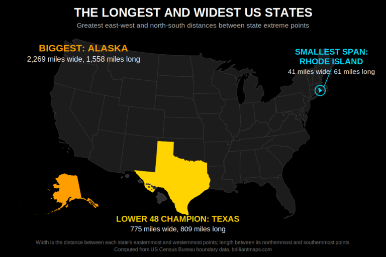 The Length and Width of Every US StateHow wide and how long is every US state? A sortable table of all 50 states plus a measurement map for each one showing its east-west and north-south span in miles and kilometers.
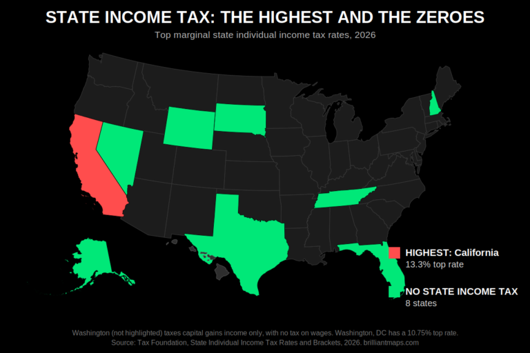 US States Compared by Income, Sales and Property Tax RatesIncome, sales and property tax rates for all 50 states in one sortable table, with maps of the highest-tax states and the states that charge no income or sales tax at all.