How big is each US state, how many people live there, and how tightly packed are they? The tables below cover all 50 states plus the District of Columbia, and all 3,144 counties and county equivalents, using 2024 US Census Bureau land area figures and Vintage 2024 population estimates. Click any column heading to sort. Below the tables you will find maps of the largest and smallest county in every state by land area, population and population density.
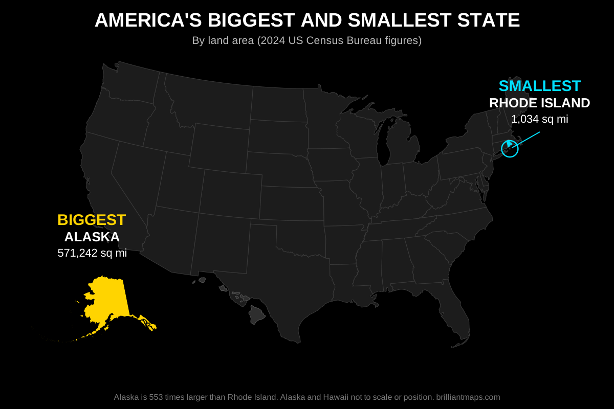
All 50 States Ranked by Area, Population and Density
Land area in square miles. Total area includes water. Population is the Census Bureau Vintage 2024 estimate. Density is people per square mile of land. The District of Columbia is included for reference.
| # | State | Land Area (sq mi) | Total Area (sq mi) | Population (2024) | Density (per sq mi) |
|---|
All 3,144 US Counties Ranked by Area, Population and Density
Every county and county equivalent in the United States, including parishes in Louisiana, boroughs and census areas in Alaska, independent cities in Virginia, and the nine planning regions that replaced counties in Connecticut. Use the search box to filter by county or state name.
| # | County | State | Land Area (sq mi) | Total Area (sq mi) | Population (2024) | Density (per sq mi) |
|---|
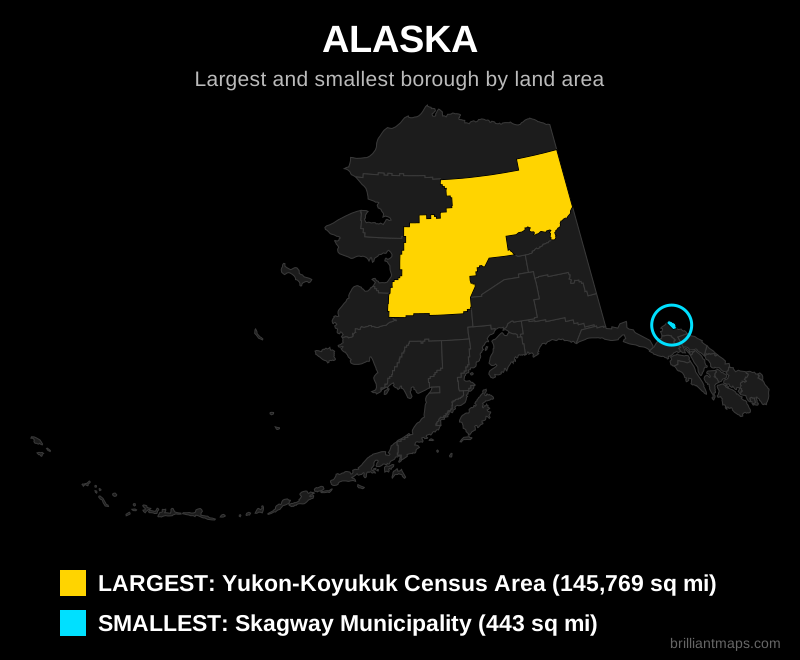
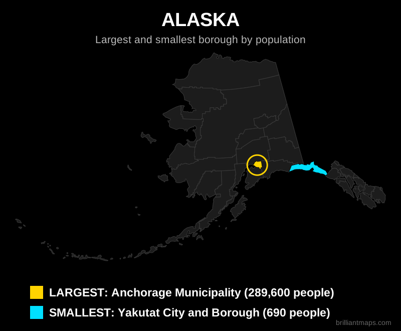
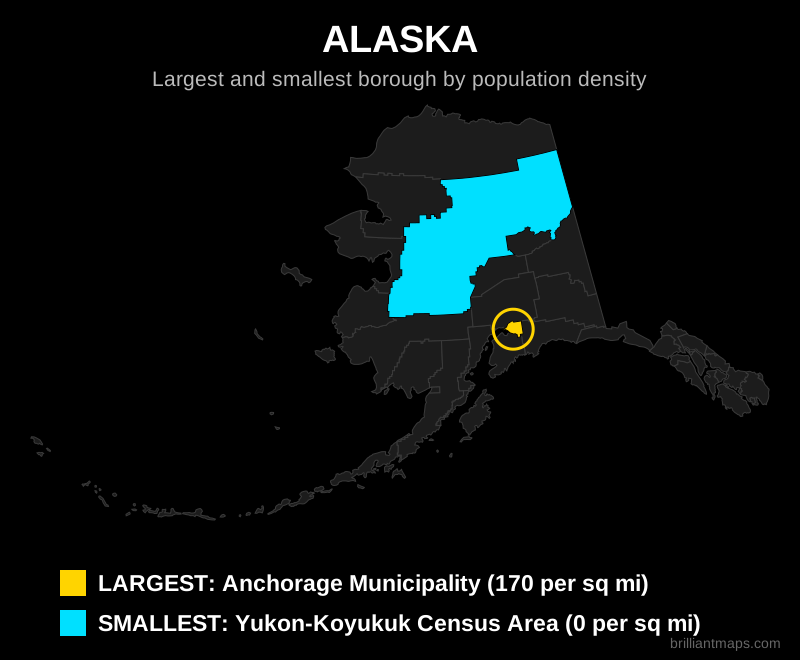
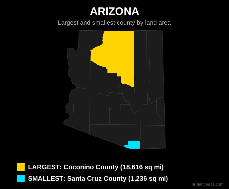
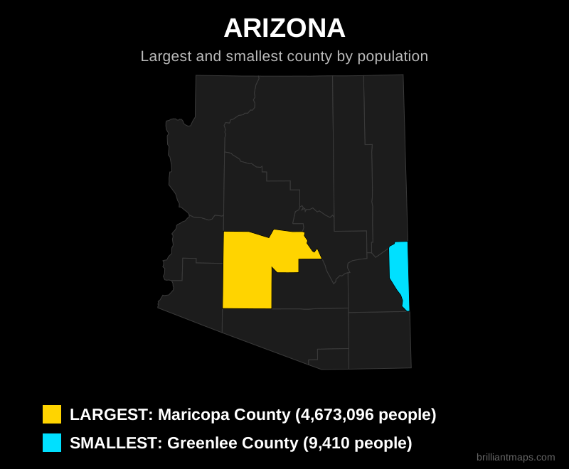
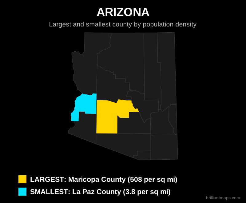
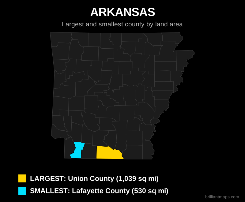
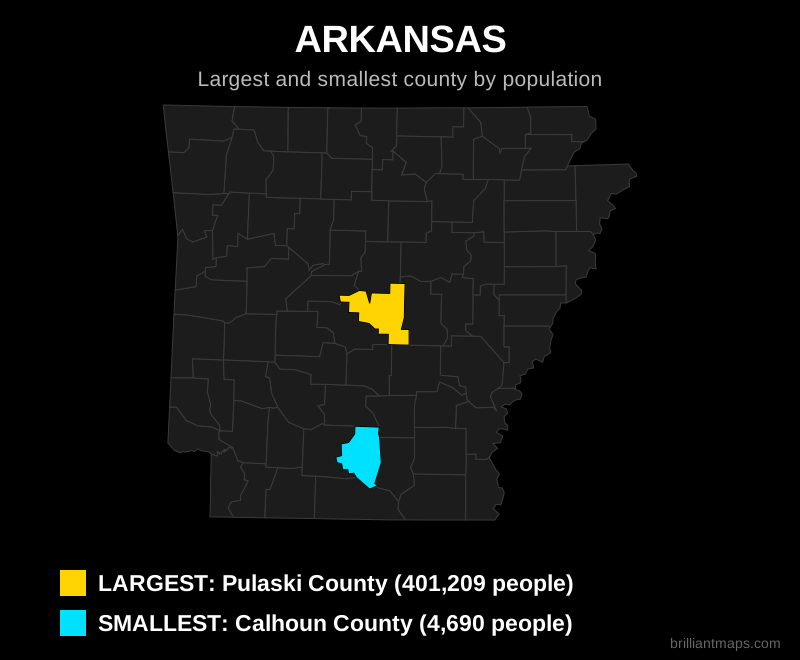
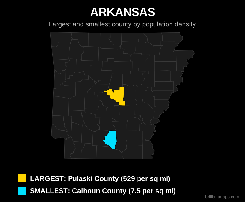
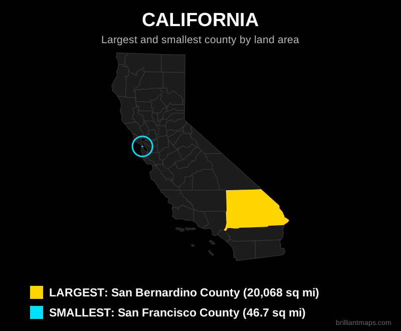
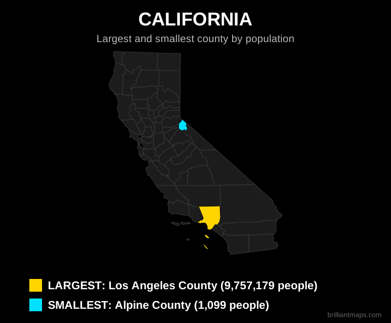
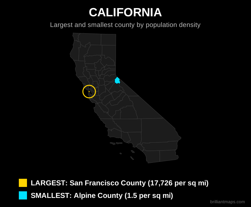
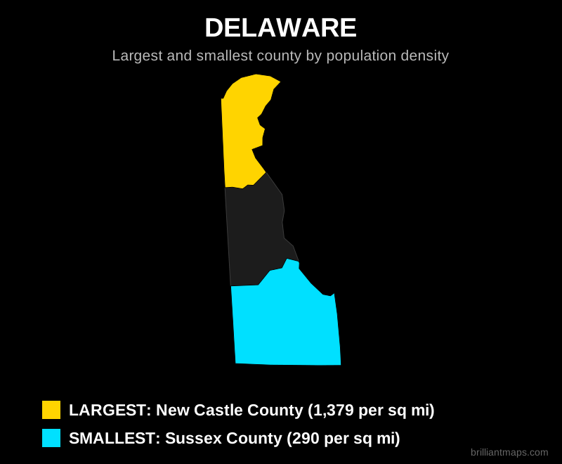
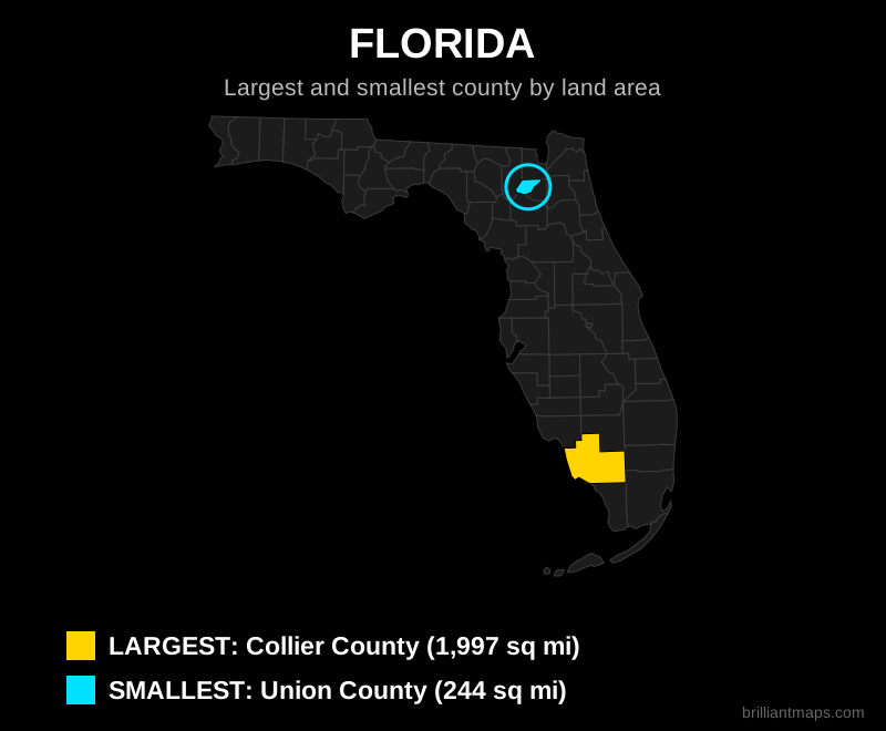
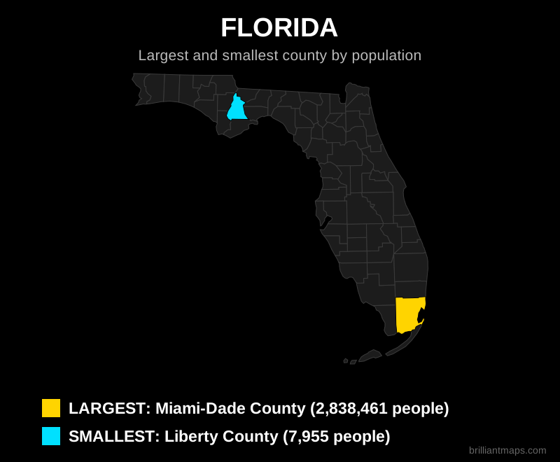
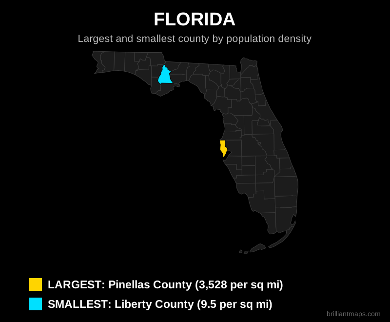
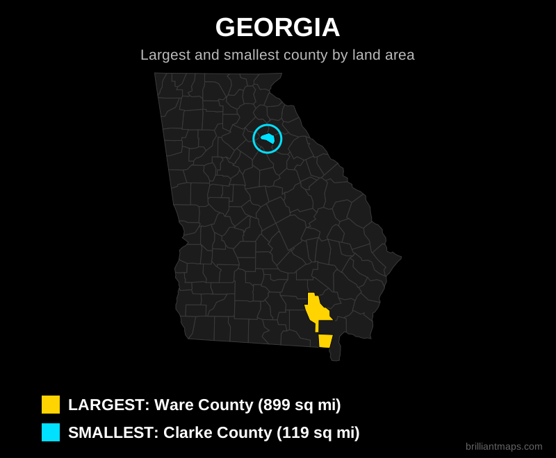
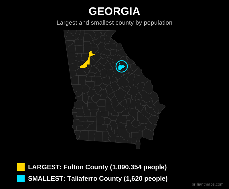
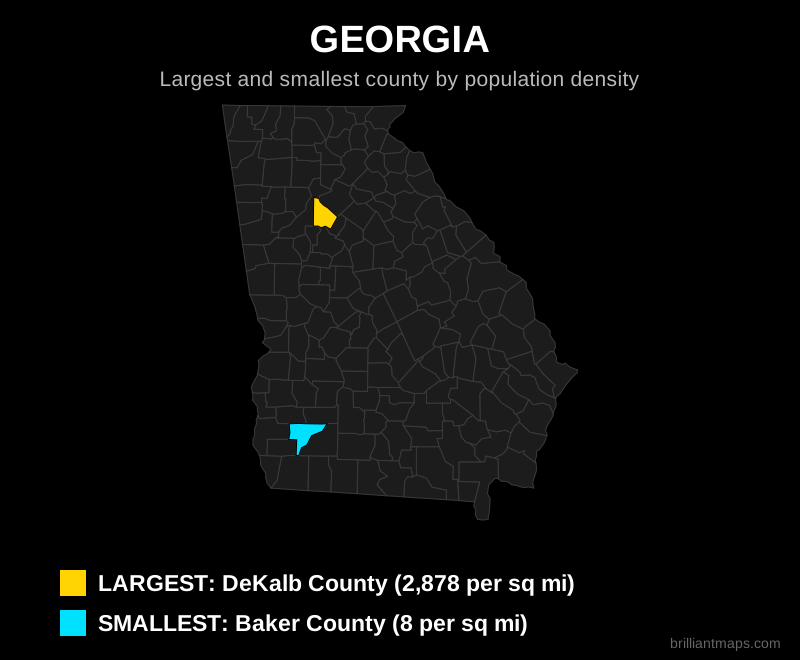
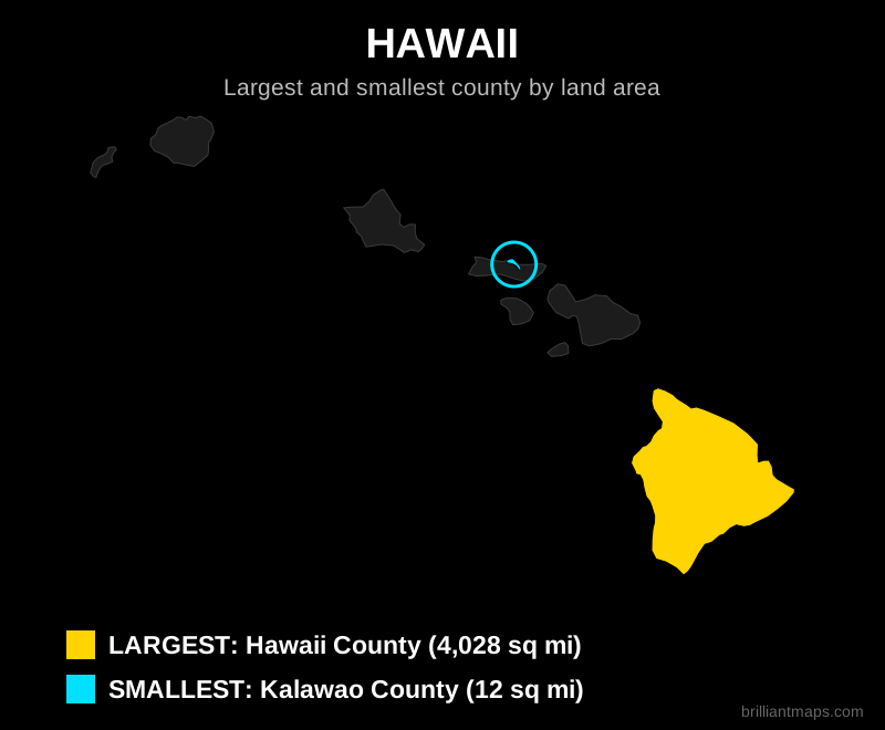
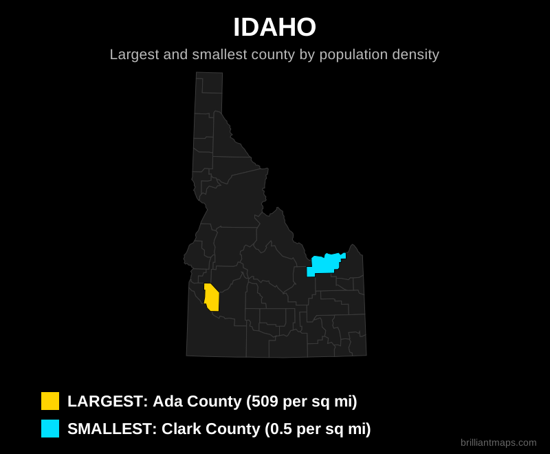
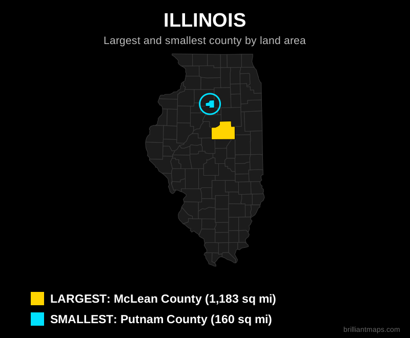
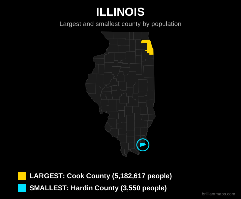
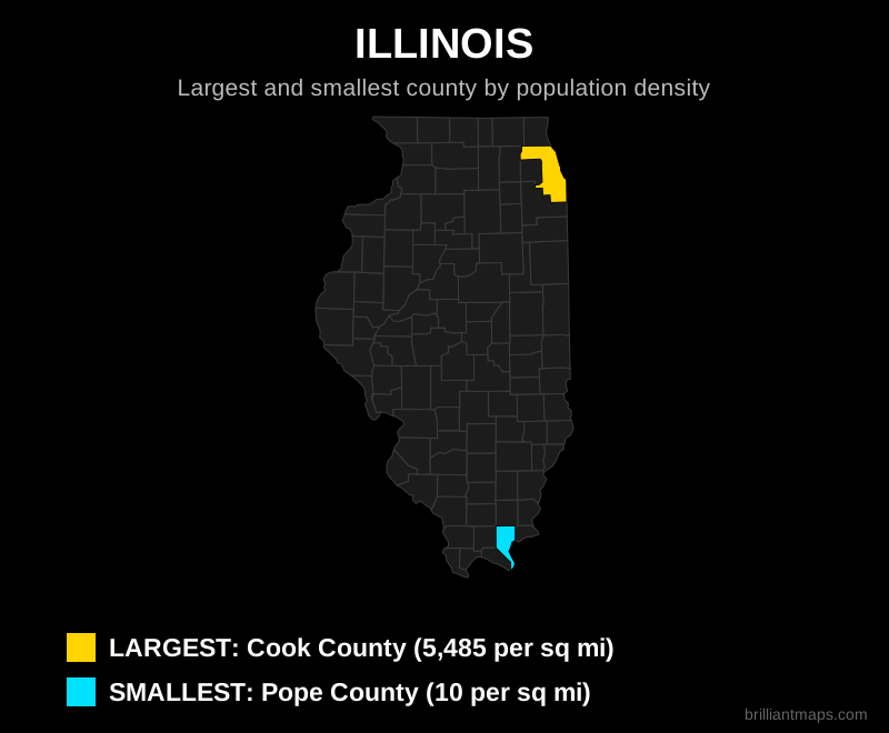
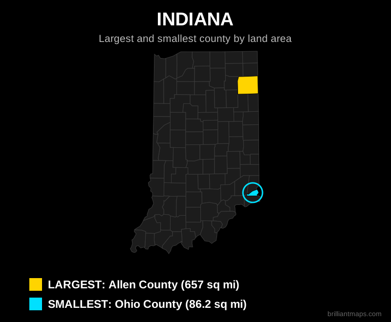
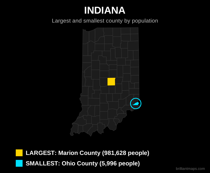
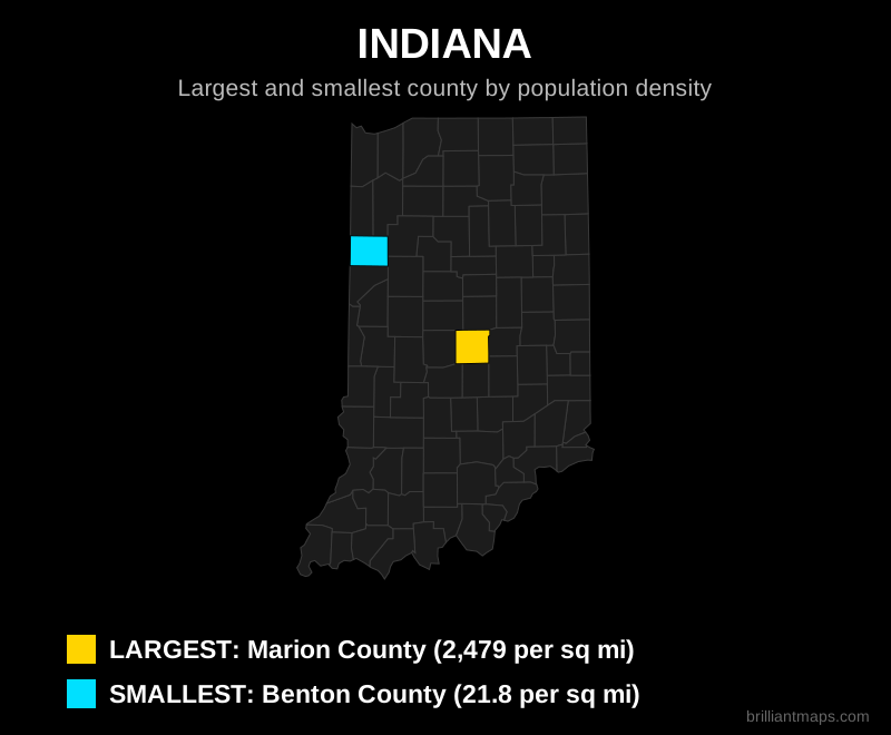
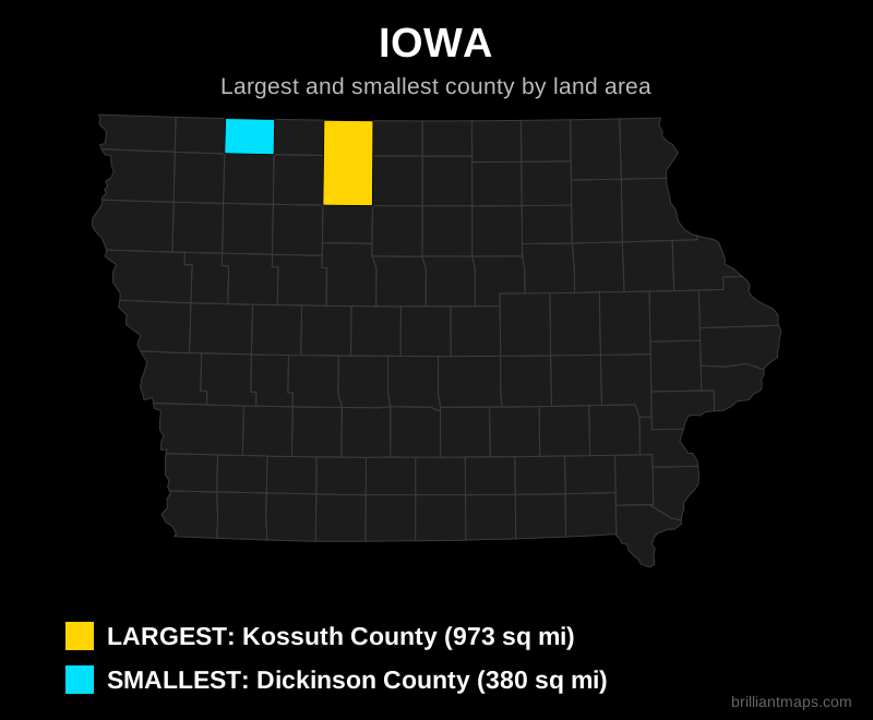
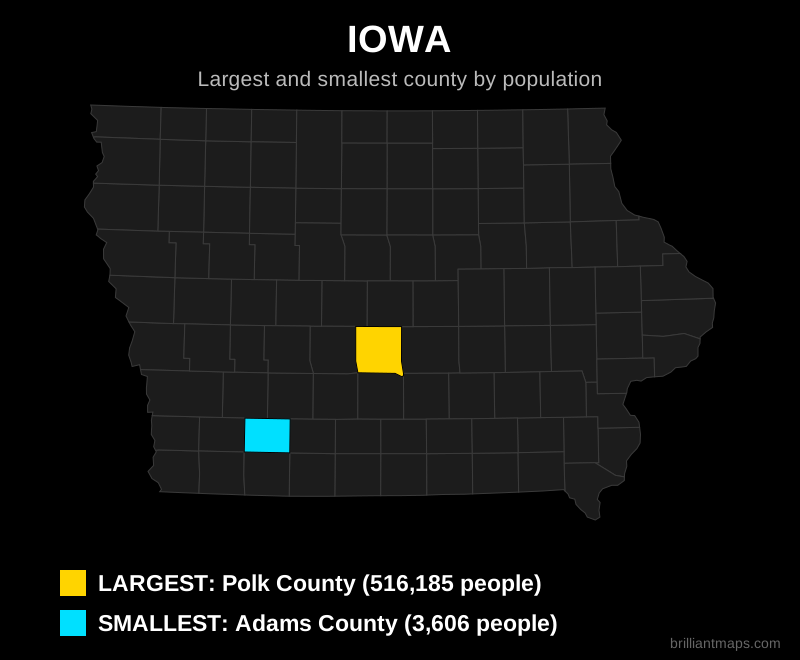
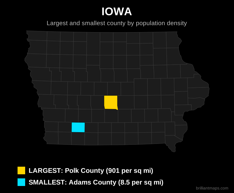
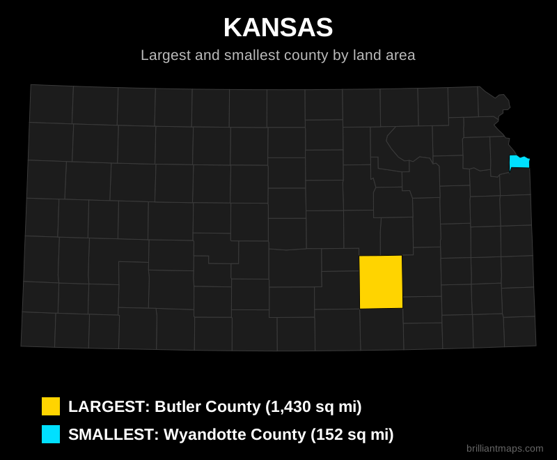
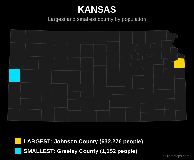
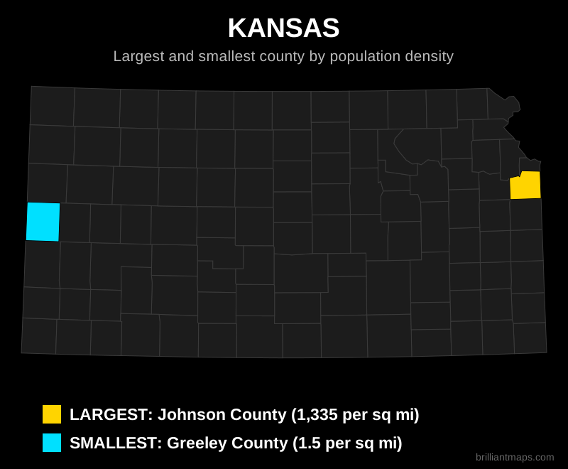
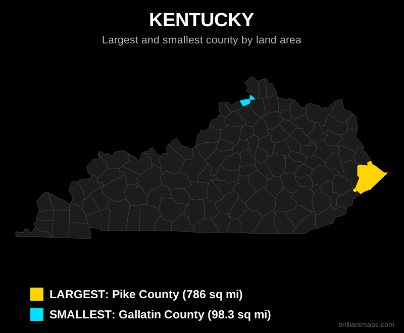
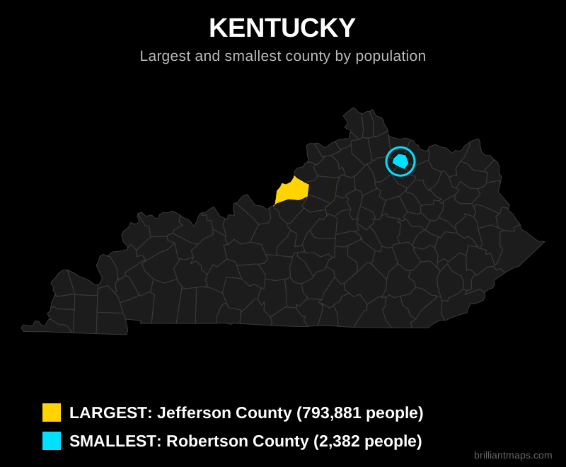
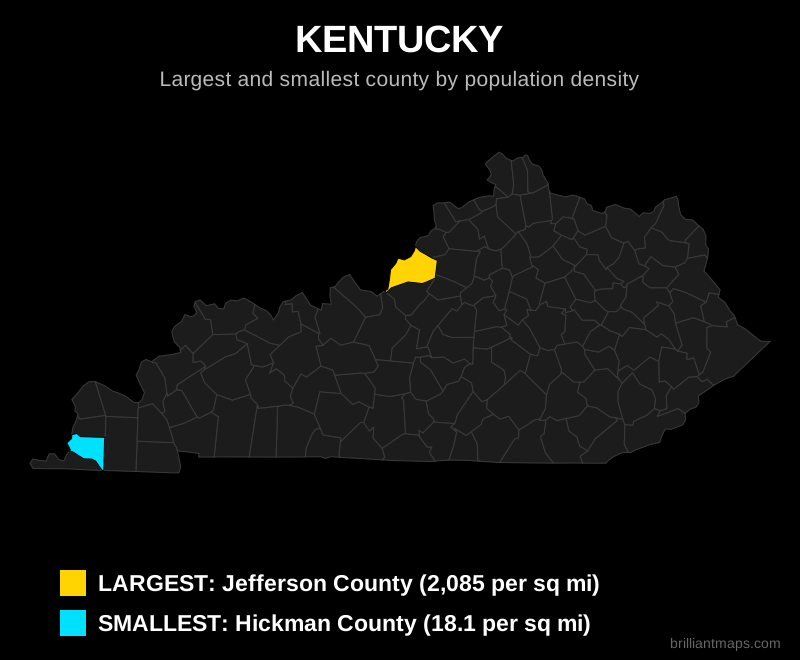
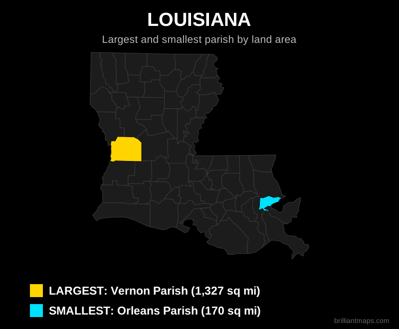
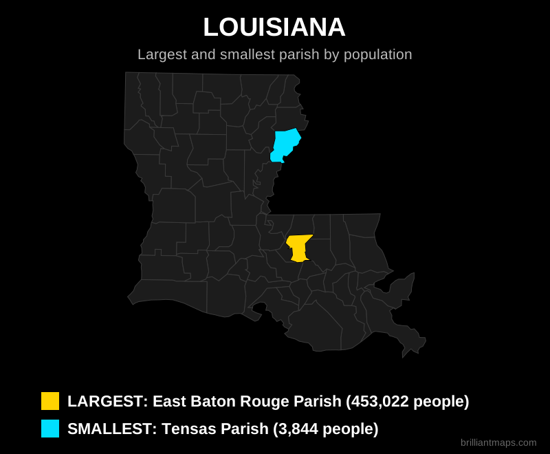
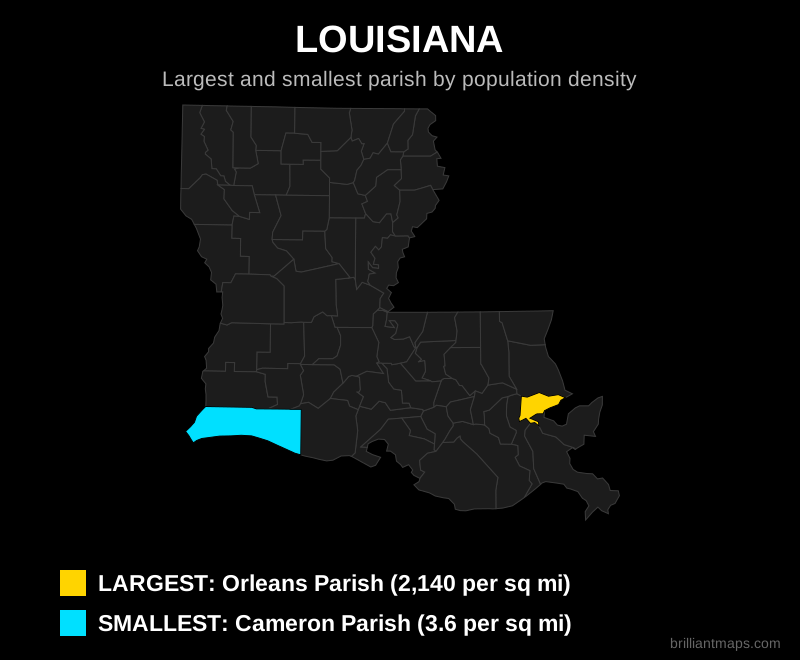
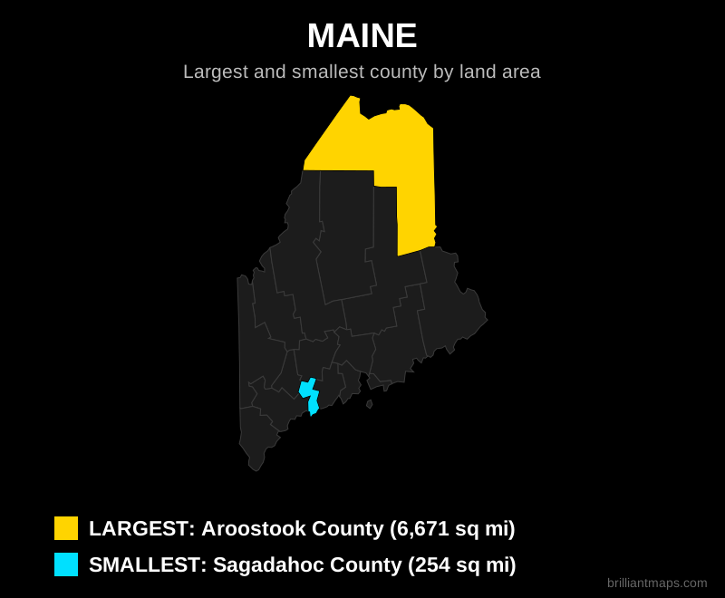
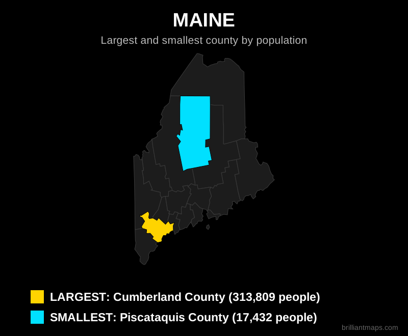
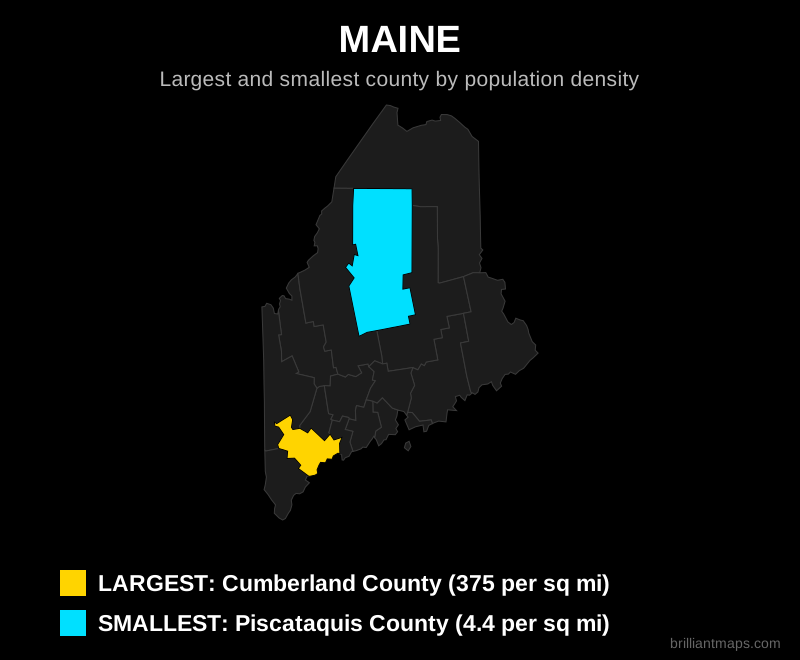
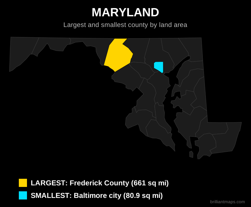
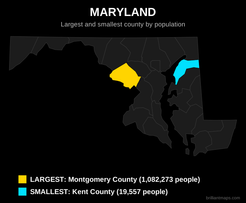
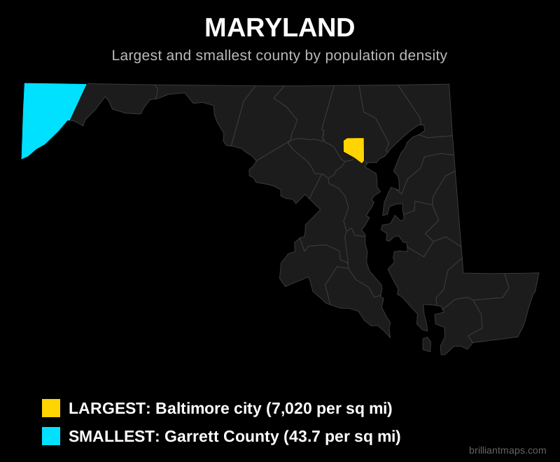
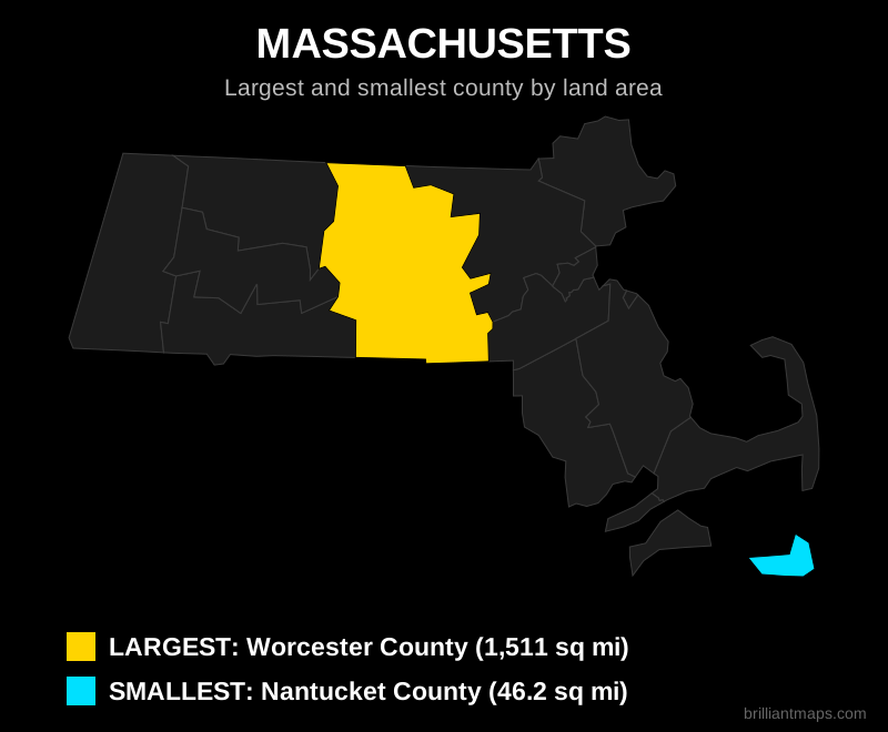
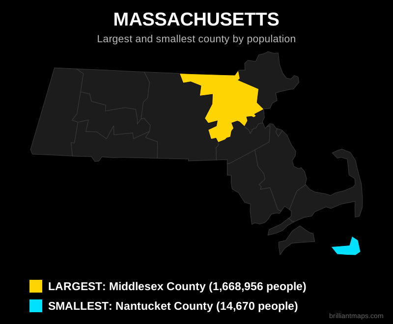
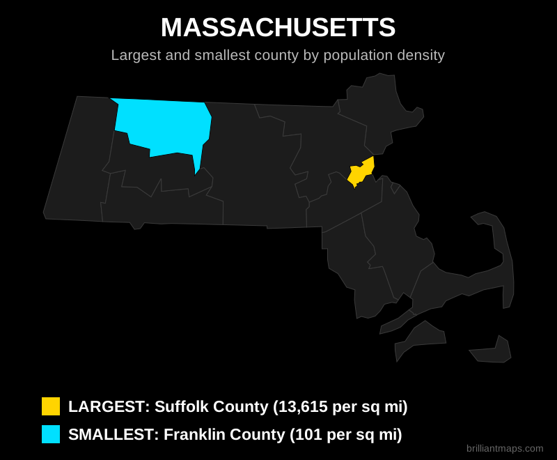
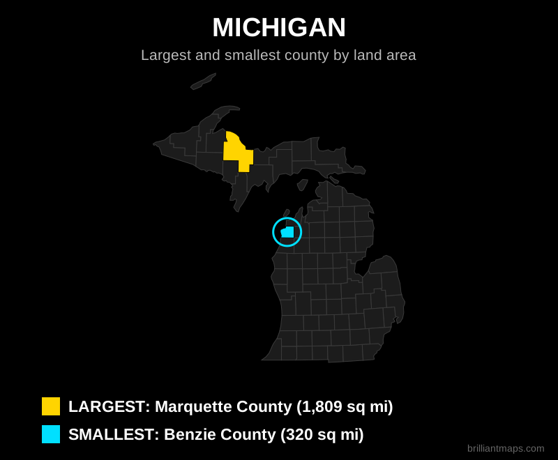
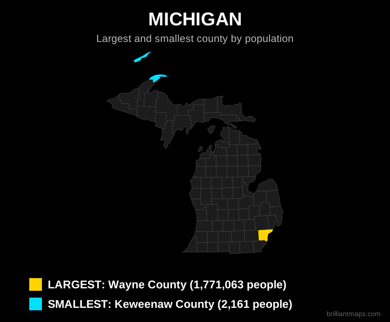
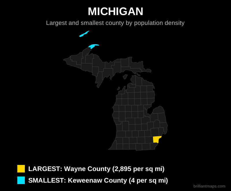
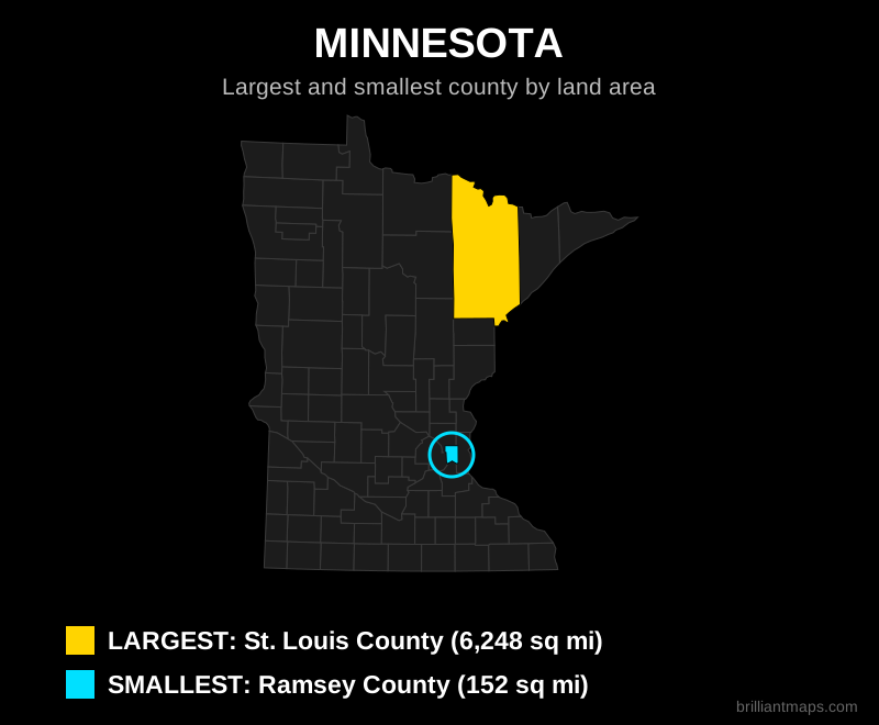
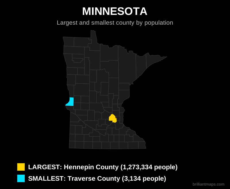
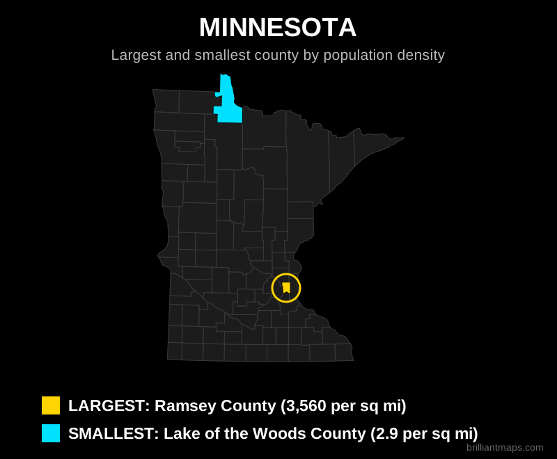
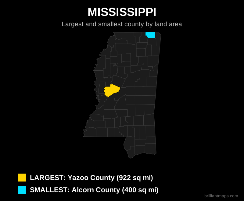
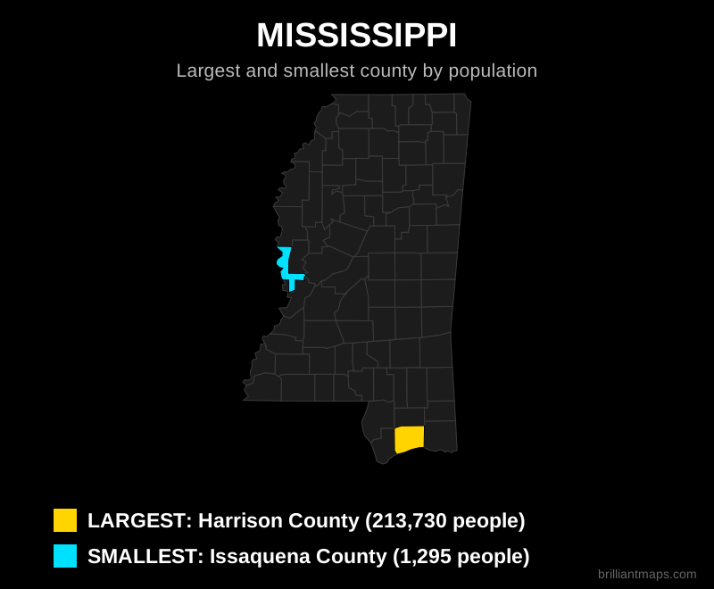
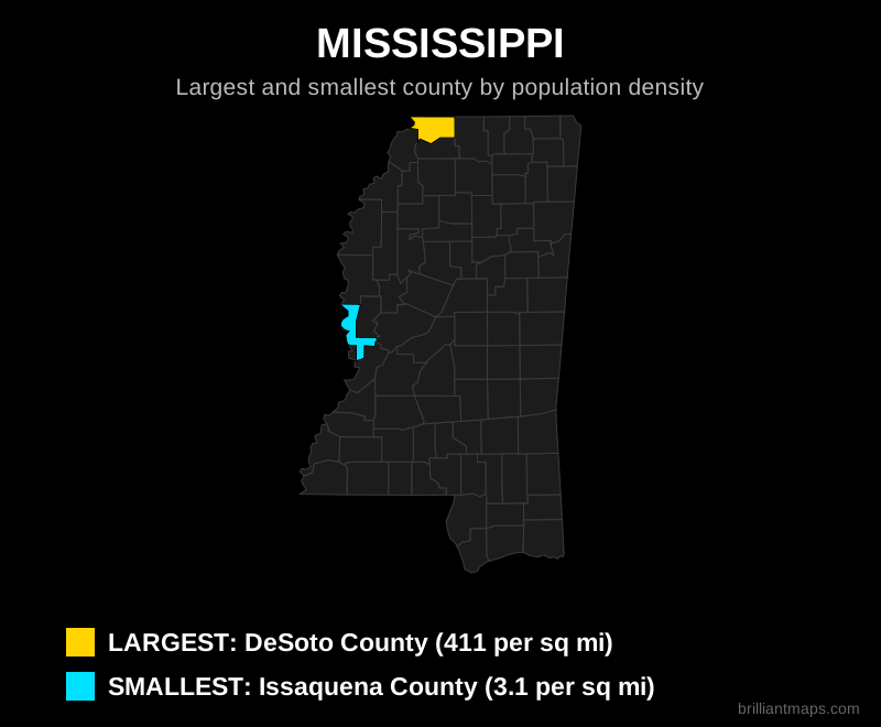
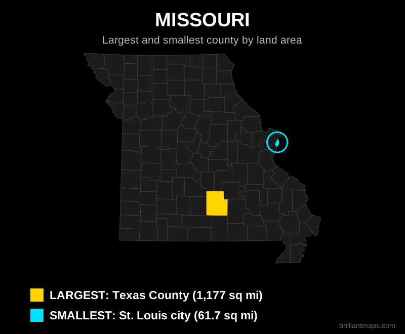
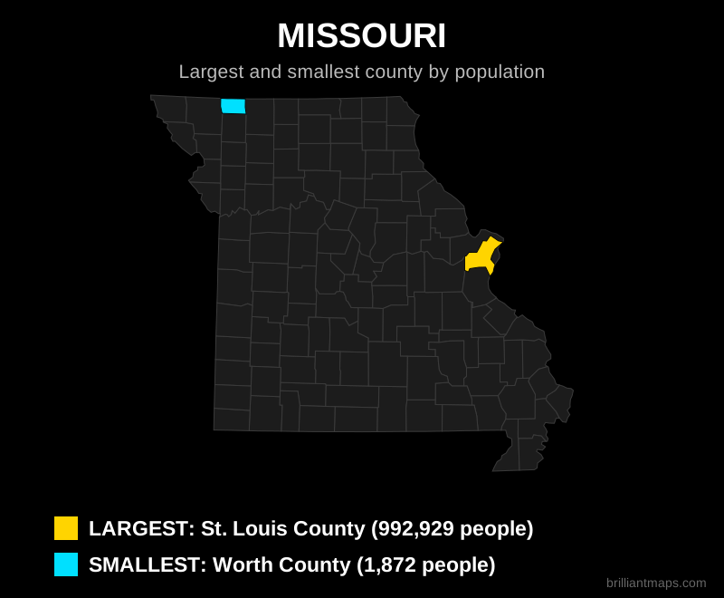
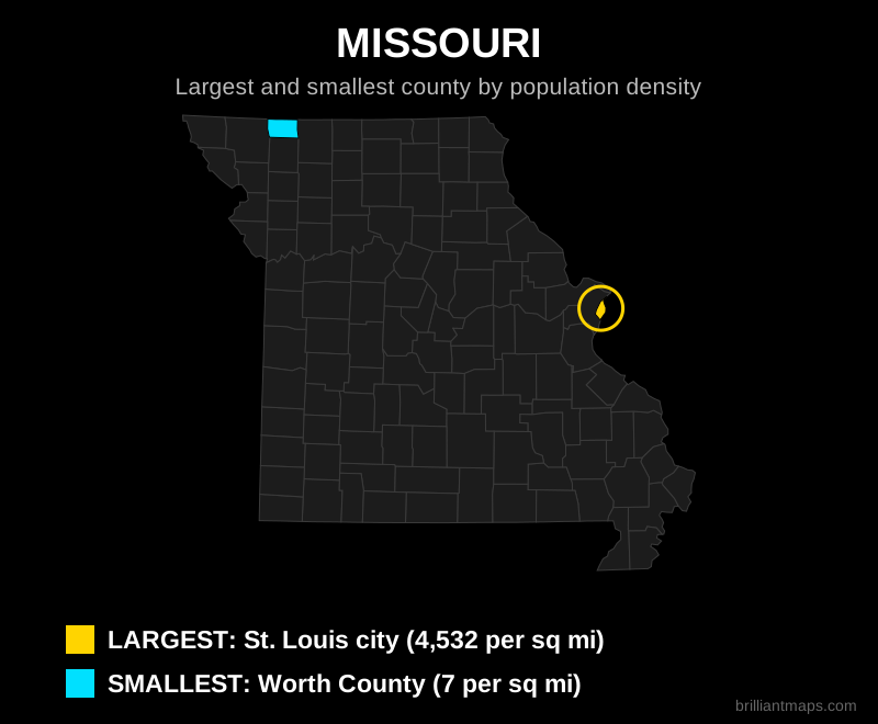
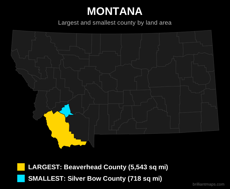
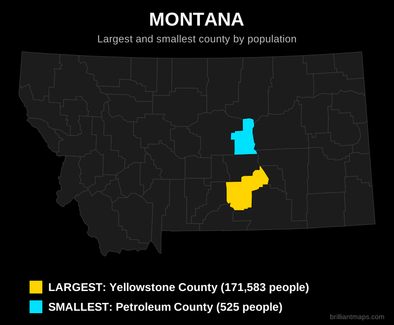
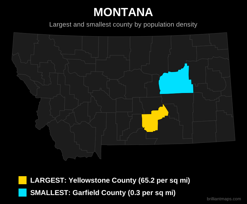
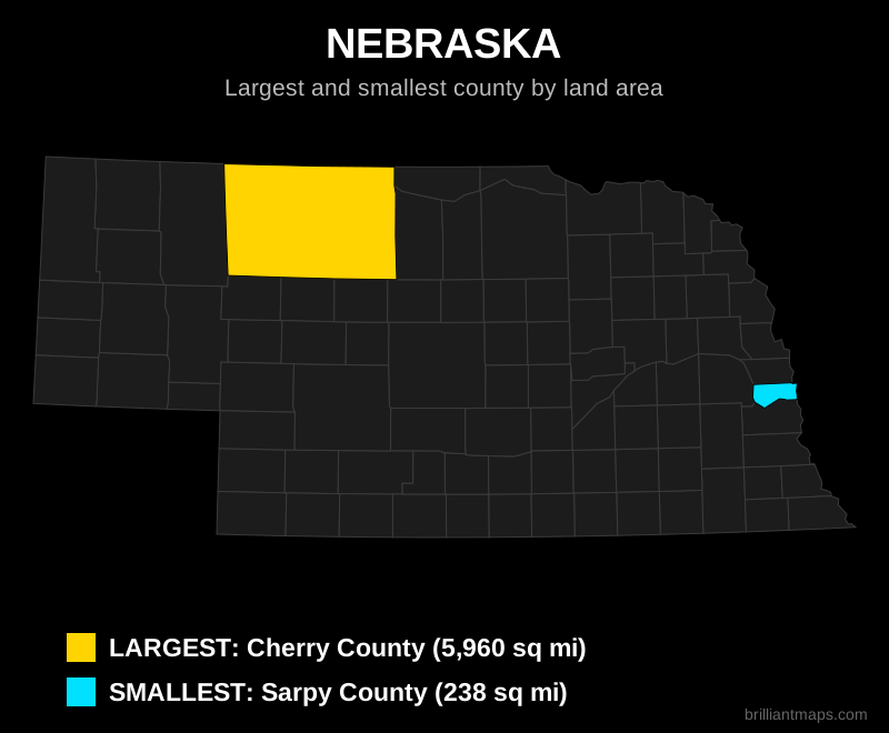
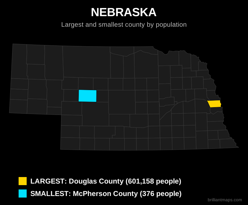
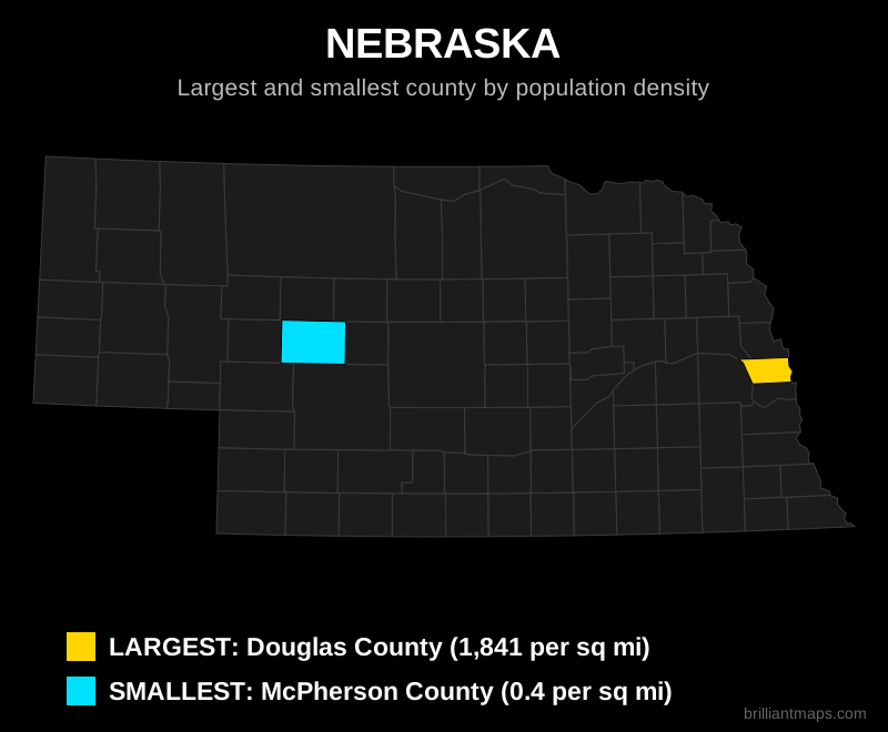
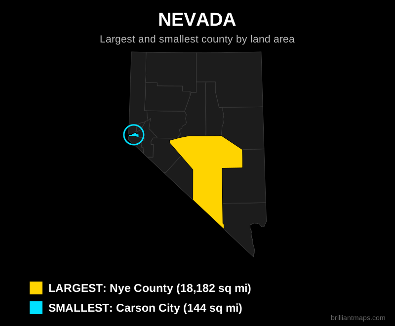
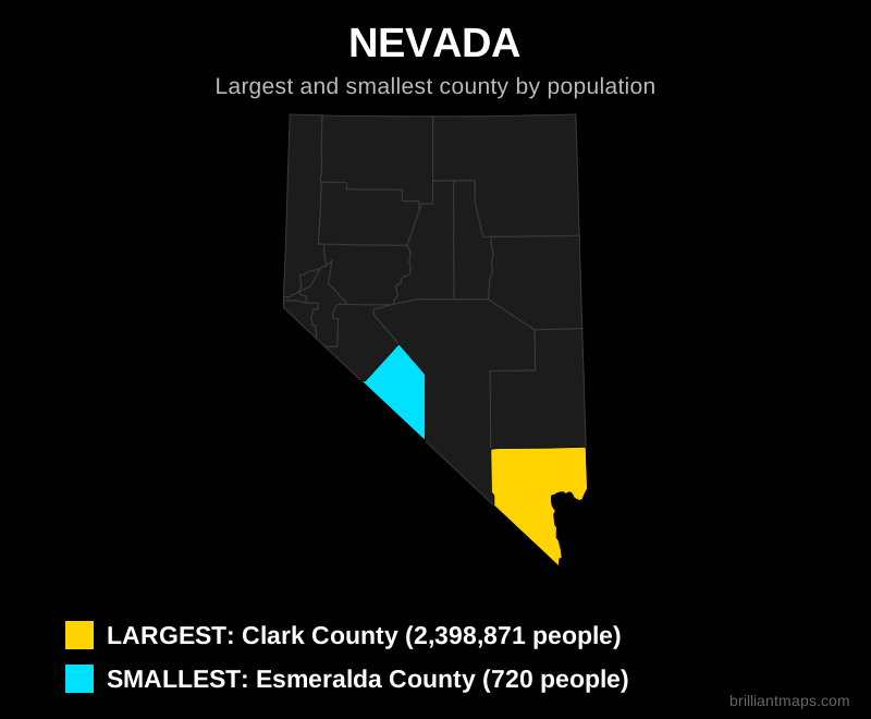
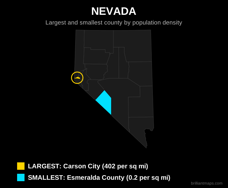
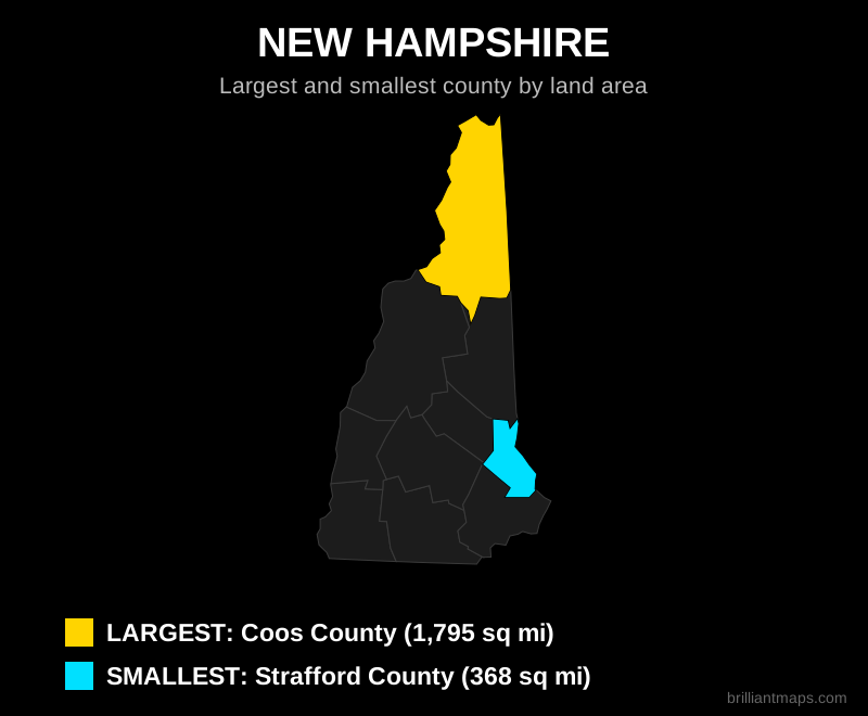
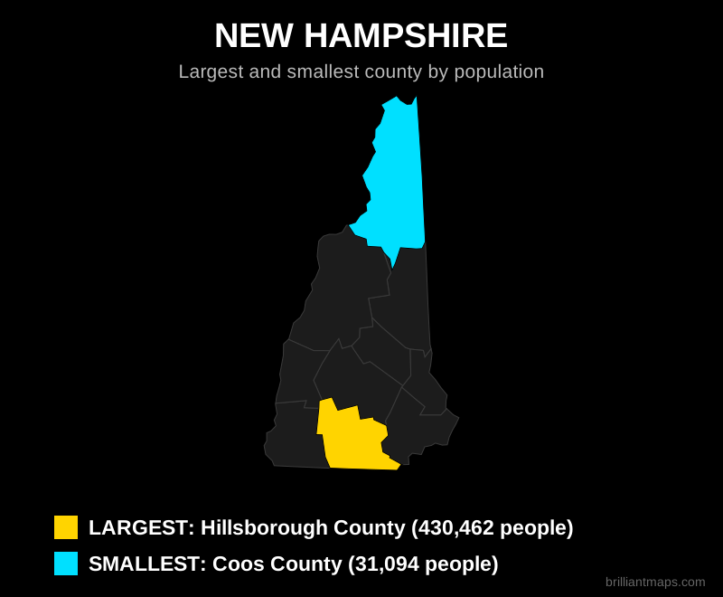
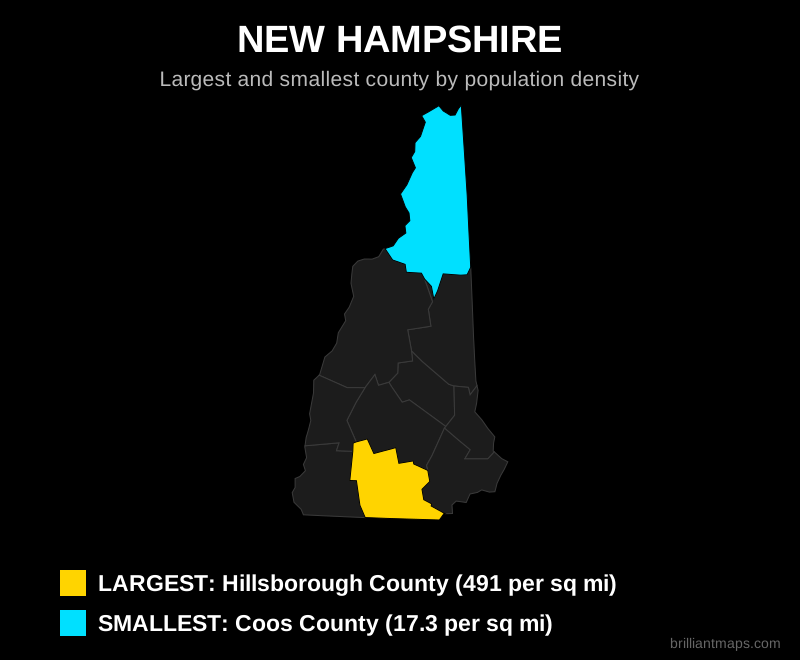
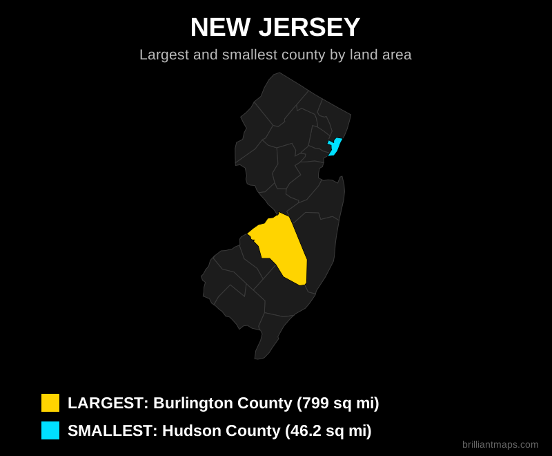
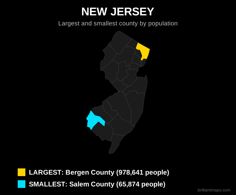
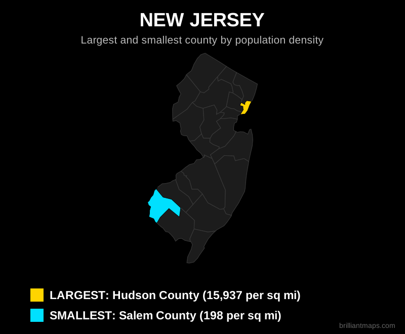
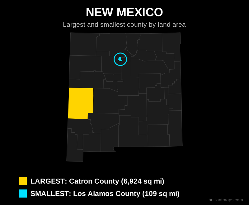
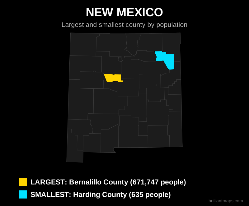
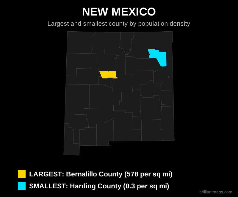
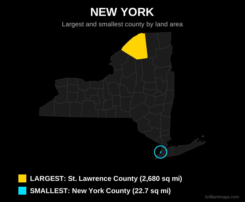
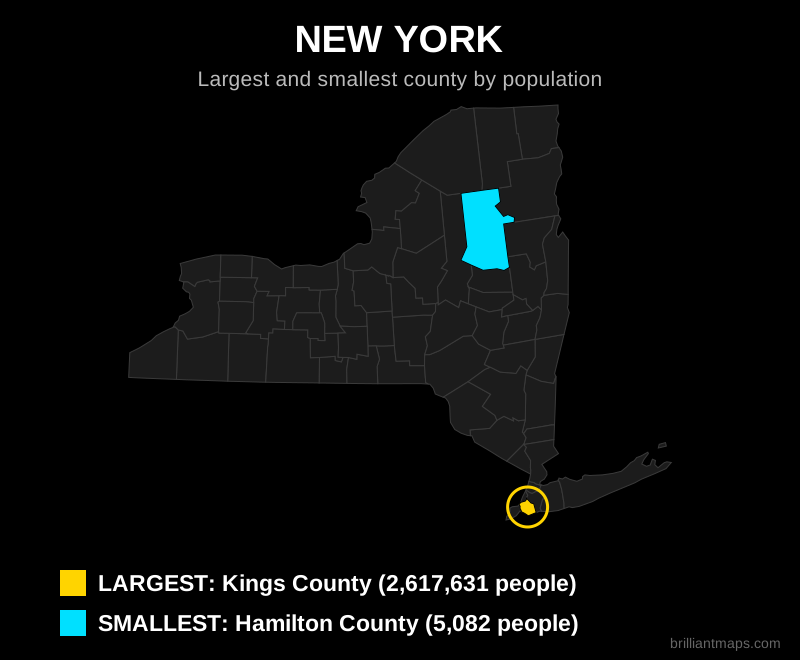
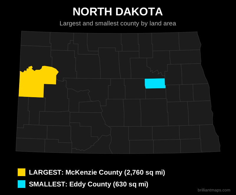
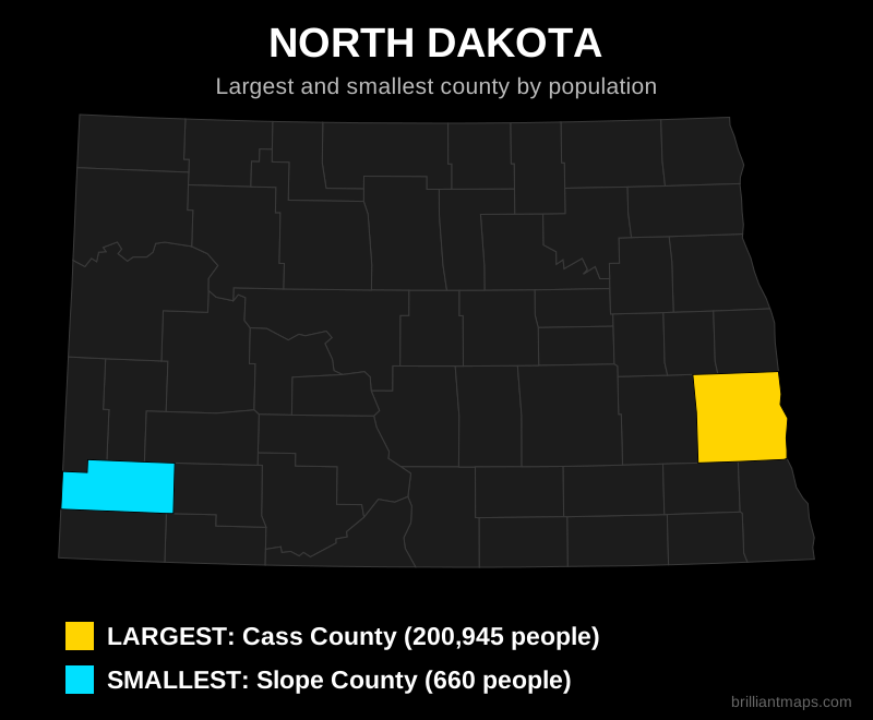
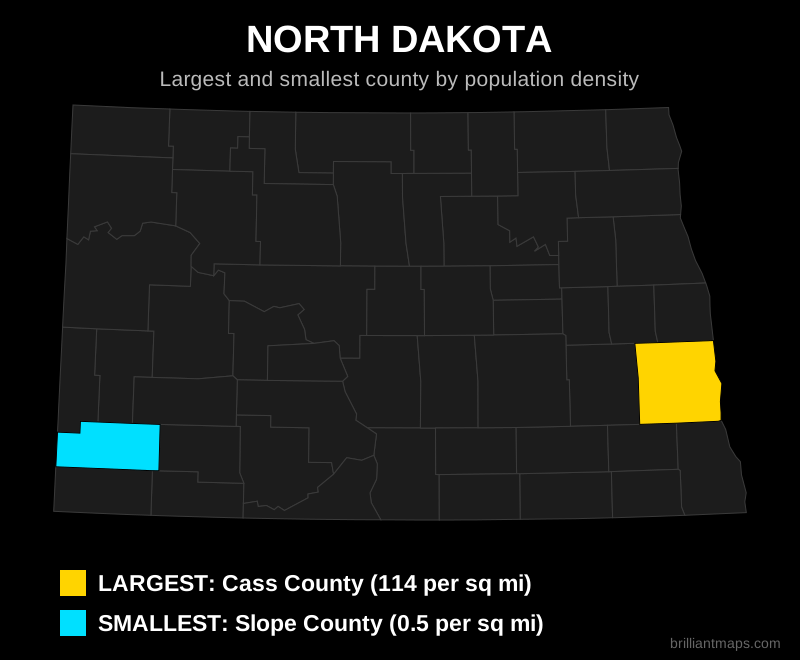
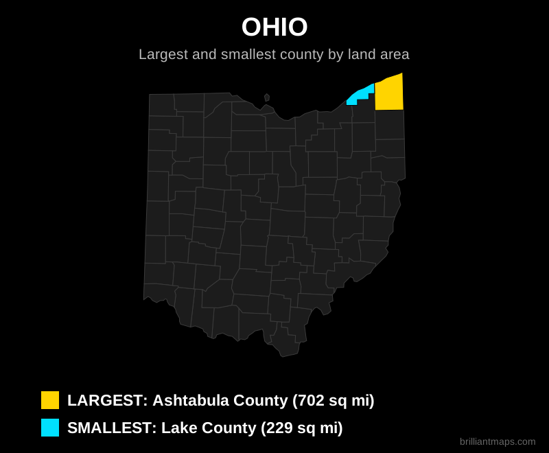
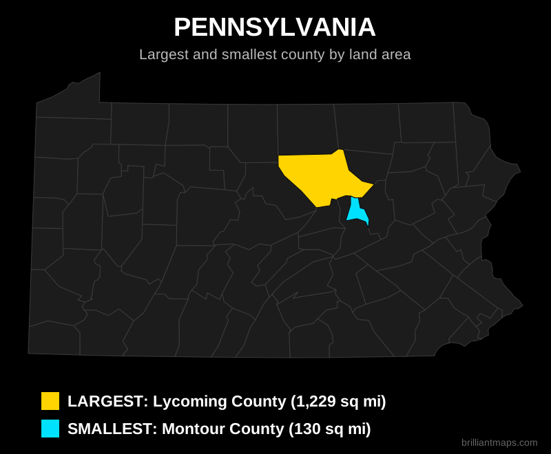
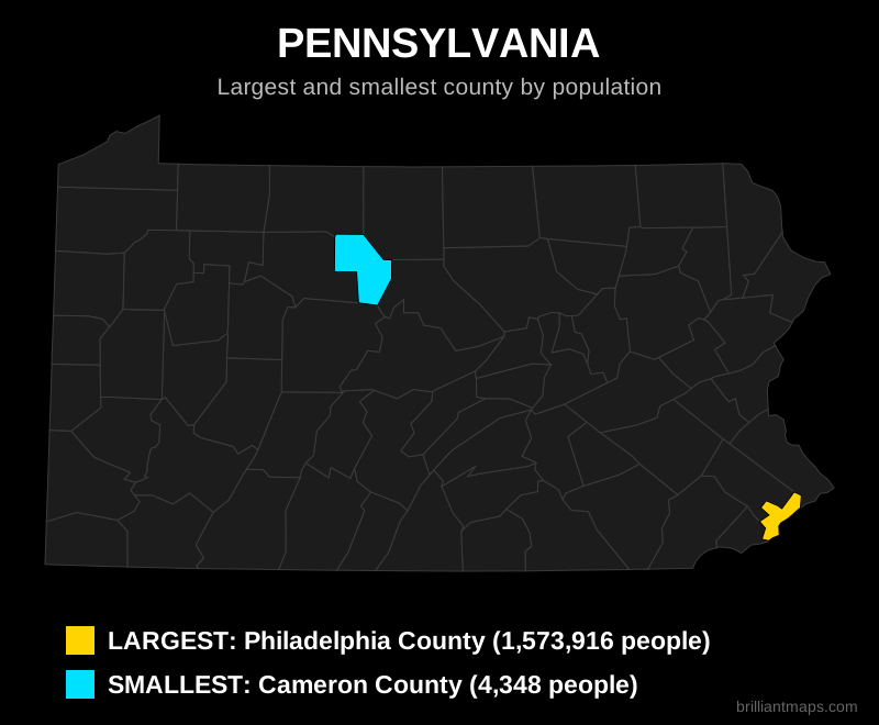
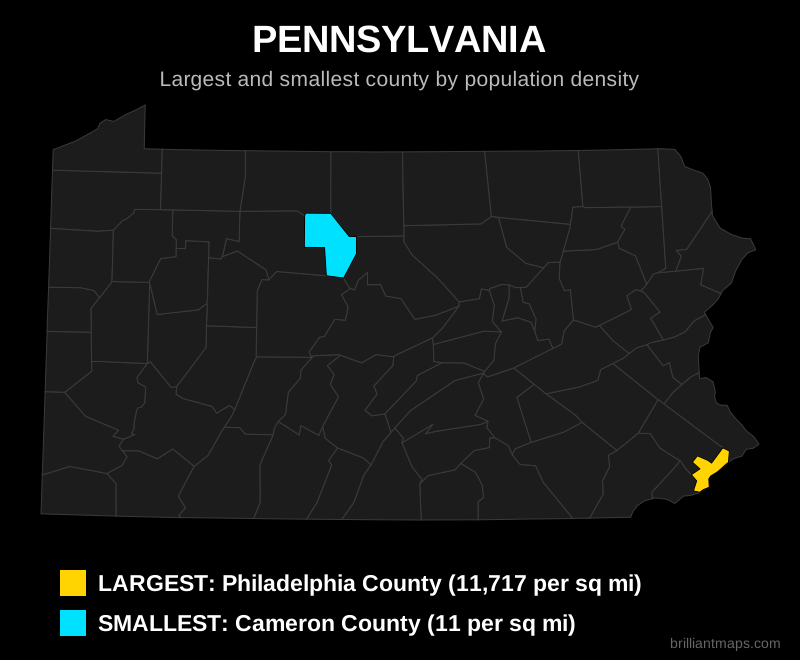
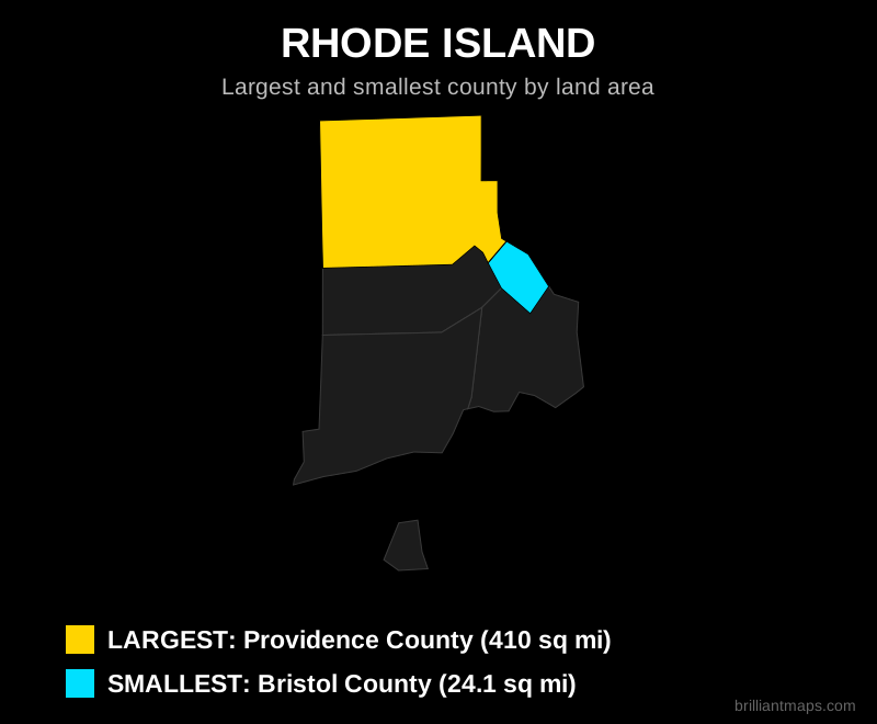
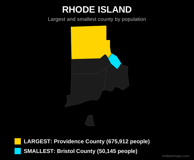
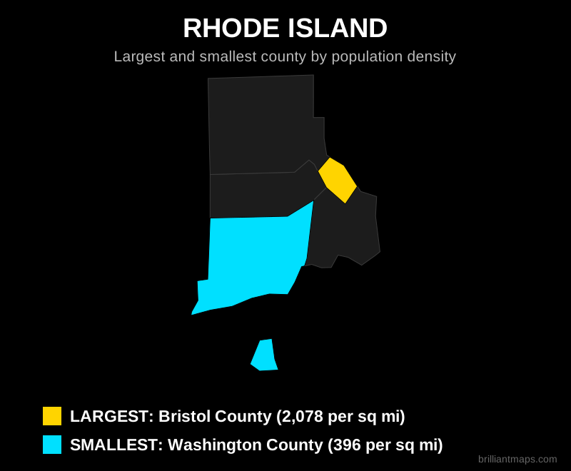
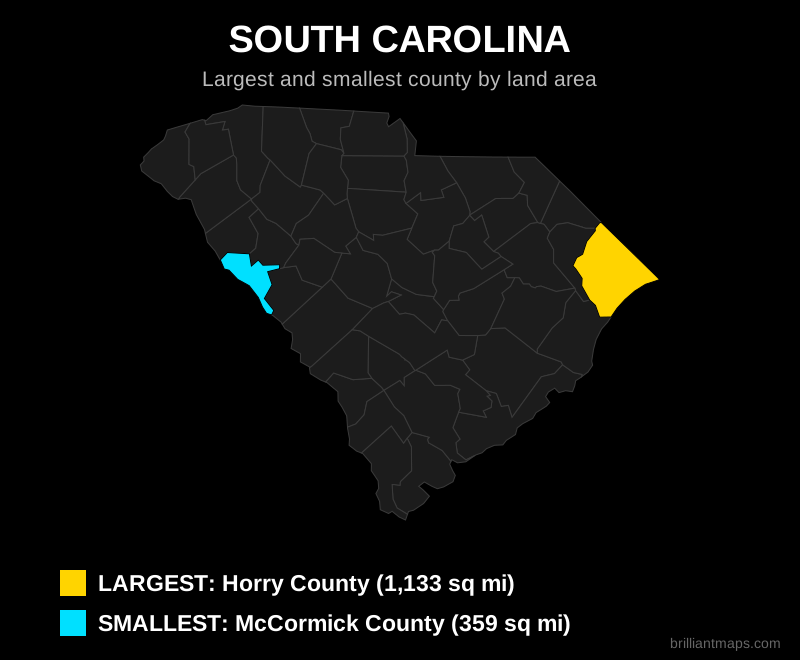
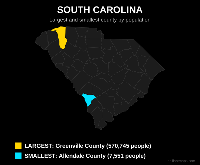
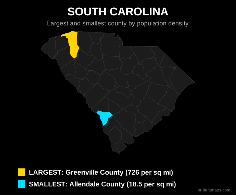
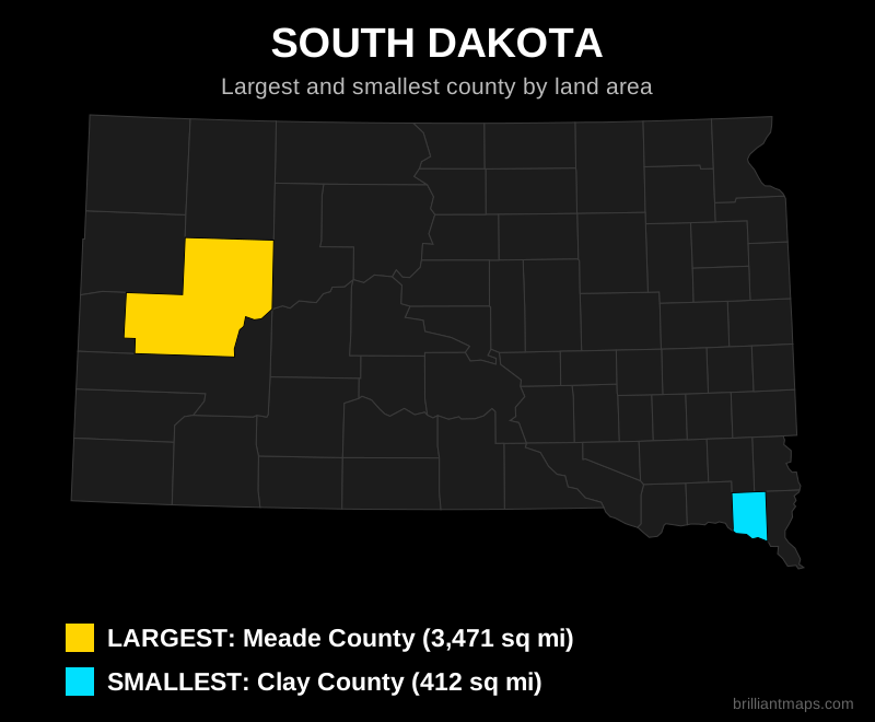
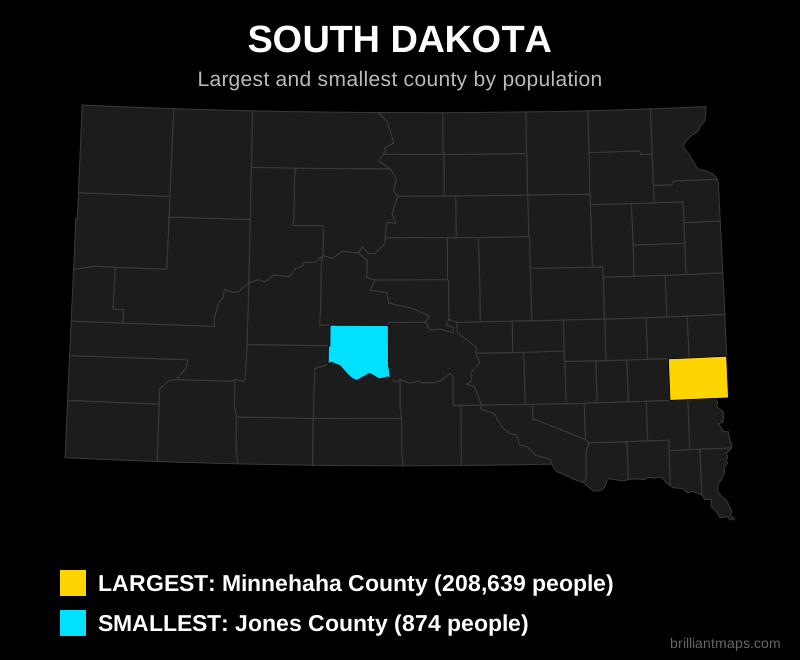
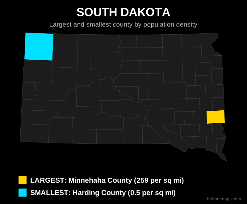
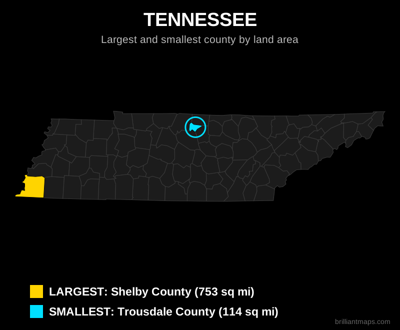
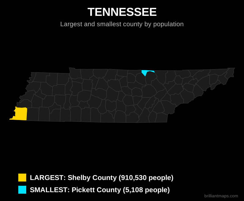
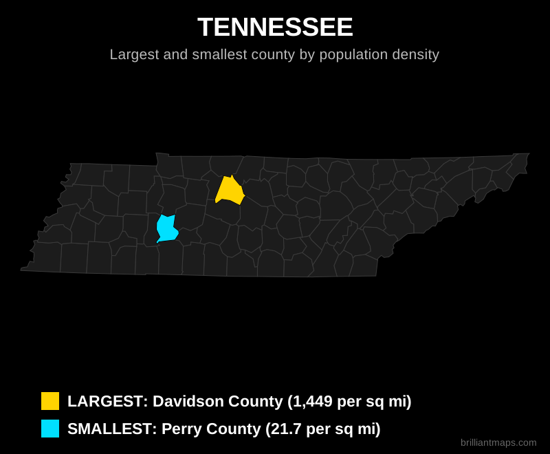
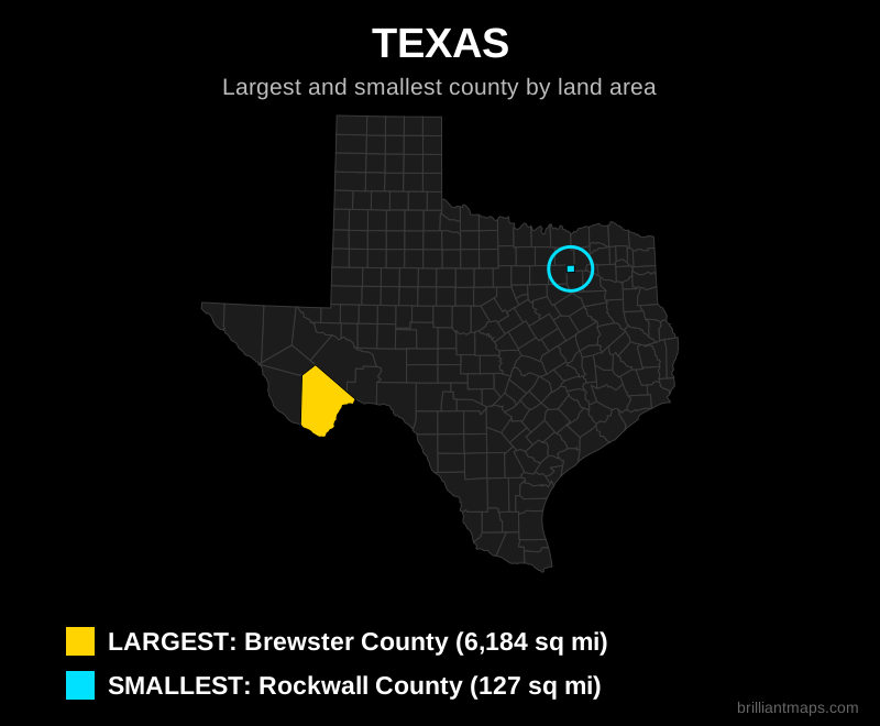
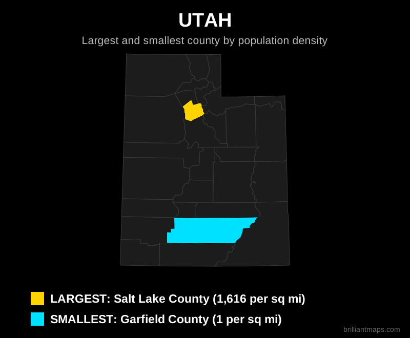
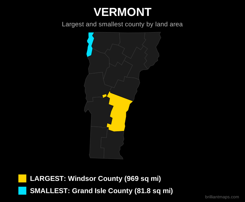
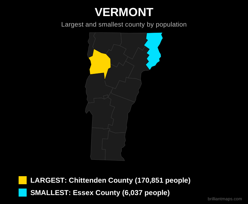
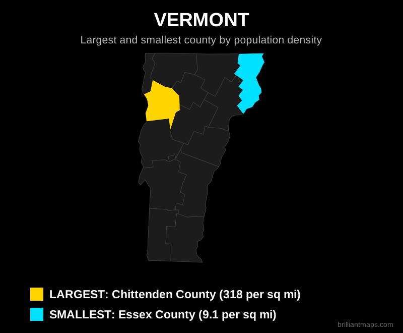
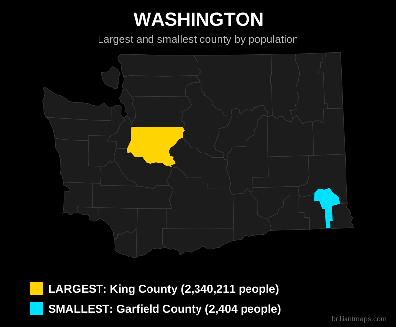
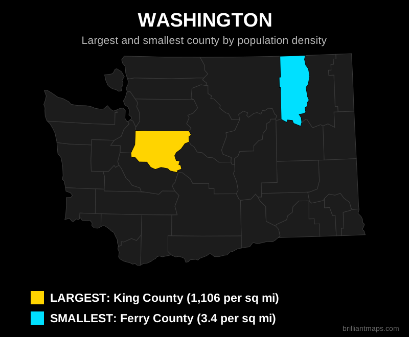
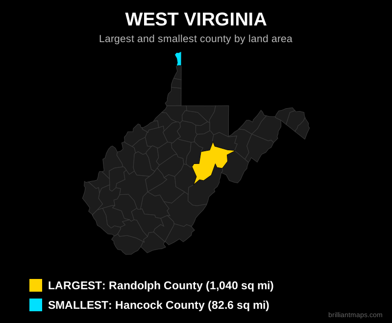
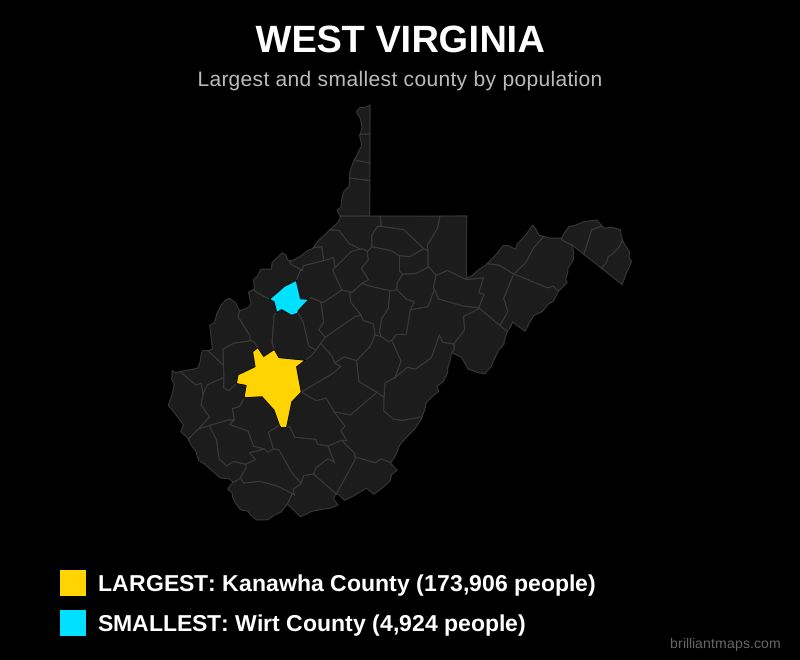
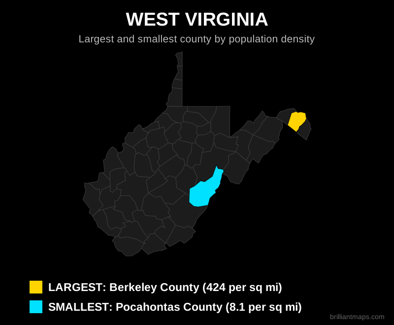
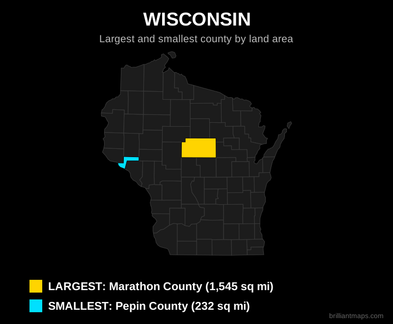
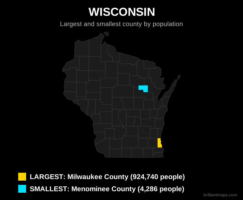
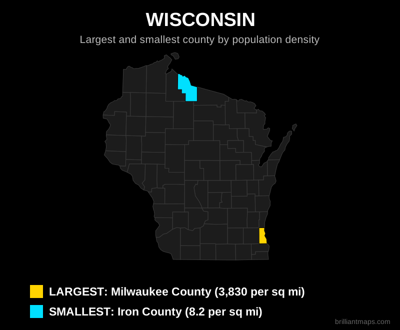
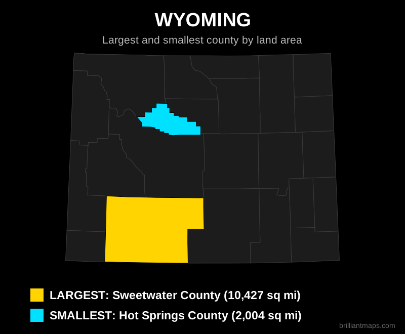
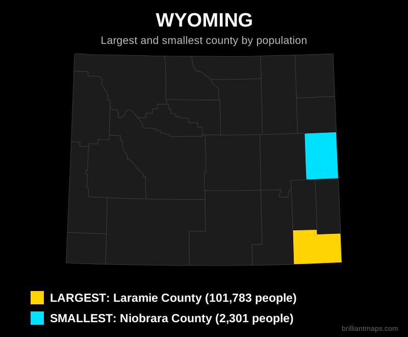
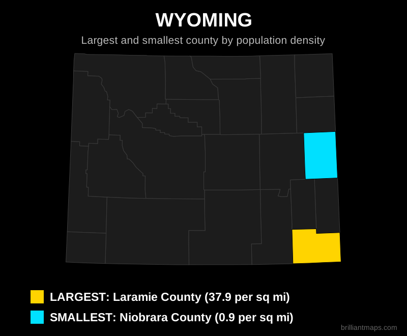
The Largest and Smallest County in Every State
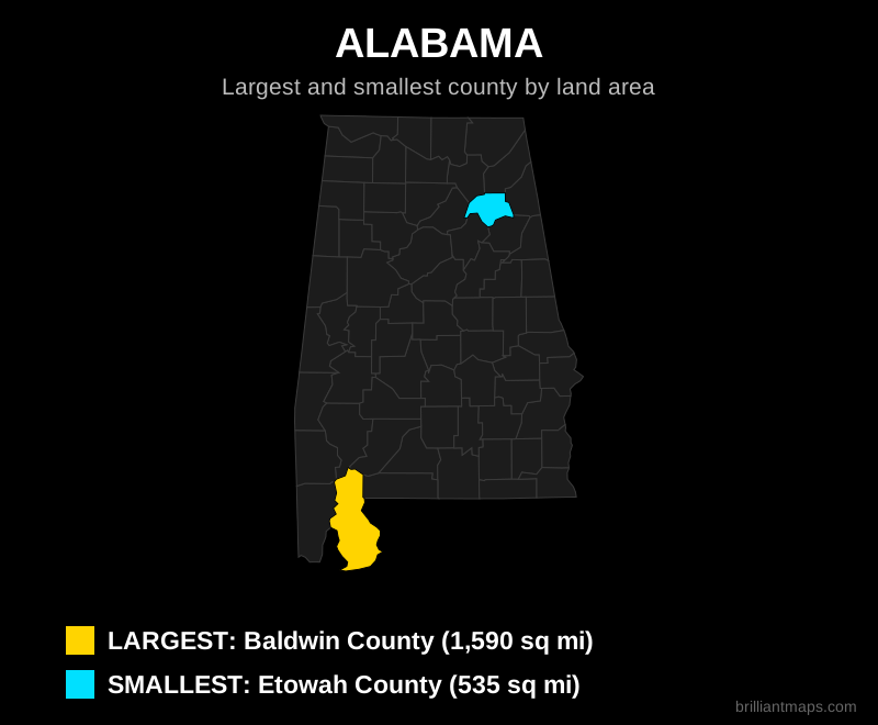
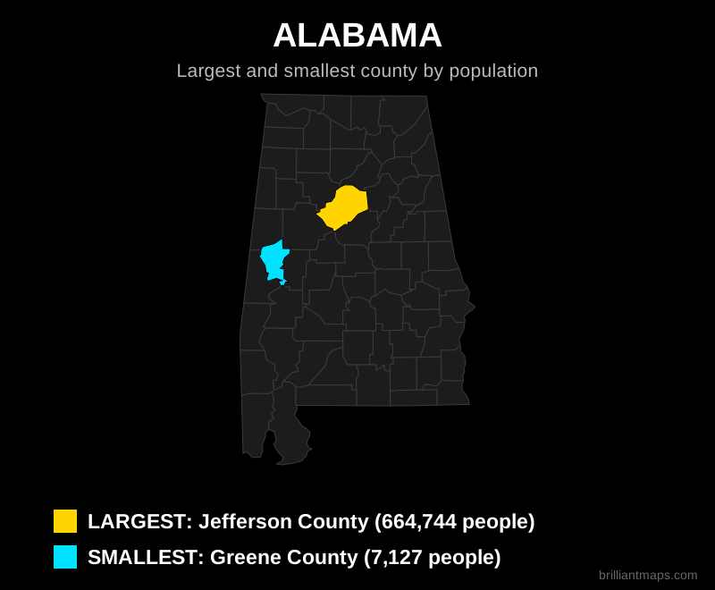
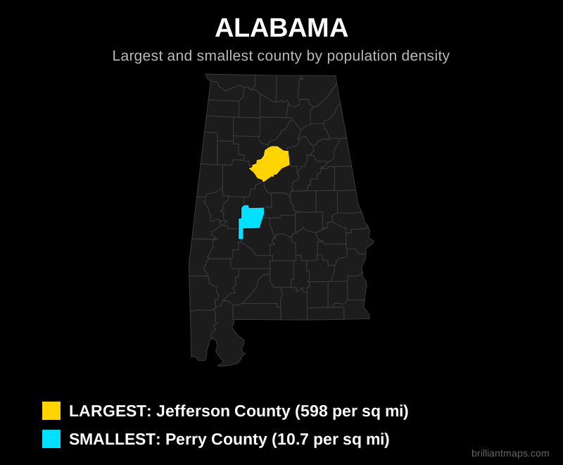
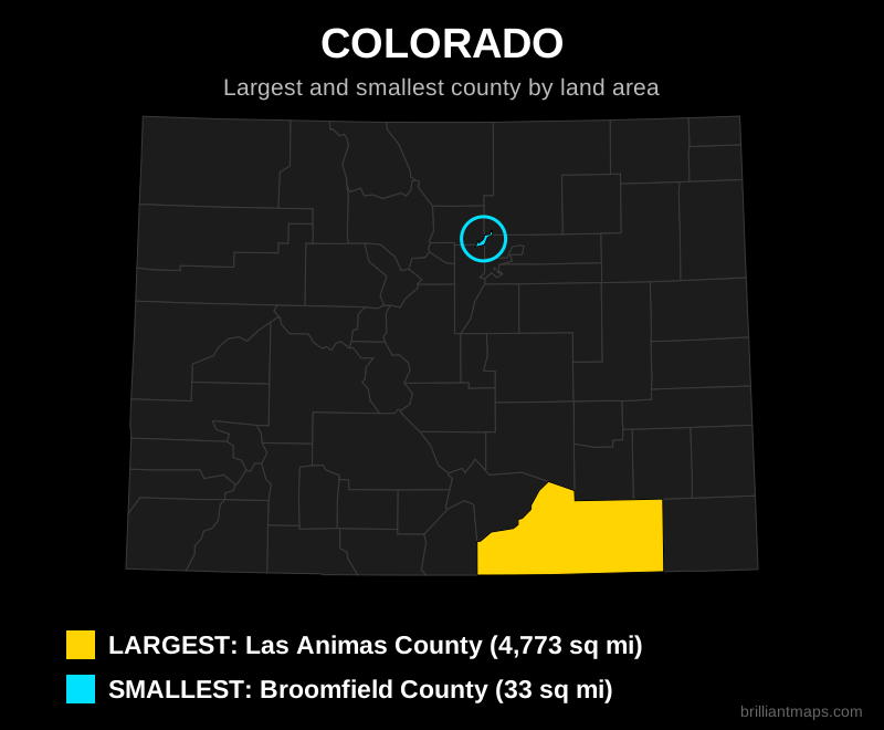
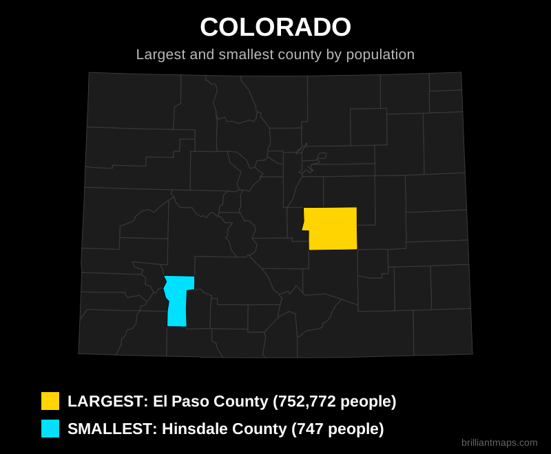
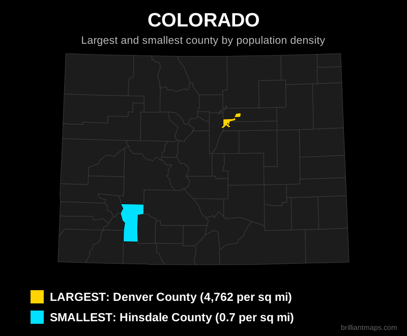
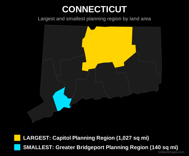
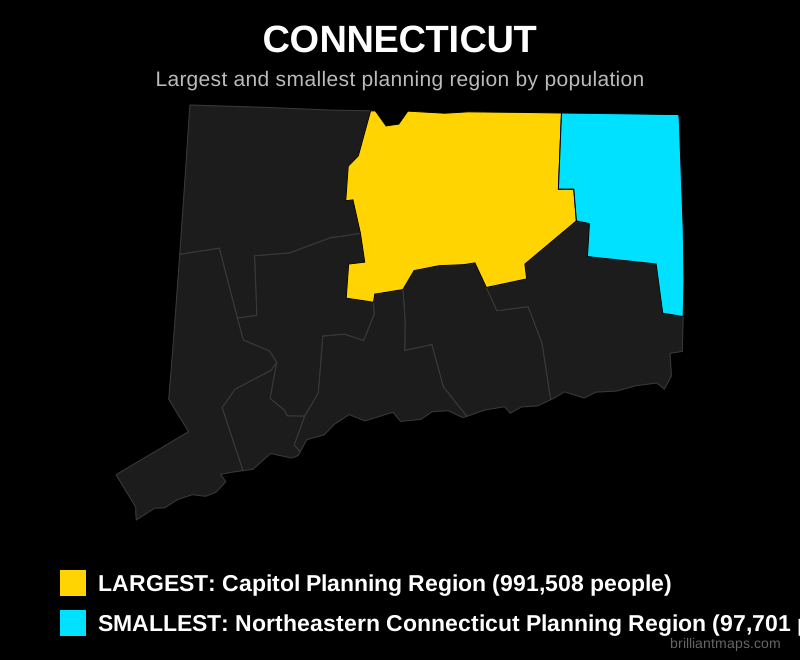
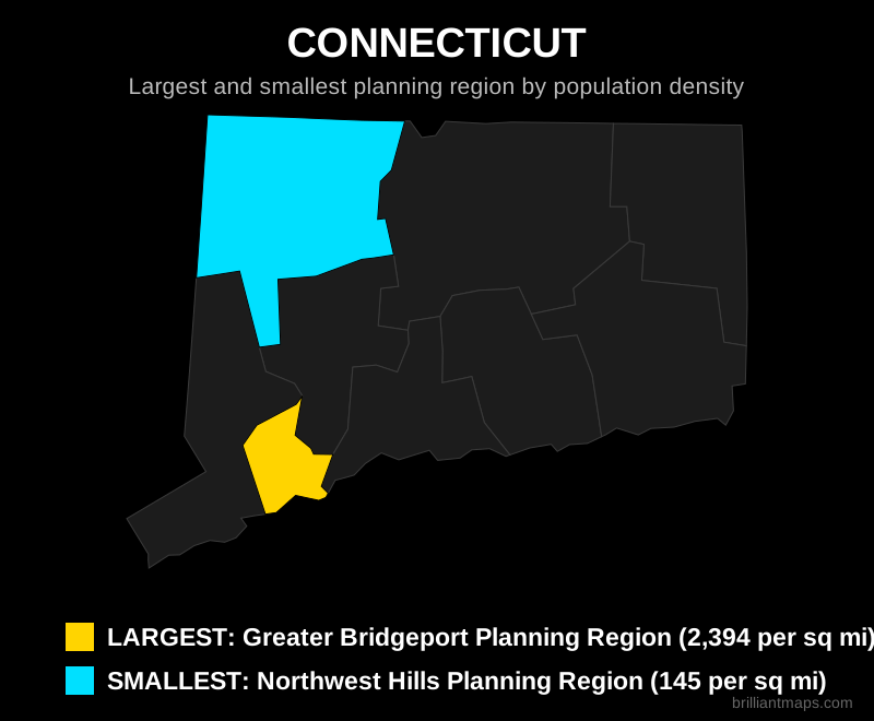
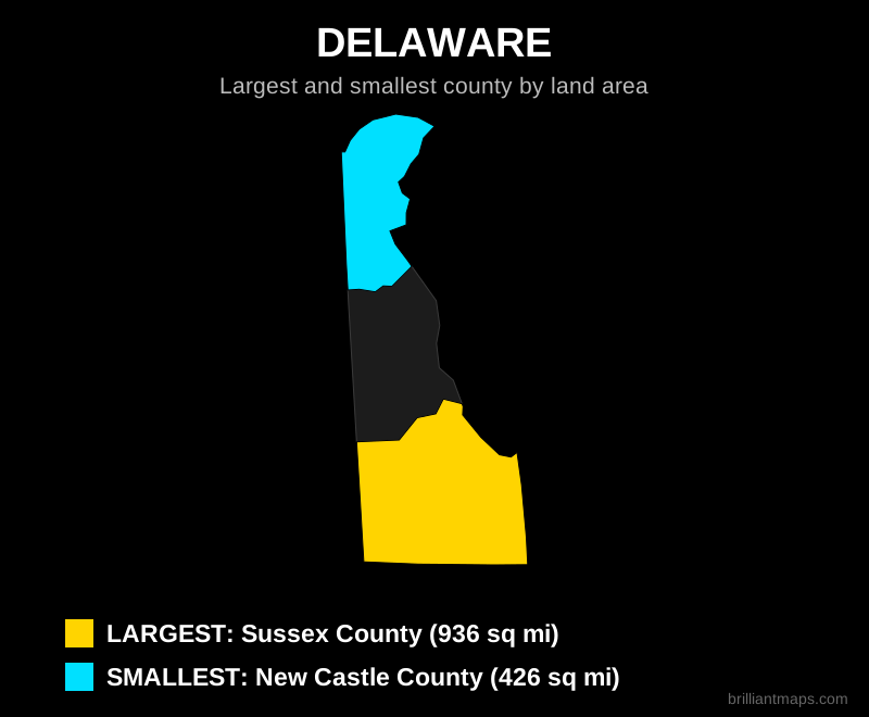
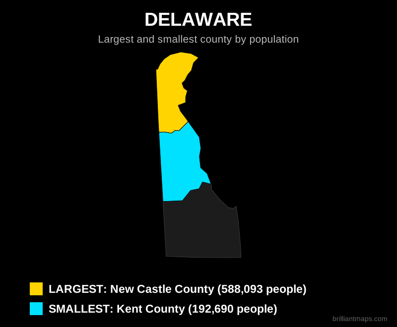
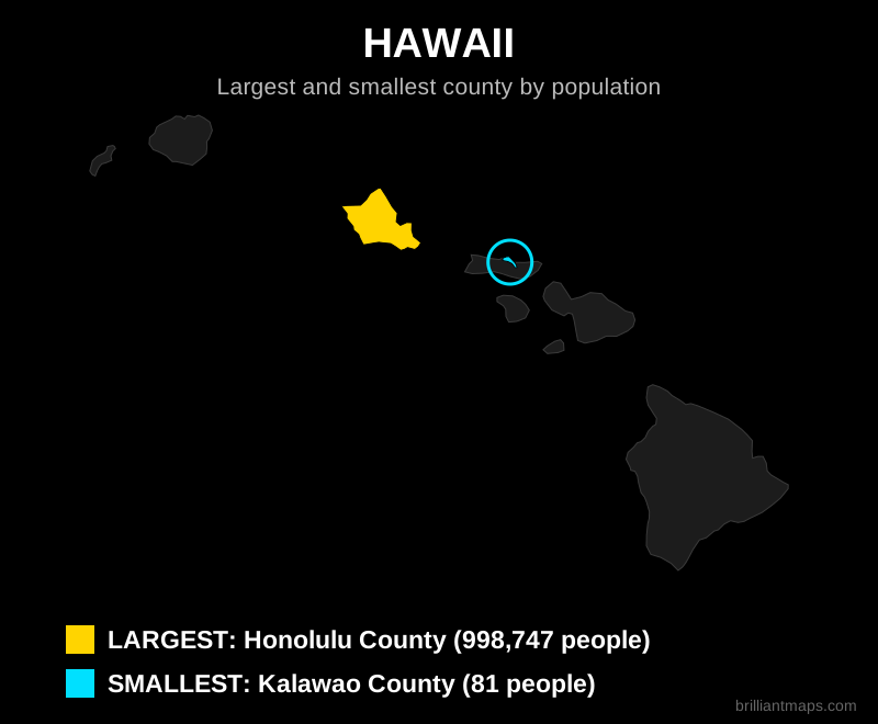
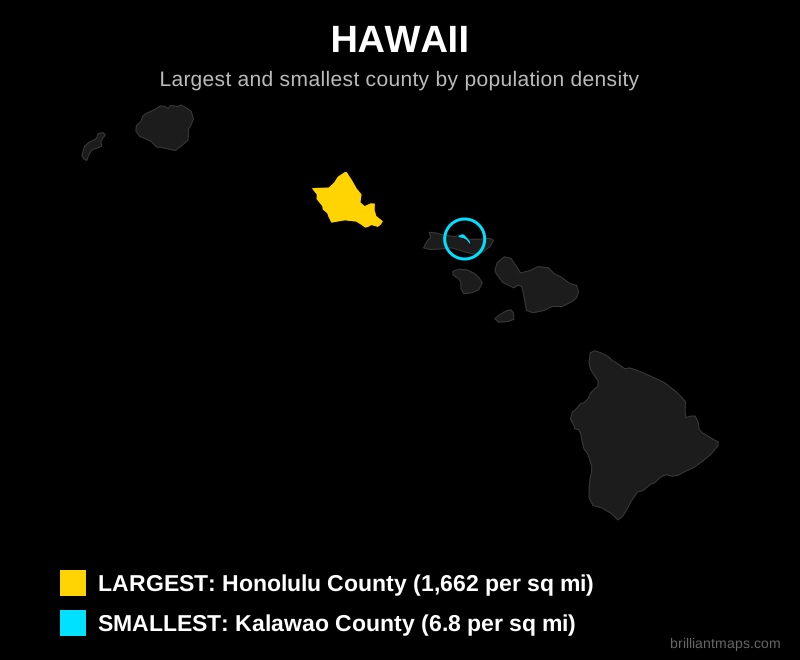
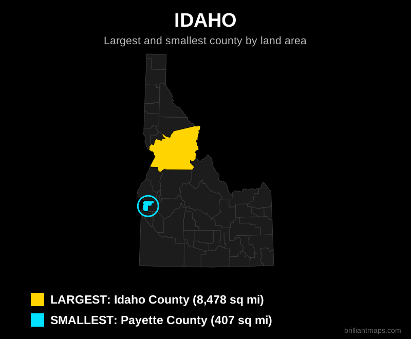
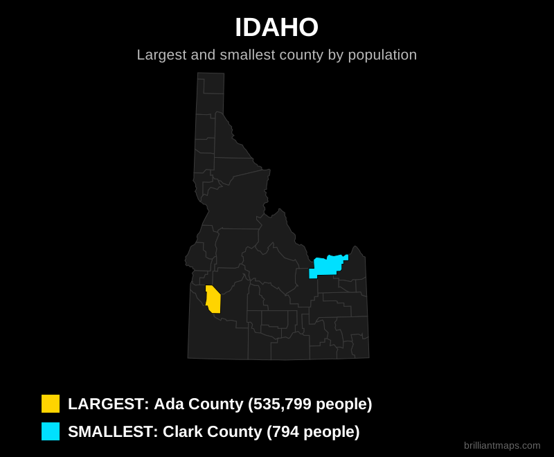
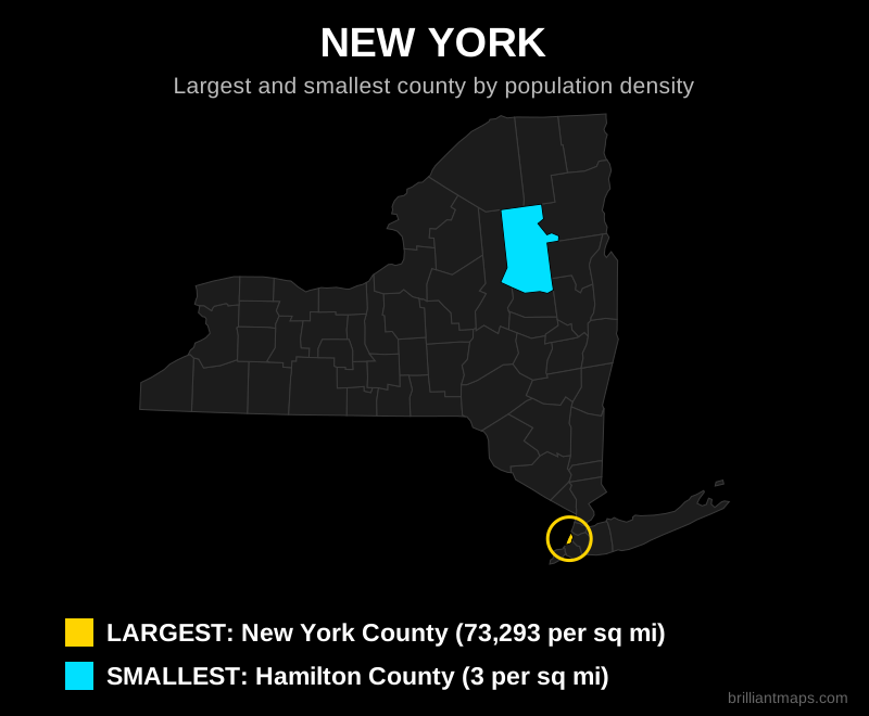
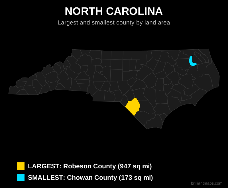
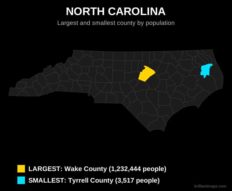
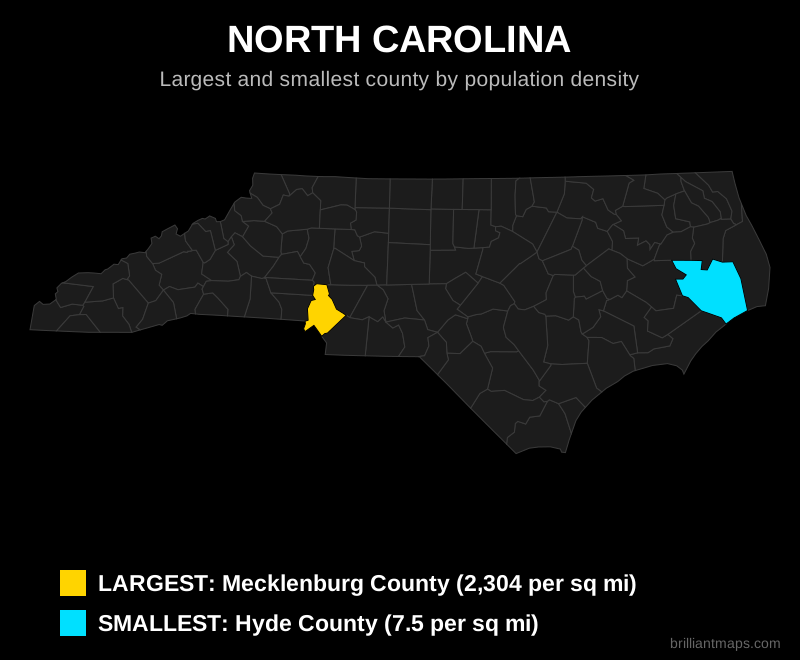
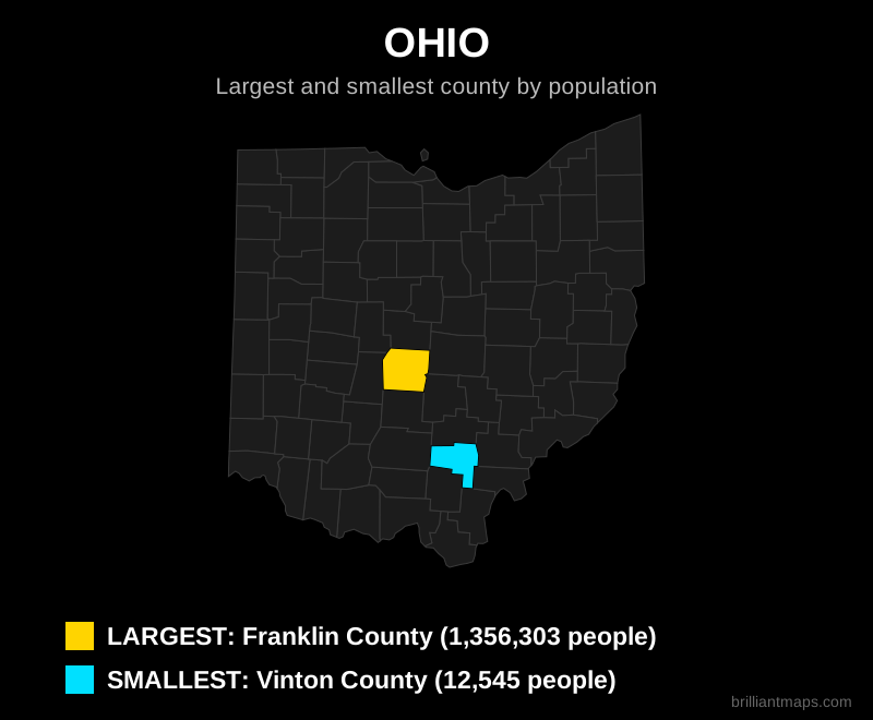
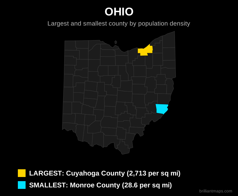
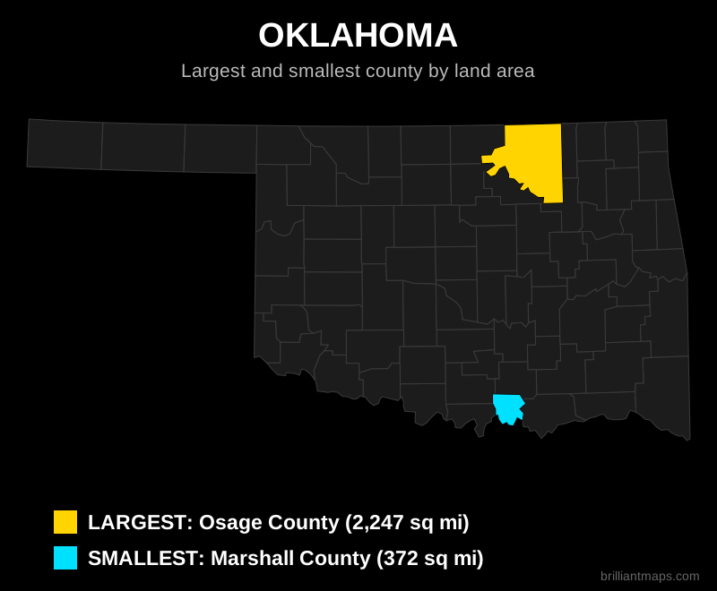
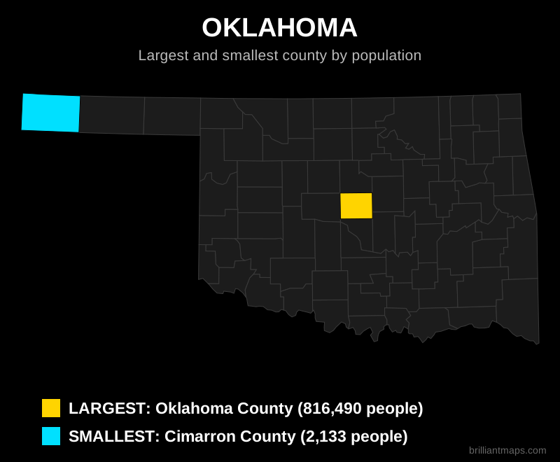
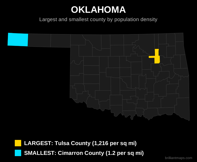
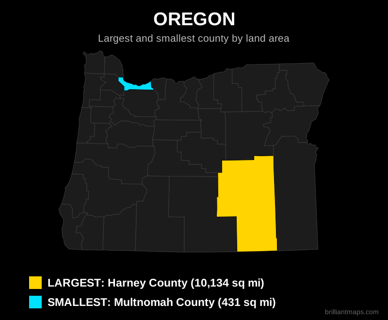
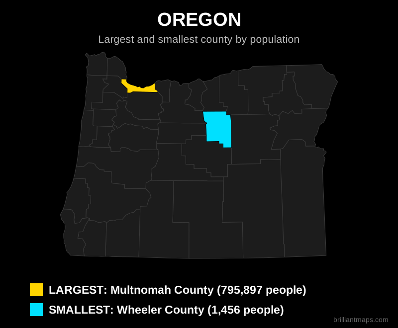
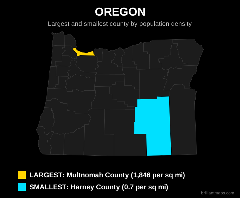
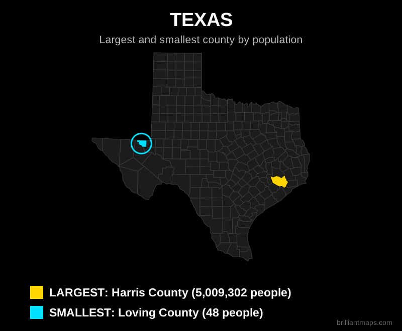
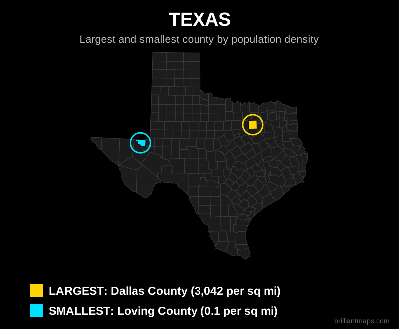
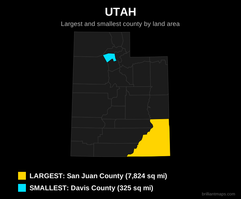
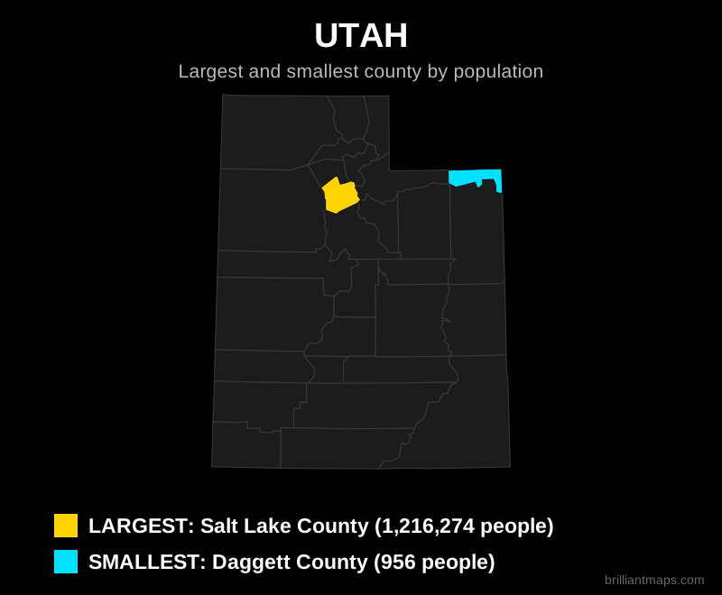
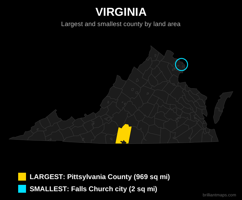
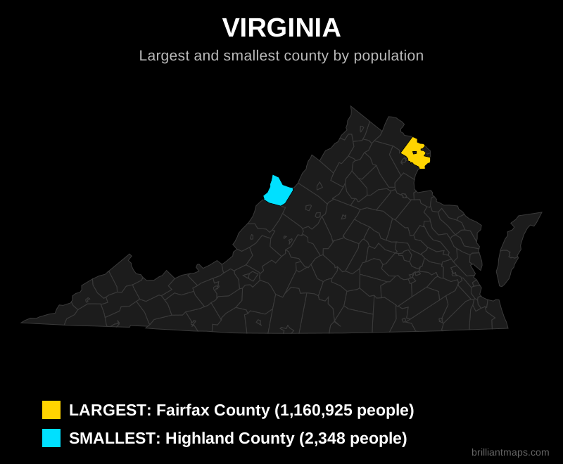
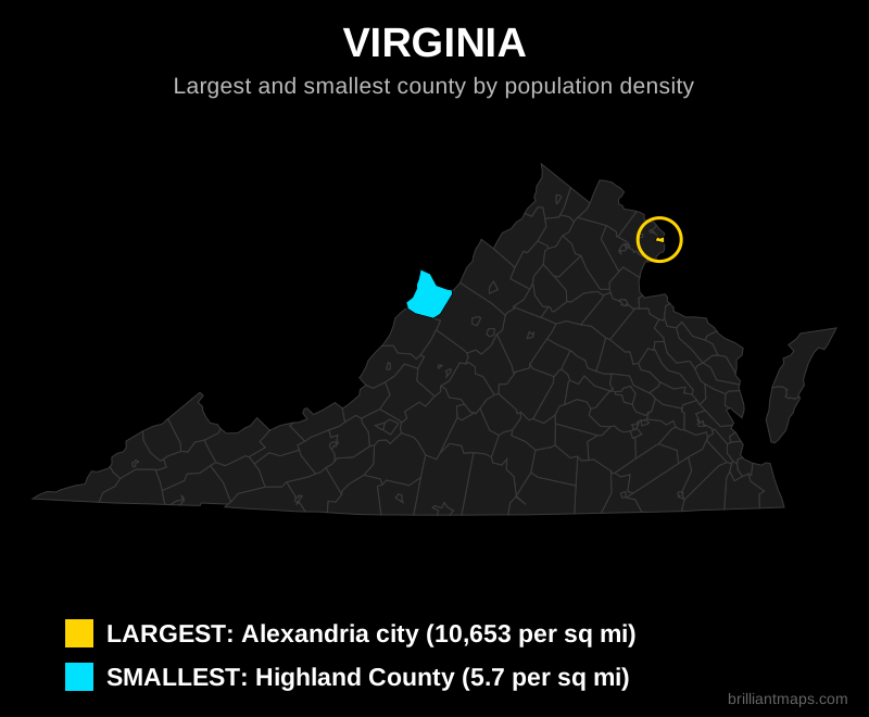
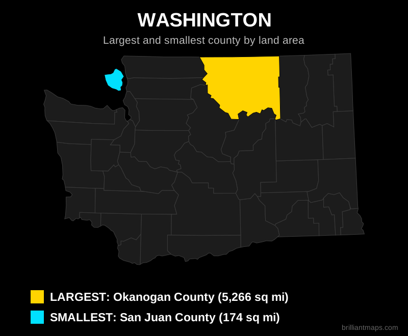
Three maps for each state: the largest and smallest county (parish in Louisiana, borough in Alaska, planning region in Connecticut) by land area, by population, and by population density. The largest is shown in yellow and the smallest in cyan. Very small counties are circled so they are easy to spot. The District of Columbia is a single county equivalent, so it has no maps.
Data Sources and Notes
Land areas come from the US Census Bureau 2024 Gazetteer Files and cartographic boundary files. Population figures are the Census Bureau Vintage 2024 Population Estimates (July 1, 2024). Density is calculated as population divided by land area, so water area is excluded. Connecticut figures use the nine planning regions that officially replaced its counties in Census data. This page is for general reference and educational purposes.