Brilliant Maps

Making Sense Of The World, One Map At A Time

  • BOOK!
  • Newsletter
  • Board Games
  • Posters
  • Scratch Maps

Watercolour & Other Cool Maps of London Created Using Map Stack

August 20, 2015 Leave a Comment

Watercolour map of London

Watercolour map of London showing buildings created using Map Stack

If you’ve never used Map Stack you should. Like right now! It’s a map lover’s dream tool for creating brilliant maps in only a matter of minutes.

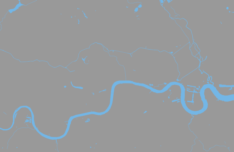
You can use it to create really cool maps like the London watercolour map above or the maps of just London’s parks or just London’s water below.

The tool allows you to add up to 5 layers on base templates such as toner (think 1980’s dot matrix printer), watercolour (see above), terrain and satellite. From there you can change everything from colour to brightness to which features (e.g. buildings, water parks) to show.

Map Stack was created by Stamen Design with help from OpenStreetMap and Mapbox.

Want a minimalist designs? How about these:

London just parks

Just London’s Parks

London just water

Just London’s Waterways

Please share this post with anyone you think would enjoy using Map Stack.

Filed Under: London

Leave a Reply Cancel reply

Your email address will not be published. Required fields are marked *

This site uses Akismet to reduce spam. Learn how your comment data is processed.


World Atlas · Settlers of Catan · Risk · Game of Thrones · Coloring Books · Globes
Monopoly · Star Wars · Game of Life · Pandemic · Ticket To Ride · Drinks Cabinets
Copyright © 2023 · Privacy Policy · Fair Use, Attribution & Copyright · Contact Us
Follow Us: E-mail · Twitter · Facebook · Pinterest · Flipboard