
Chris Durso and his 8 year-old son have created a punny series maps collectively titled The Foodnited States of America.
Each map takes one food item that can be worked into the name of the state.
So far they’ve created 25 maps with new ones being released regularly via the Foodiggity.com instagram account.
They’ve completed all the states and better yet you can buy them all on their website here.
While not all the states are created from a food item you’d associate with them, they’re all quite clever.
Below are the ones for each state:
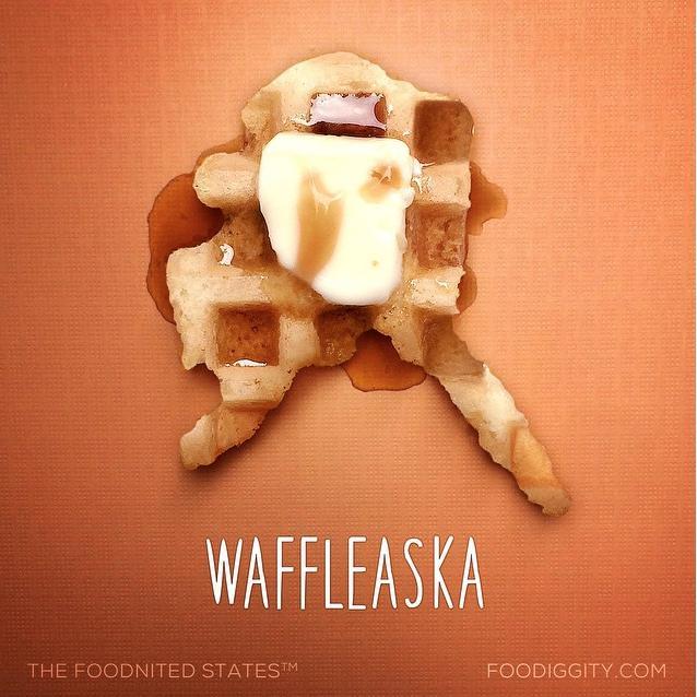
Waffleaska (Alaska)
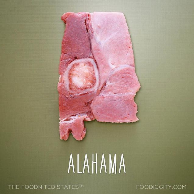
Alahama (Alabama)
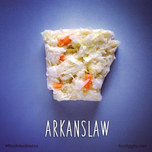
Arkanslaw (Arkansas)
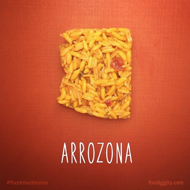
Arrozona (Arizona)
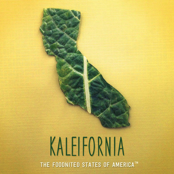
Kaleifornia (California)
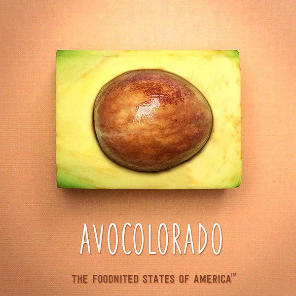
Avocolorado (Colorado)
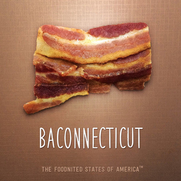
Baconnecticut (Connecticut)
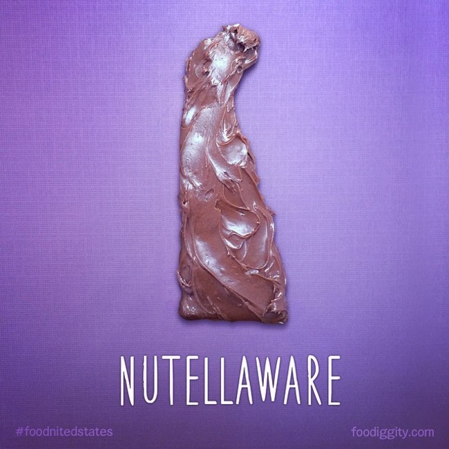
Nutellaware (Delaware)
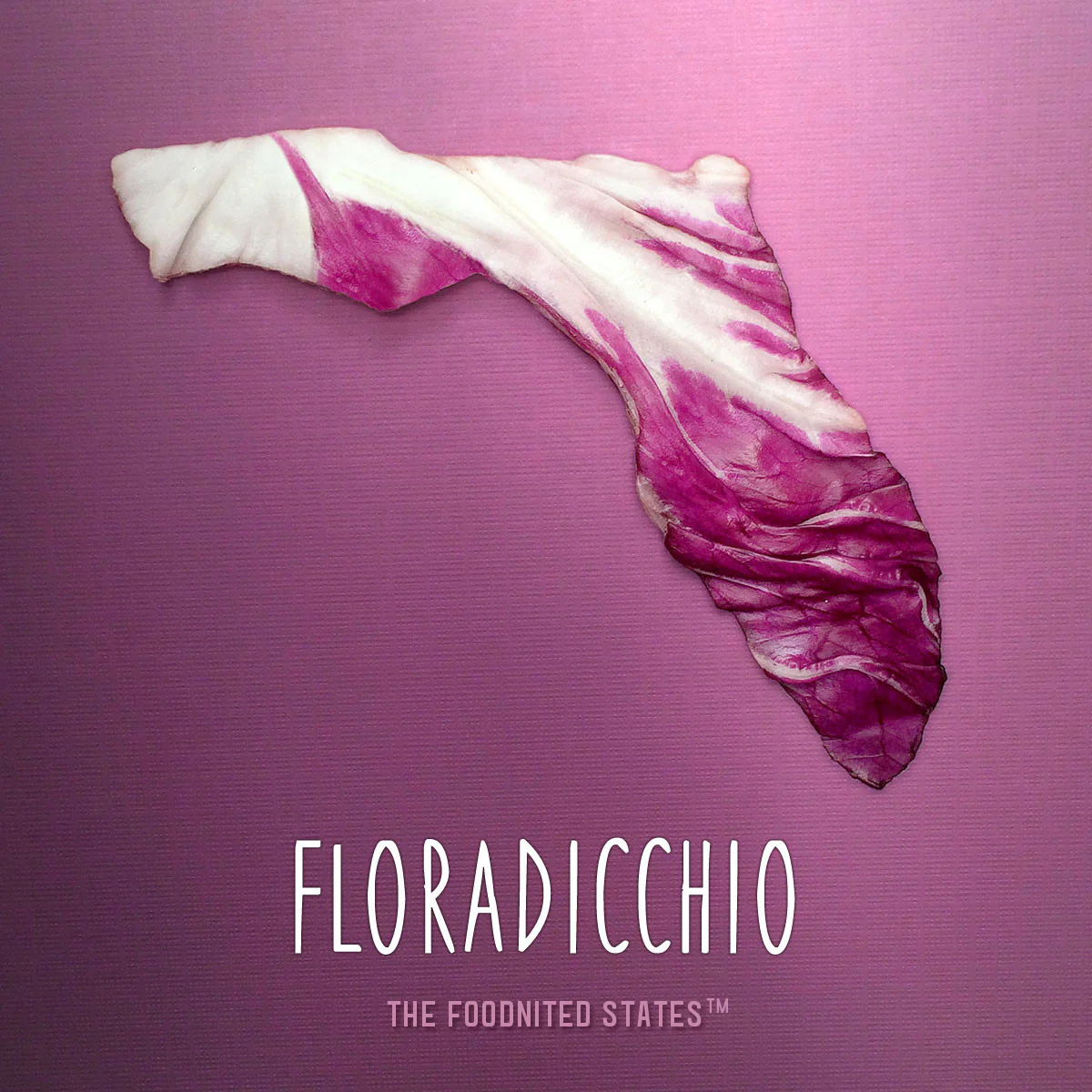
Floradicchio (Florida)
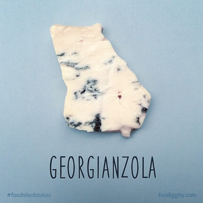
Georgianzola (Georgia)
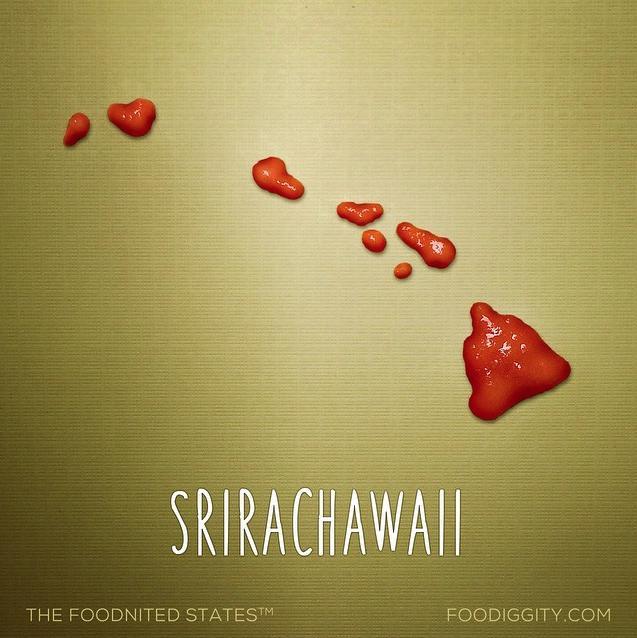
Srirachawaii (Hawaii)
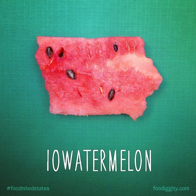
Iowatermelon (Iowa)
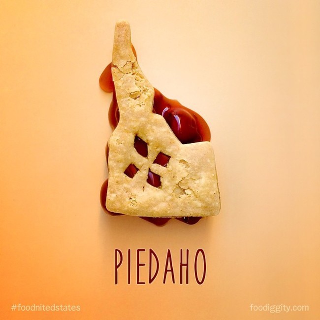
Piedaho (Idaho)
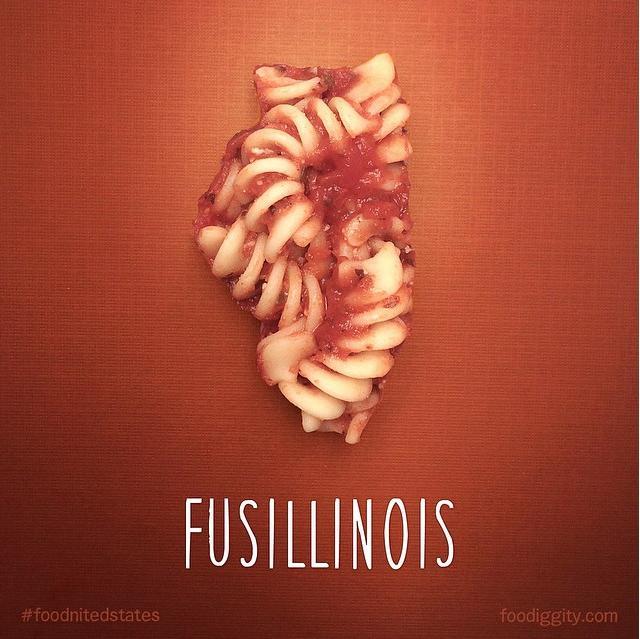
Fusillinois (Illinois)
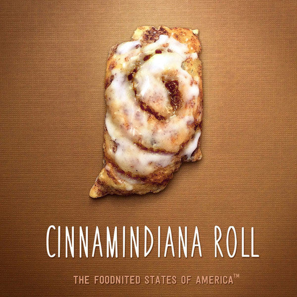
Cinnamindiana Roll (Indiana)
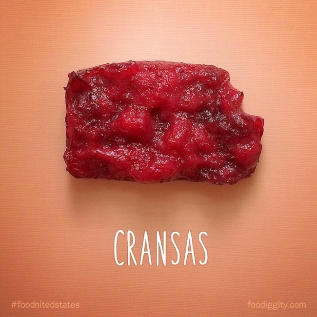
Cransas (Kansas)
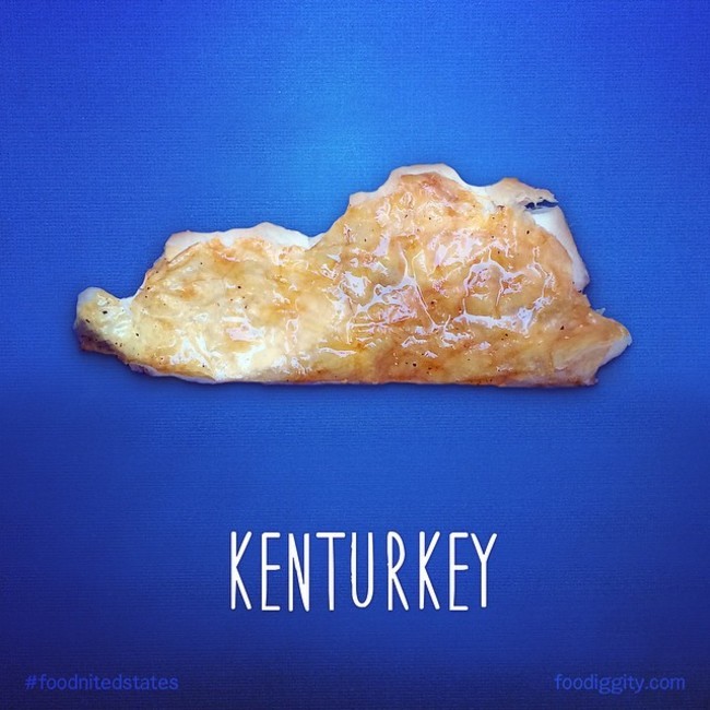
Kenturkey (Kentucky)
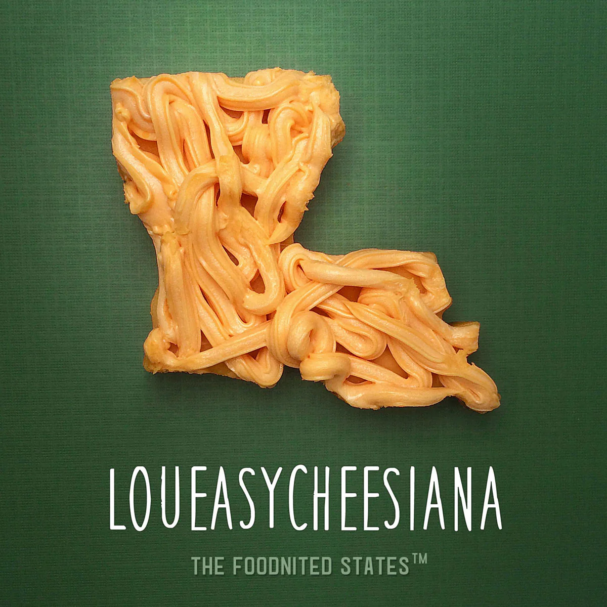
Loueasycheesiana (Louisiana)
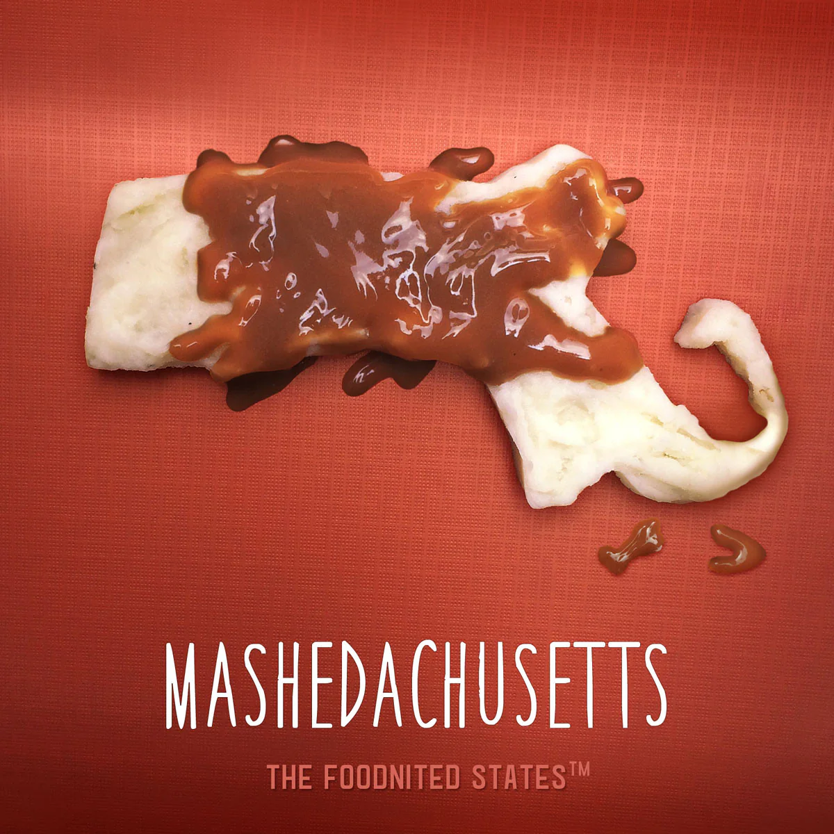
Mashedachusetts (Massachusetts)
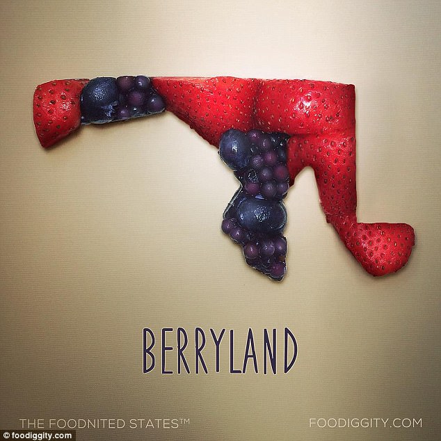
Berryland (Maryland)
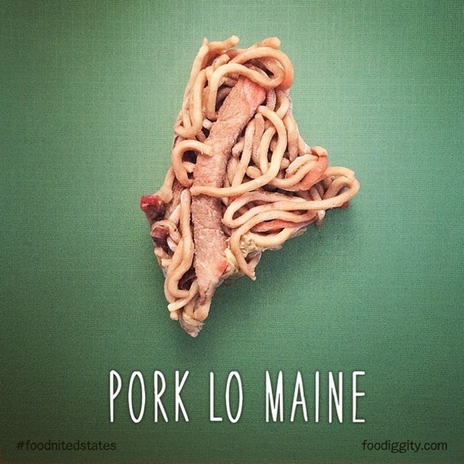
Pork Lo Maine (Maine)
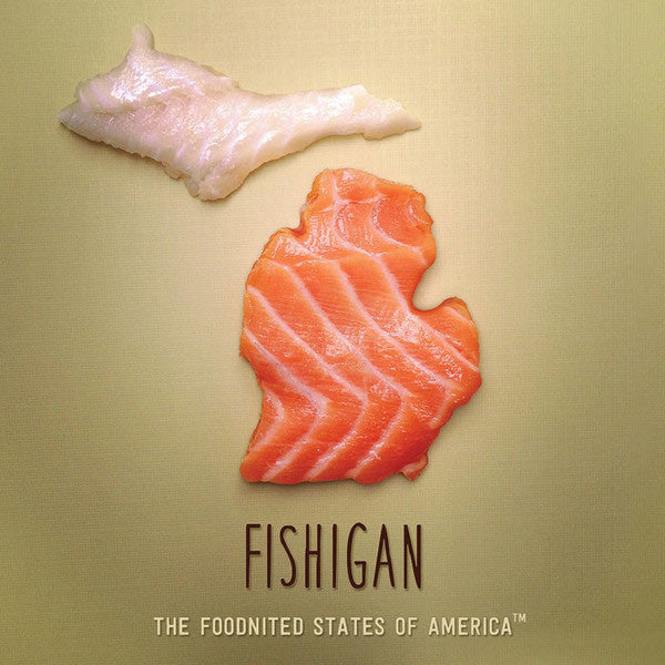
Fishigan (Michigan)
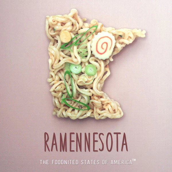
Ramennesota (Minnesota)
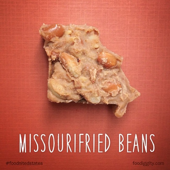
Missourifried Beans (Missouri)
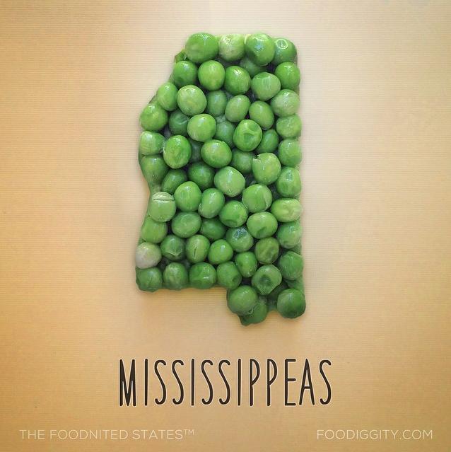
Mississippeas (Mississippi)
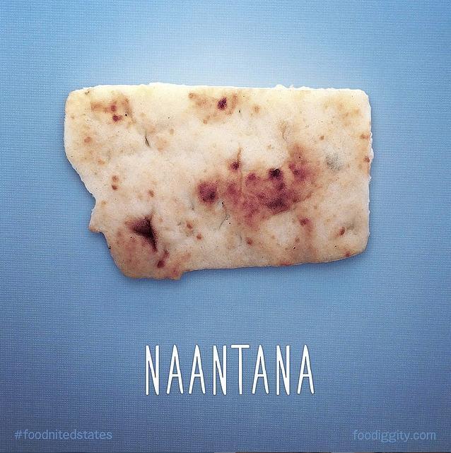
Naantana (Montana)
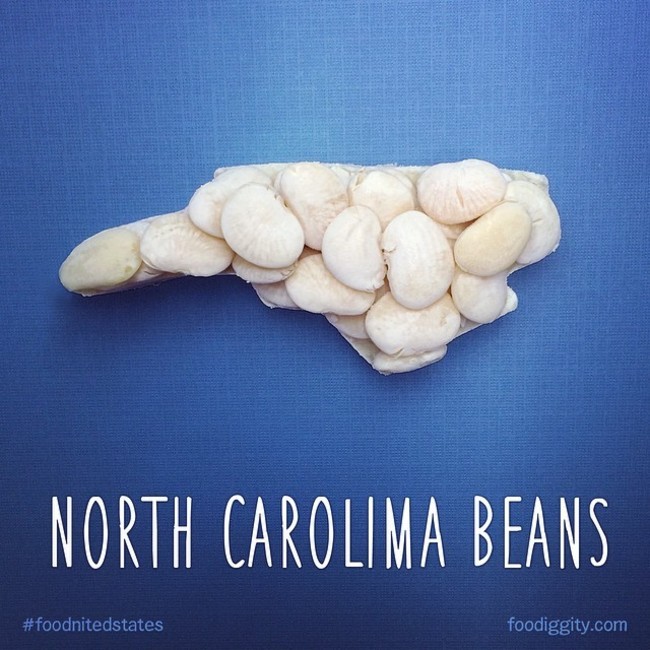
North Carolima Beans (North Carolina)
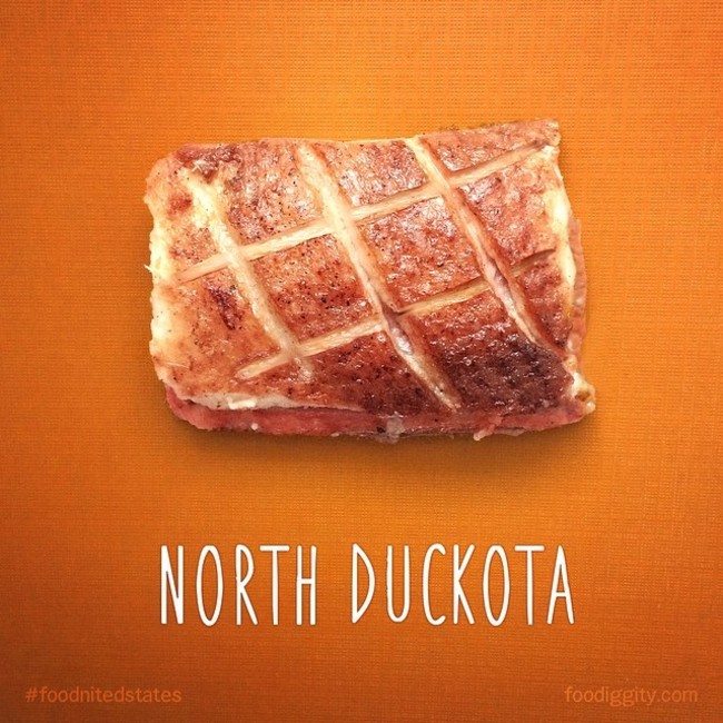
North Duckota (North Dakota)
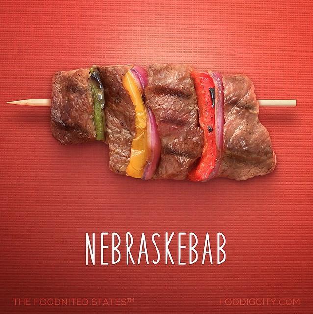
Nebraskebab (Nebraska)
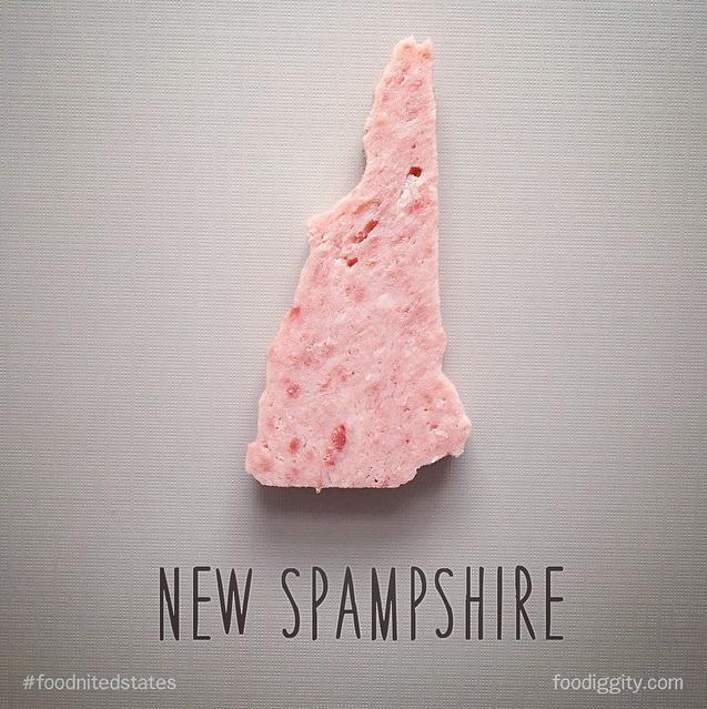
New Spamshire (New Hampshire)
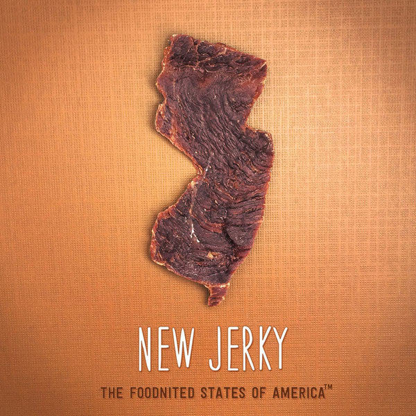
New Jerky (New Jersey)
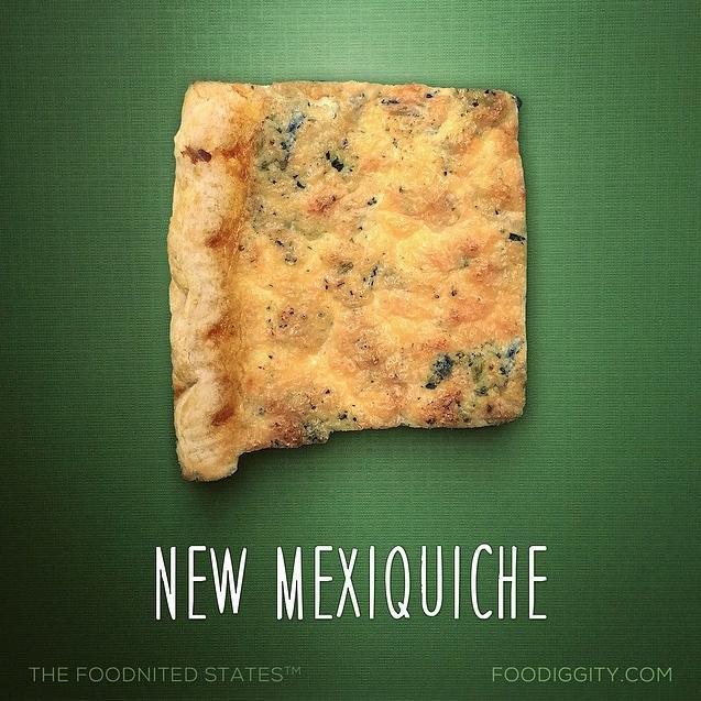
New Mexiquiche (New Mexico)
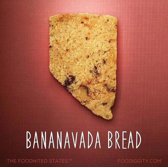
Bananavada Bread (Nevada)
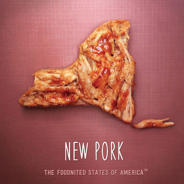
New Pork (New York)
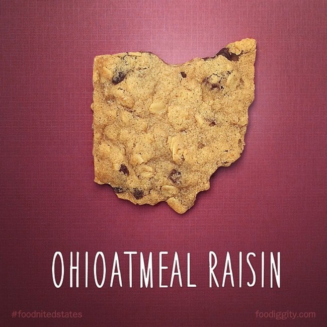
Ohioatmeal Raisin (Ohio)
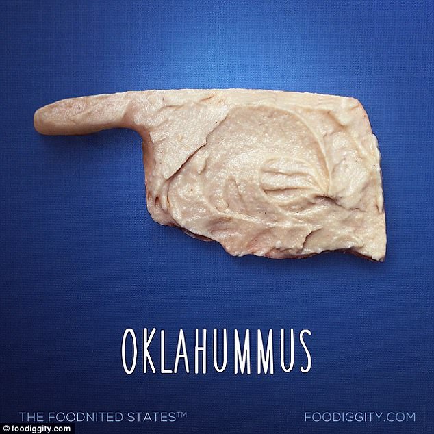
Oklahummus (Oklahoma)
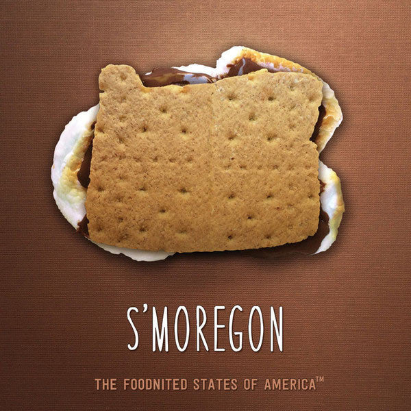
S’moregon (Oregon)
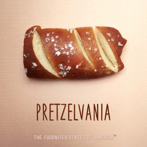
Pretzelvania (Pennsylvania)
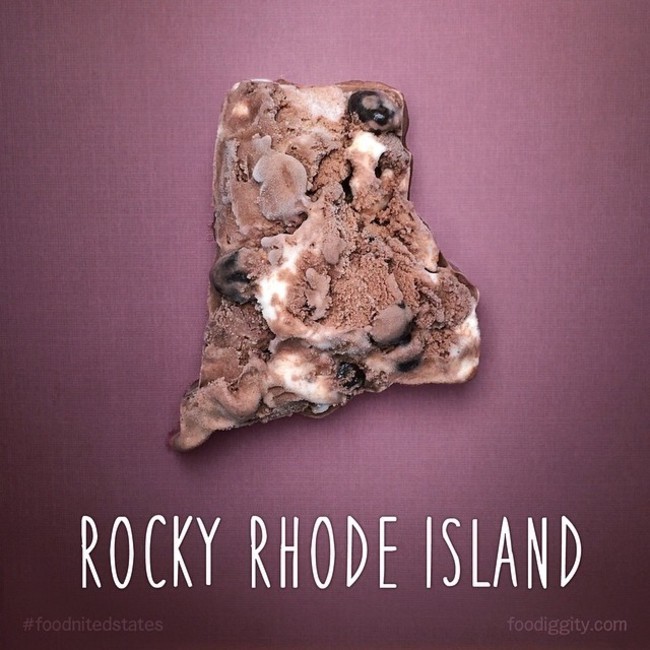
Rocky Rhode Island (Rhode Island)
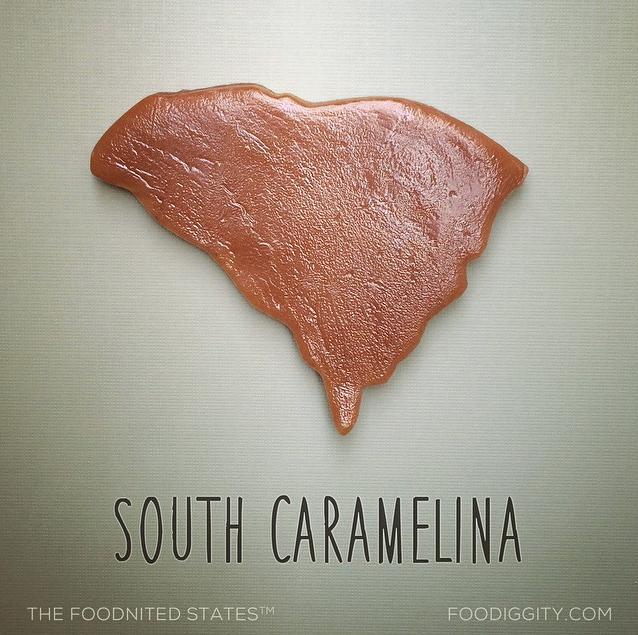
South Caramelina (South Carolina)
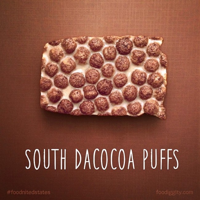
South Dacocoa Puffs (South Dakota)
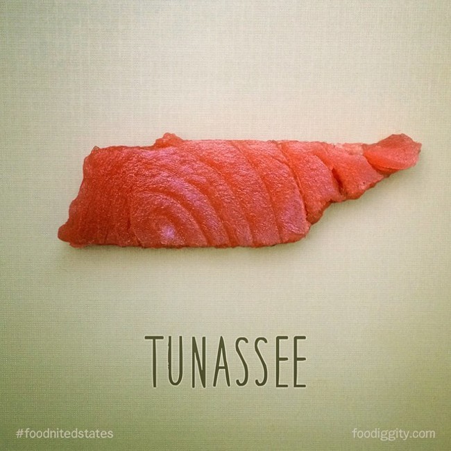
Tunassee (Tennessee)
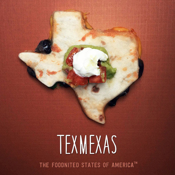
Texmexas (Texas)
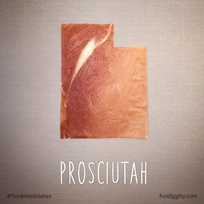
Prosciutah (Utah)
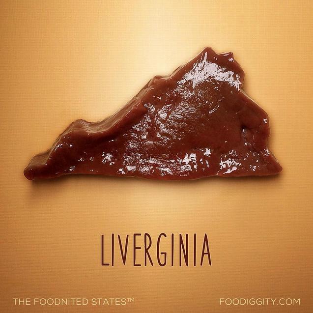
Liverginia (Virginia)
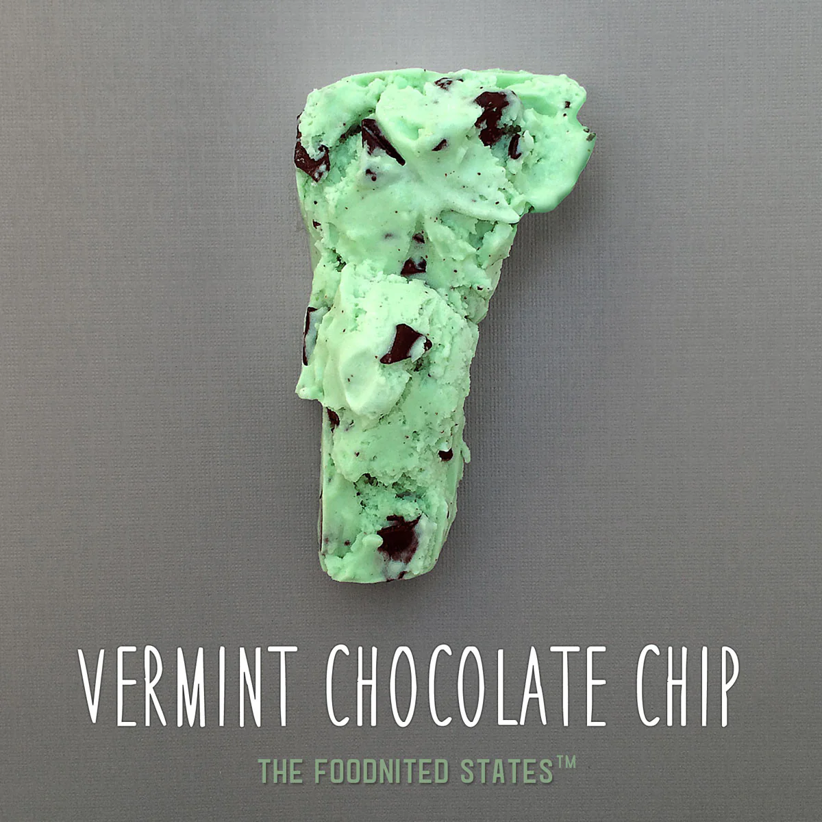
Vermint Chocolate Chip (Vermont)
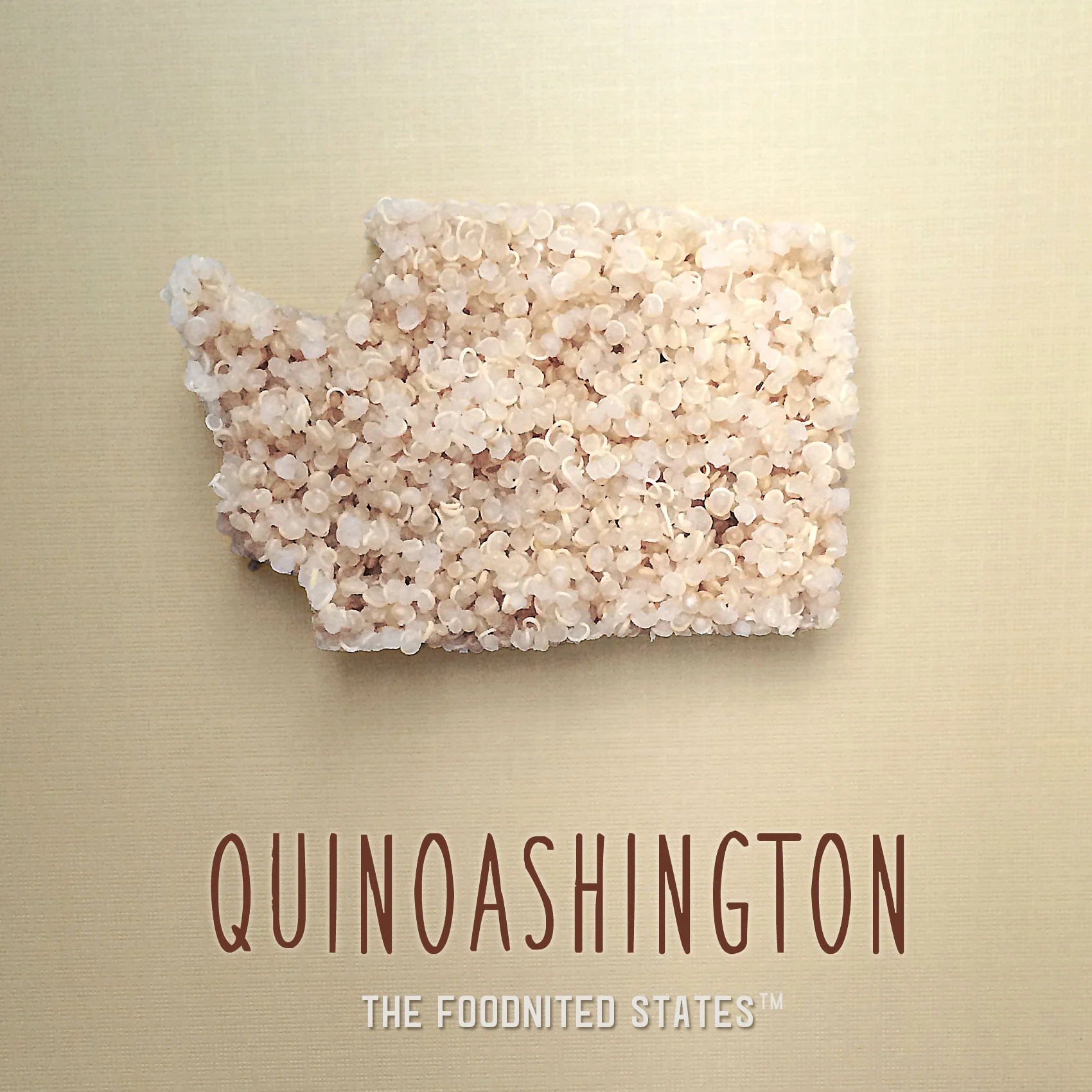
Quinoashington (Washington)
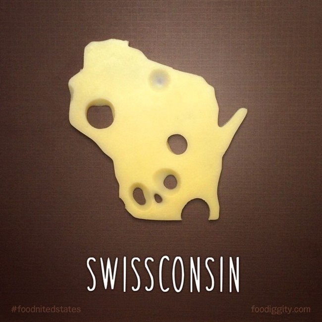
Swissconsin (Wisconsin)
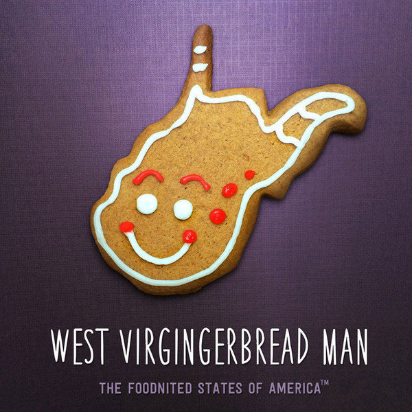
West Virgingerbread Man (West Virginia)
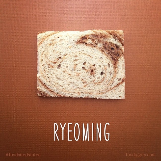
Ryeoming (Wyoming)
Have any ideas of what they should do next? You should let them know via their Twitter account @foodiggity.
Have any other comments, please leave them below:


Spencer Garrett Driggers says
This is so cool!