Brilliant Maps

Making Sense Of The World, One Map At A Time

  • BOOK!
  • Newsletter
  • Games & Quizes
  • Map Based Polls
  • Map Tools

Adam’s Bridge Between India and Sri Lanka Before 1480

Last Updated: March 3, 2023 Leave a Comment

Click To Get My 10 Best Brilliant Maps For Free:

Adam's Bridge aka Rama's Bridge Between India and Sri Lanka Before 1480

Map found via reddit

The map above shows what Adam’s Bridge (aka Rama’s Bridge or Ram Setu) in the Palk Strait might have looked like prior to 1480 when it connected India and Sri Lanka.

In 1480 a cyclone supposedly deepened the channels between India and Sri Lanka, rendering it impassible by foot. However, today some sections are still only between 1 and 10 meters (3 and 30 feet deep) as can be seen in this photo from NASA’s Landsat 7 satellite:

Adam's Bridge as seen from NASA's Landsat 7 satellite

This makes it awkward for shipping, as large boats can not pass between the two countries, forcing them to travel around Sri Lanka. The Palk Straight itself is only 33 miles (53 km) wide at its narrowest point.

Thus, both a man-made bridge connecting the two countries and a shipping canal through the Palk Strait have been proposed in recent years. However, neither have been approved as there are a variety of objections to both plans.

Another controversy is whether the original Adam’s bridge was man-made or not. The Indian government maintains that, “if Lord Rama constructed Ram Setu, he had also destroyed it.”

This is a reference to it’s creation as told in the Hindu epic Ramayana, which you can read from the following sources:

  • The Ramayana: A Shortened Modern Prose Version of the Indian Epic (Penguin Classics)
  • The Ramayana: A Modern Retelling of the Great Indian Epic
  • Ramayana: Divine Loophole

Find this map interesting? Then please share with a friend:

Filed Under: History Tagged With: India, Sri Lanka

Click To Get My 10 Best Brilliant Maps For Free:


Other Popular Maps

  • The Country Behind the Largest Ever Football (Soccer) Defeats for Each Country

    The Country Behind the Largest Ever Football (Soccer) Defeats for Each Country

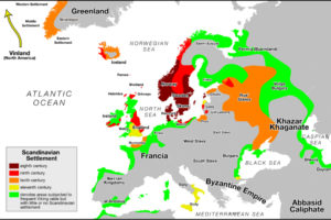
  • Countries That Were Raided Or Settled By The Vikings Based On Modern Borders

    Countries That Were Raided Or Settled By The Vikings Based On Modern Borders

  • 3 Maps Showing The Distribution of Horses in the US

    3 Maps Showing The Distribution of Horses in the US

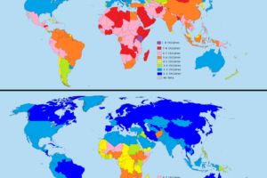
  • The Astounding Drop in Global Fertility Rates Between 1970 And 2014

    The Astounding Drop in Global Fertility Rates Between 1970 And 2014

  • Map of Local Heartbrand Ice Cream Name By Country

    Map of Local Heartbrand Ice Cream Name By Country

  • Map of Riyadh, Saudi Arabia in 1866 vs 2024

    Map of Riyadh, Saudi Arabia in 1866 vs 2024

  • Akrotiri and Dhekelia: The Only British Overseas Territory Using The Euro

    Akrotiri and Dhekelia: The Only British Overseas Territory Using The Euro

  • Reincarnation Color Game Map

    Reincarnation Color Game Map

Leave a Reply Cancel reply

Your email address will not be published. Required fields are marked *

This site uses Akismet to reduce spam. Learn how your comment data is processed.


Product Reviews · World Atlas · Map Posters · Settlers of Catan · Risk · Game of Thrones · Coloring Books · Globes · Monopoly · Star Wars · Game of Life · Pandemic · Ticket To Ride · Drinks Cabinets
Size Comparisons · US Locations · Flight Maps · Fleet Management
Copyright © 2026 · Privacy Policy · Fair Use, Attribution & Copyright · Contact Us
Follow Us: Newsletter · Facebook · Youtube · Twitter · Threads · BlueSky · LinkedIn · Instagram · Pinterest · Flipboard