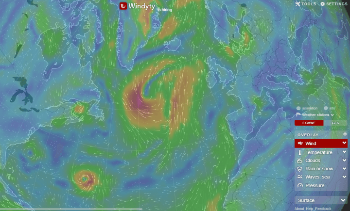
The map above is a screenshot of world wind patterns from Windyty, an absolutely stunning interactive website, that allows you to see global wind and weather patterns.
The website is the brainchild of Ivo, who says he loves the wind. On the website he states that:
I am an addicted kiter, helicopter and jet pilot, who seeks the wind, waves, METARs and powder snow almost constantly. Since programming is my passion I coded Windyty.com in 2014 as my pet project, using open source codes of Cameron Becarrio. My goal is to keep Windyty small and fast, rather than to destroy it by adding new features, and making is slow and big.
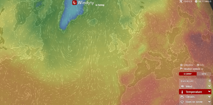
In addition to the wind, there are also other weather patterns such as temperature:
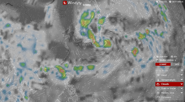
Clouds:
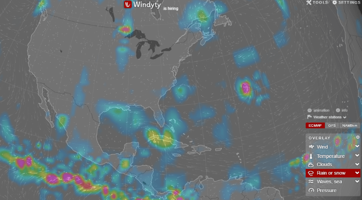
Rain:
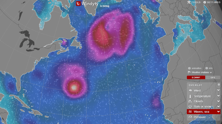
Waves:
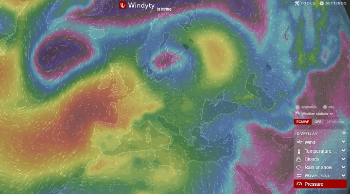
Pressure:
You can play around with the map on the Windyty website and/or Android app.
To learn more about the wind have a look at the following books:
- And Soon I Heard a Roaring Wind: A Natural History of Moving Air
- Wind: How the Flow of Air Has Shaped Life, Myth, and the Land
- The Boy Who Harnessed the Wind
Enjoy this map? Please help us by sharing it:


Jayarava says
This is not ” the brainchild of Ivo” it’s just a rip off of https://earth.nullschool.net/ which has been around for a few years.
Dr. Martin Huber says
Just a blunt copy from MeteoBlue https://www.meteoblue.com -> https://www.meteoblue.com/de/wetter/maps/index#46.891N7.498E_CET+01:00_10.0_wind_surface_pause_1480464000_1480525200
Meteoblue even runs their own weather forecast models since 2005! Probably the only fully independent weather crunchers, who knows? Their wind maps with the “white mice” running all over the place have even been on German TV “ARD” for some years in their main evening news edition. The credit for this kind of wind maps surely goes to Prof. Matthias Müller (https://content.meteoblue.com/en/ueber-uns/management-team), the brilliant brain behind MeteoBlue.
pavelneuman says
Hi Martin. Meteoblue is one of our data partners. Windytv uses more weather forecast models. Global ECMWF and GFS + local NEMS and NAM. https://community.windytv.com/topic/12/what-source-of-weather-data-windytv-use
Alma Thibou-Thomson says
I think Windy is great.Why do you only use the capital towns of the country to identify .I live in Antigua (St Johns)in the Caribbean.I don’t know most of the capital in my area so how do non Carribean people know how to identify or ask a question.Why don’t you identify by the countries name not their capitals.This a question for the company.I cannot find information on how to contact Windy .Thank you .Alma
Sam Fakatou says
Please can you show the weather forecast for the South Pacific for now..