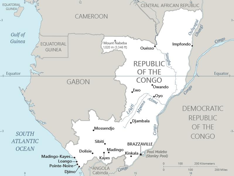
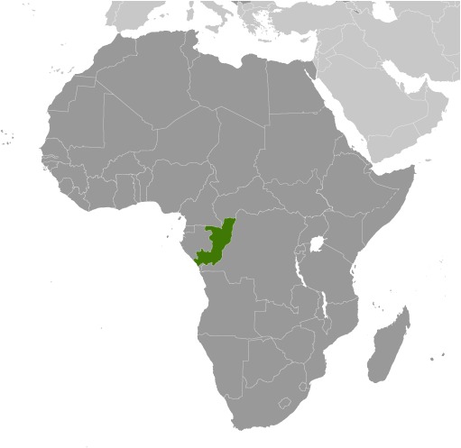
Congo, Republic of the Location Map
Congo, Republic of the Facts
Full Official Name: Republic of the Congo
Demonym: Congolese, Congo
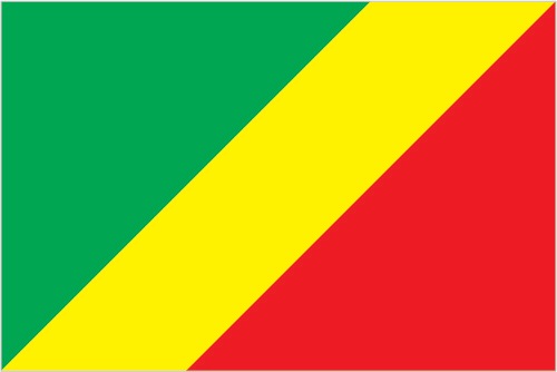
Flag:
Area
Total Area: 342,000 km²
Total Land Area: 341,500 km²
Total Water Area: 500 km²
Demographics
Population: 6,097,665
Population Growth Rate: 2.38% (2024 est.)
Largest City: Brazzaville (Population: 2,145,783)
Ethnic Groups: Kongo (Bakongo) 40.5%, Teke 16.9%, Mbochi 13.1%, foreigner 8.2%, Sangha 5.6%, Mbere/Mbeti/Kele 4.4%, Punu 4.3%, Pygmy 1.6%, Oubanguiens 1.6%, Duma 1.5%, Makaa 1.3%, other and unspecified 1% (2014-15 est.)
Languages: French (official), French Lingala and Monokutuba (trade languages), many local languages and dialects (of which Kikongo is the most widespread)
Religions: Roman Catholic 33.1%, Awakening Churches/Christian Revival 22.3%, Protestant 19.9%, Salutiste 2.2%, Muslim 1.6%, Kimbanguiste 1.5%, other 8.1%, none 11.3% (2007 est.)
Economy
Currency: Central African CFA franc
Real GDP at Purchasing Power Parity ($ PPP): $38.163 billion (2023 est.)
GDP per capita (PPP): $6,200 (2023 est.)
Exports Value Per Year: $7.752 billion (2021 est.)
Biggest Export Partners: China 39%, India 20%, UAE 15%, Italy 5%, Vietnam 4% (2022)
Imports Value Per Year: $4.487 billion (2021 est.)
Biggest Import Partners: China 26%, France 9%, UAE 6%, Belgium 6%, India 5% (2022)
Government
Type: presidential republic
Capital City: Brazzaville (Population: 2,145,783)
Other Facts
Time Zone: UTC+1 (WAT)
Country Code: CG
Internet TLD: .cg
Climate Map of Congo, Republic of the

Climate: tropical; rainy season (March to June); dry season (June to October); persistent high temperatures and humidity; particularly enervating climate astride the Equator
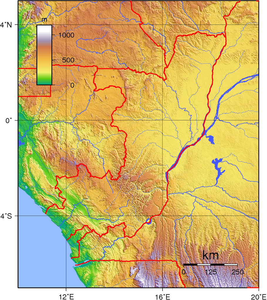
Topographic Map of Congo, Republic of the