One of CIA’s oldest and most recognizable intelligence publications, The World Factbook, has sunset. The World Factbook served the Intelligence Community and the general public as a longstanding, one-stop basic reference about countries and communities around the globe.
Link to the History of The World Factbook.
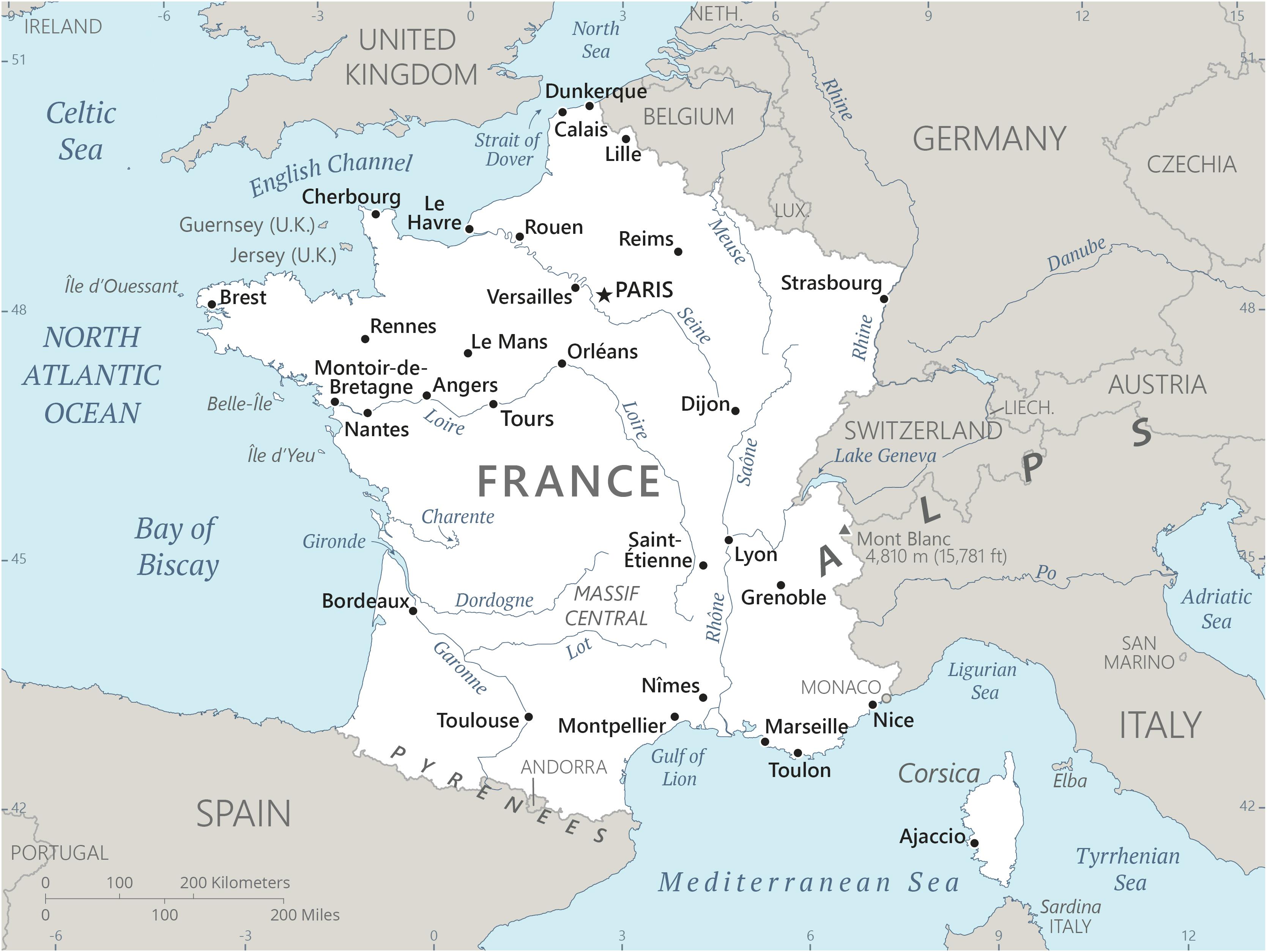
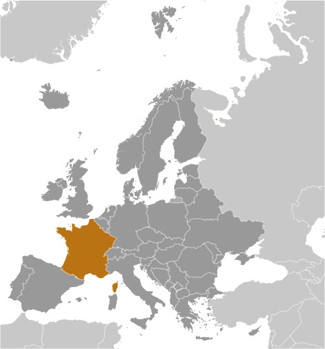
Where is France? Location Map
France Facts
Full Official Name: French Republic
Demonym: French
Flag:

Area
Total Area: 643,801 km²
Total Land Area: 640,427 km²
Total Water Area: 3,374 km²
Demographics
Population: 68,374,591
Population Growth Rate: 0.2% (2024 est.)
Largest City: Paris (Population: 2,102,650)
Ethnic Groups: Celtic and Latin with Teutonic, Slavic, North African (Algerian, Moroccan, Tunisian), Indochinese, Basque minorities
Languages: French (official) 100%, declining regional dialects and languages (Provencal, Breton, Alsatian, Corsican, Catalan, Basque, Flemish, Occitan, Picard)
Religions: Roman Catholic 47%, Muslim 4%, Protestant 2%, Buddhist 2%, Orthodox 1%, Jewish 1%, other 1%, none 33%, unspecified 9% (2021 est.)
Economy
Currency: Euro, CFP franc
Real GDP at Purchasing Power Parity ($ PPP): $3.764 trillion (2023 est.)
GDP per capita (PPP): $55,200 (2023 est.)
Exports Value Per Year: $1.052 trillion (2023 est.)
Biggest Export Partners: Germany 13%, Italy 9%, US 8%, Belgium 8%, Spain 8% (2022)
Imports Value Per Year: $1.099 trillion (2023 est.)
Biggest Import Partners: Germany 15%, Belgium 9%, Spain 8%, Italy 8%, Netherlands 8% (2022)
Government
Type: semi-presidential republic
Capital City: Paris (Population: 2,102,650)
Other Facts
Time Zone: UTC+1 (CET), UTC+2 (CEST) (DST)
Country Code: FR
Internet TLD: .fr
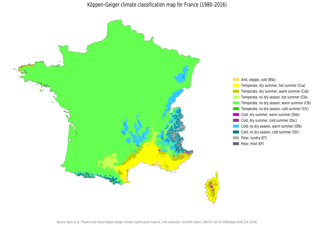
Climate Map of France
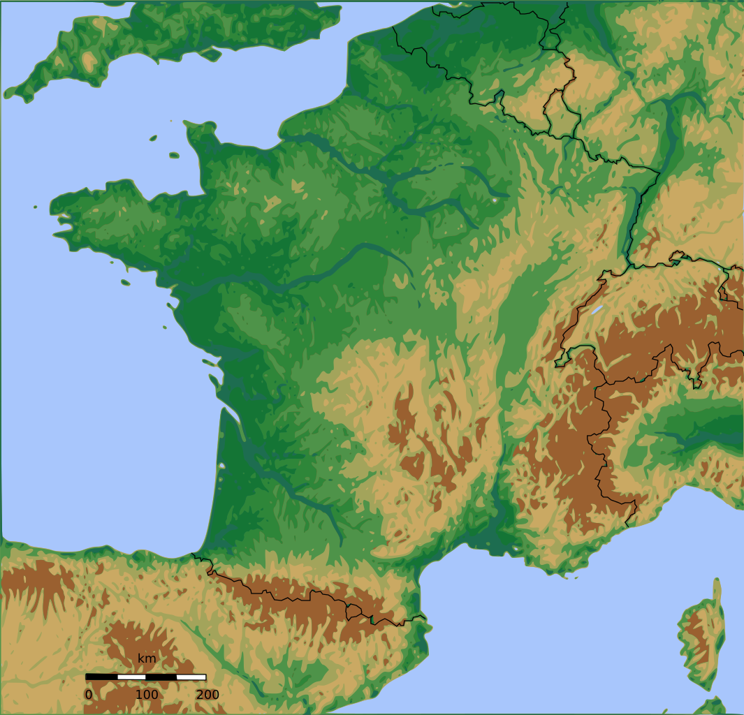
Topographic Map of France
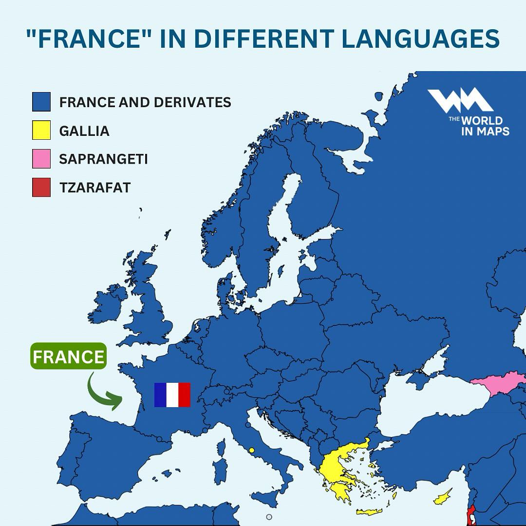
What is France Called In Other European Languages?