
The map shows the Greater London commuter belt, or more specifically the percentage of workers who work in London, but live outside it.
Making Sense Of The World, One Map At A Time
The map shows the Greater London commuter belt, or more specifically the percentage of workers who work in London, but live outside it.
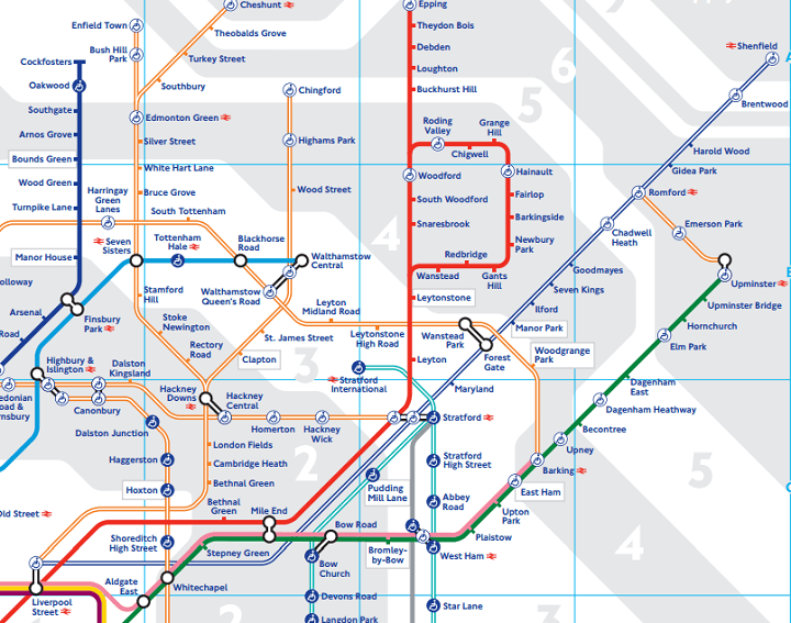
London’s tube map, arguably the most famous transportation map in the world, has just been updated for 2015. The reason is that Transport of London (TFL), which makes the map, has added some new services.
For those not living in London, TFL are the government body responsible for a large part of the transportation system of London. In addition to running London Underground they also run:
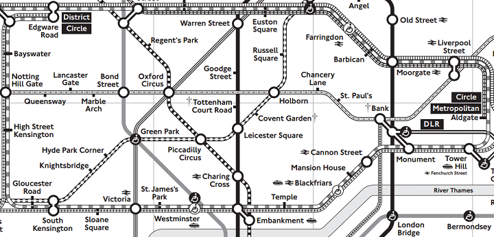
Ever think London’s tube map looks confusing? Now imagine trying to use it, but you couldn’t easily distinguish between the colours of each line.
Well for hundreds of thousands of colour blind Londoners, this is their reality each and every day.