
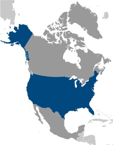
The map of United States of America above comes from the CIA World Factbook which has now been taken offline with the following statement:
One of CIA’s oldest and most recognizable intelligence publications, The World Factbook, has sunset. The World Factbook served the Intelligence Community and the general public as a longstanding, one-stop basic reference about countries and communities around the globe.
Link to the History of The World Factbook.
Where is the United States? Location Map
United States Facts
Full Official Name: United States of America
Demonym: American
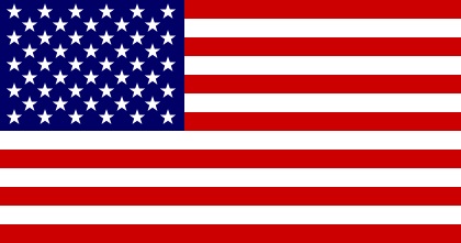
Flag:
Area
Total Area: 9,833,517 km²
Total Land Area: 9,147,593 km²
Total Water Area: 685,924 km²
Demographics
Population: 341,963,408
Population Growth Rate: 0.67% (2024 est.)
Largest City: New York City (Population: 8,804,190)
Ethnic Groups: White 61.6%, Black or African American 12.4%, Asian 6%, Indigenous and Alaska native 1.1%, Native Hawaiian and Other Pacific Islander 0.2%, other 8.4%, two or more races 10.2% (2020 est.)
Languages: English only 78.2%, Spanish 13.4%, Chinese 1.1%, other 7.3% (2017 est.)
Religions: Protestant 46.5%, Roman Catholic 20.8%, Jewish 1.9%, Church of Jesus Christ 1.6%, other Christian 0.9%, Muslim 0.9%, Jehovah’s Witness 0.8%, Buddhist 0.7%, Hindu 0.7%, other 1.8%, unaffiliated 22.8%, don’t know/refused 0.6% (2014 est.)
Economy
Currency: U.S. dollar
Real GDP at Purchasing Power Parity ($ PPP): $24.662 trillion (2023 est.)
GDP per capita (PPP): $73,600 (2023 est.)
Exports Value Per Year: $3.052 trillion (2023 est.)
Biggest Export Partners: Canada 16%, Mexico 15%, China 8%, Japan 4%, UK 4% (2022)
Imports Value Per Year: $3.832 trillion (2023 est.)
Biggest Import Partners: China 18%, Canada 14%, Mexico 14%, Germany 5%, Japan 4% (2022)
Government
Type: constitutional federal republic
Capital City: Washington, DC (Population: 689,545)
Other Facts
Time Zone: UTC−4 to −12, +10, +11, UTC−4 to −10 (DST)
Country Code: US
Internet TLD: .us
Climate Map of The United States
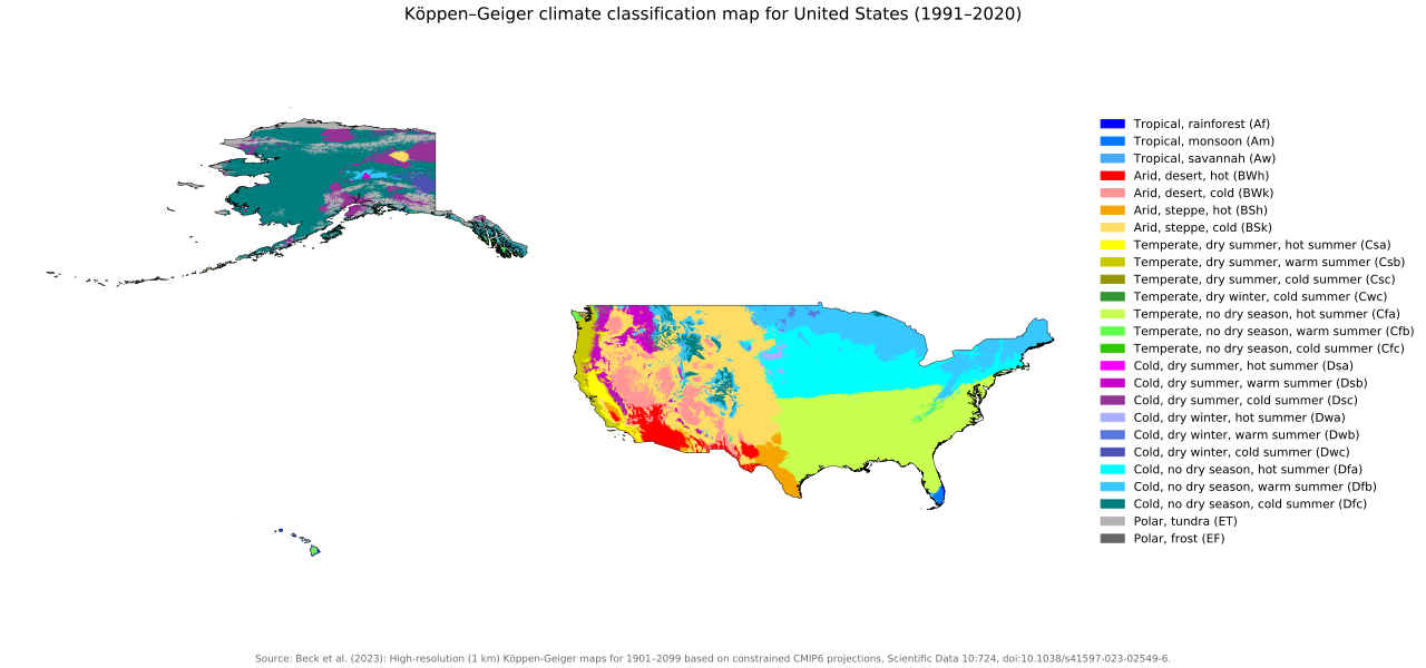
Climate: mostly temperate, but tropical in Hawaii and Florida, arctic in Alaska, semiarid in the great plains west of the Mississippi River, and arid in the Great Basin of the southwest; low winter temperatures in the northwest are ameliorated occasionally in January and February by warm chinook winds from the eastern slopes of the Rocky Mountains.
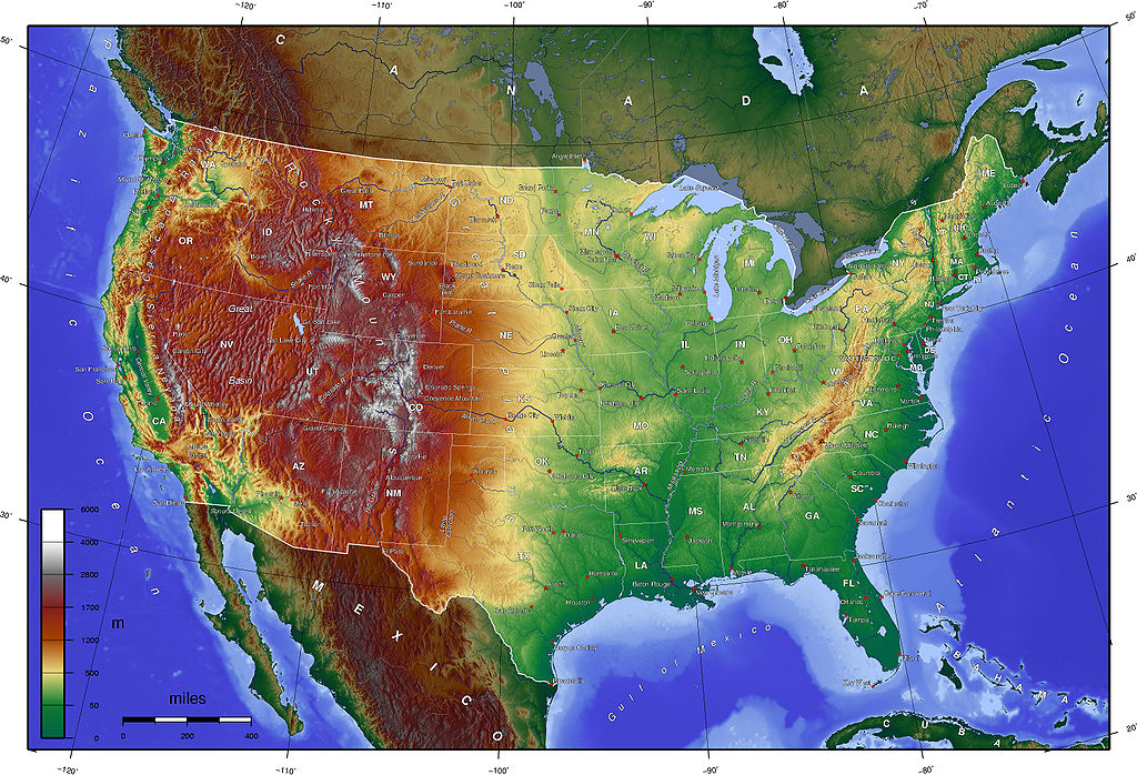
Topographic Map of The United States
Read More About United States
- Official United States Website
- United States On The CIA World Factbook
- United States On Wikipedia
- United States On National Geographic Kids
- United States On Britannica
See other country maps here.