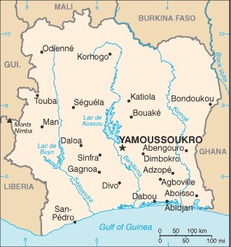
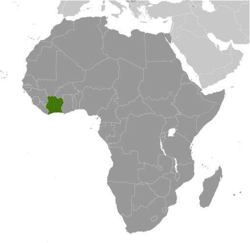
Cote d’Ivoire Location Map
Cote d’Ivoire Facts
Full Official Name: Republic of Côte d’Ivoire
Demonym: Ivorian, Ivory Coasters
Flag:
Area
Total Area: 322,463 km²
Total Land Area: 318,003 km²
Total Water Area: 4460 km²
Demographics
Population: 29,981,758
Population Growth Rate: 2.13% (2024 est.)
Largest City: Abidjan (Population: 6,321,017)
Ethnic Groups: Akan 38%, Voltaique or Gur 22%, Northern Mande 22%, Kru 9.1%, Southern Mande 8.6%, other 0.3% (2021 est.)
Languages: French (official), 60 native dialects of which Dioula is the most widely spoken
Religions: Muslim 42.9%, Catholic 17.2%, Evangelical 11.8%, Methodist 1.7%, other Christian 3.2%, animist 3.6%, other religion 0.5%, none 19.1% (2014 est.)
Economy
Currency: West African CFA franc
Real GDP at Purchasing Power Parity ($ PPP): $202.758 billion (2023 est.)
GDP per capita (PPP): $7,000 (2023 est.)
Exports Value Per Year: $17.211 billion (2022 est.)
Biggest Export Partners: Switzerland 9%, Mali 8%, Netherlands 8%, US 6%, France 5% (2022)
Imports Value Per Year: $19.948 billion (2022 est.)
Biggest Import Partners: China 18%, Nigeria 11%, France 8%, India 5%, Belgium 4% (2022)
Government
Type: presidential republic
Capital City: Yamoussoukro (Population: 422,072)
Other Facts
Time Zone: UTC±00:00 (GMT)
Country Code: CI
Internet TLD: .ci
Climate Map of Cote d’Ivoire
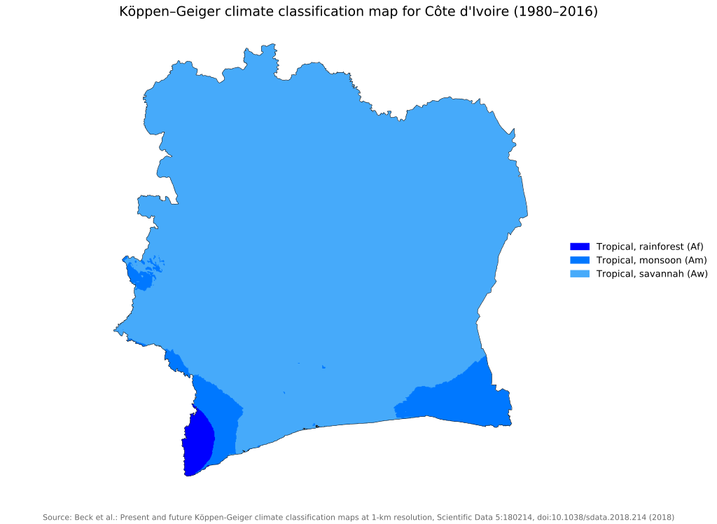 The climate map of Cote d’Ivoire above was created by Beck, H.E., Zimmermann, N. E., McVicar, T. R., Vergopolan, N., Berg, A., & Wood, E. F.
Climate: tropical along coast, semiarid in far north; three seasons – warm and dry (November to March), hot and dry (March to May), hot and wet (June to October)
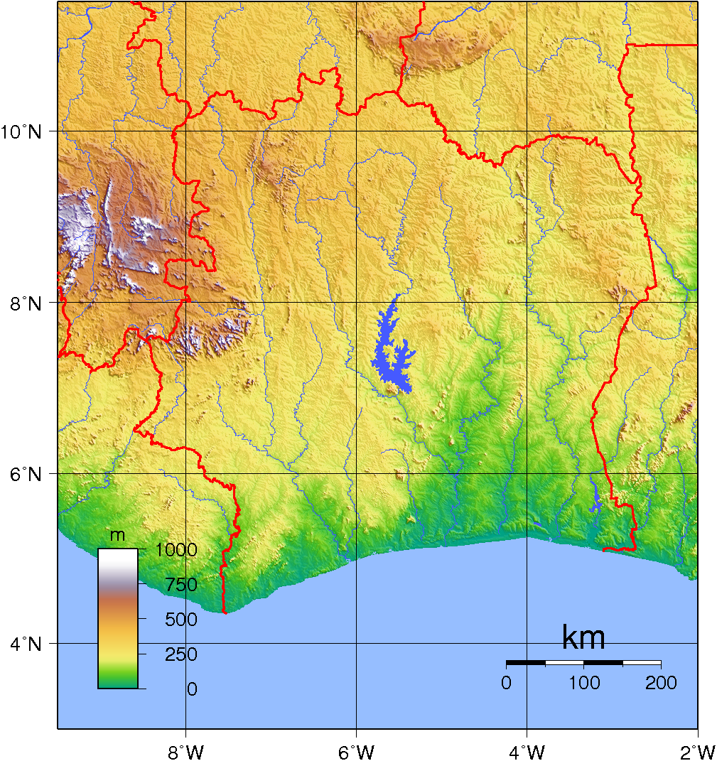
Topographic Map of Cote d’Ivoire