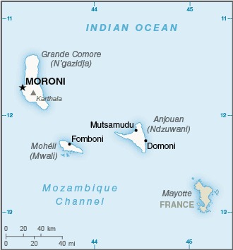
The map of Comoros above comes from the CIA World Factbook which has now been taken offline with the following statement:
One of CIA’s oldest and most recognizable intelligence publications, The World Factbook, has sunset. The World Factbook served the Intelligence Community and the general public as a longstanding, one-stop basic reference about countries and communities around the globe.
Link to the History of The World Factbook.
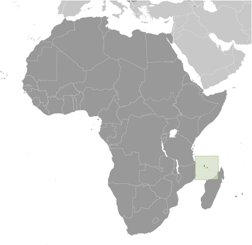
Where is Comoros? Location Map
List of Land & Sea Borders For Comoros
- Mozambique (Sea): 519 km (322 miles)
- France (Sea): 444 km (276 miles) (via Mayotte & the Glorioso Islands)
- Seychelles (Sea): 443 km (275 miles)
- Tanzania (Sea): 249 km (155 miles)
- Madagascar (Sea): 50 km (31.1 miles)
Comoros Facts
Full Official Name: Union of the Comoros
Demonym: Comorian
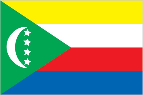
Flag:
Area
Total Area: 2,235 km²
Total Land Area: 2,235 km²
Total Water Area: 0 km²
Demographics
Population: 900,141
Population Growth Rate: 1.3% (2024 est.)
Largest City: Moroni (Population: 111,326)
Ethnic Groups: Antalote, Cafre, Makoa, Oimatsaha, Sakalava
Languages: Arabic (official), French (official), Shikomoro (official; similar to Swahili), Comorian
Religions: Muslim 98.1% (overwhelmingly Sunni Muslim, small Shia Muslim and Ahmadiyya Muslim populations), ethnic religionist 1.1%, Christian 0.6%, other 0.3% (2020 est.)
Economy
Currency: Comorian franc
Real GDP at Purchasing Power Parity ($ PPP): $2.961 billion (2023 est.)
GDP per capita (PPP): $3,500 (2023 est.)
Exports Value Per Year: $165.347 million (2022 est.)
Biggest Export Partners: Turkey 23%, India 19%, UAE 9%, US 9%, Indonesia 8% (2022)
Imports Value Per Year: $479.94 million (2022 est.)
Biggest Import Partners: UAE 25%, China 19%, India 12%, France 8%, Tanzania 7% (2022)
Government
Type: federal presidential republic
Capital City: Moroni (Population: 111,326)
Other Facts
Time Zone: UTC+3 (EAT)
Country Code: KM
Internet TLD: .km