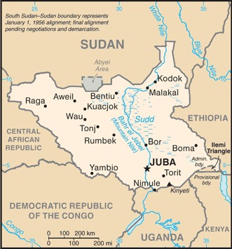
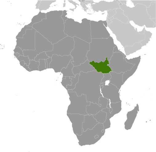
South Sudan Location Map
South Sudan Facts
Full Official Name: Republic of South Sudan
Demonym: South Sudanese
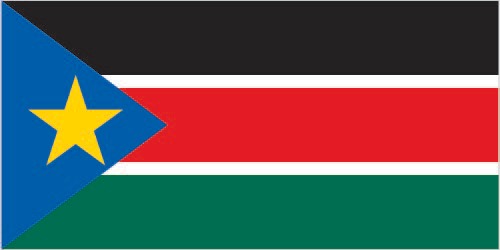
Flag:
Area
Total Area: 644,329 km²
Total Land Area: N/A km²
Total Water Area: N/A km²
Demographics
Population: 12,703,714
Population Growth Rate: 4.65% (2024 est.)
Largest City: Juba (Population: 525,953)
Ethnic Groups: Dinka (Jieng) approximately 35-40%, Nuer (Naath) approximately 15%, Shilluk (Chollo), Azande, Bari, Kakwa, Kuku, Murle, Mandari, Didinga, Ndogo, Bviri, Lndi, Anuak, Bongo, Lango, Dungotona, Acholi, Baka, Fertit (2011 est.)
Languages: English (official), Arabic (includes Juba and Sudanese variants), ethnic languages include Dinka, Nuer, Bari, Zande, Shilluk
Religions: Christian 60.5%, folk religion 32.9%, Muslim 6.2%, other <1%, unaffiliated <1% (2020 est.)
Economy
Currency: South Sudanese pound
Real GDP at Purchasing Power Parity ($ PPP): $20.01 billion (2017 est.)
GDP per capita (PPP): $1,600 (2017 est.)
Exports Value Per Year: $5.811 billion (2022 est.)
Biggest Export Partners: China 44%, Italy 26%, Singapore 12%, Japan 9%, UAE 8% (2022)
Imports Value Per Year: $6.402 billion (2022 est.)
Biggest Import Partners: UAE 39%, Kenya 18%, China 17%, US 4%, India 3% (2022)
Government
Type: presidential republic
Capital City: Juba (Population: 525,953)
Other Facts
Time Zone: UTC+2 (Central Africa Time)
Country Code: SS
Internet TLD: .ss
Climate Map of South Sudan

Climate: hot with seasonal rainfall influenced by the annual shift of the Inter-Tropical Convergence Zone; rainfall heaviest in upland areas of the south and diminishes to the north
Topographic Map of South Sudan
