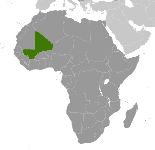
Mali Location Map
Mali Facts
Full Official Name: Republic of Mali
Demonym: Malian
Flag:
Area
Total Area: 1,240,192 km²
Total Land Area: 1,220,190 km²
Total Water Area: 20,002 km²
Demographics
Population: 21,990,607
Population Growth Rate: 2.9% (2024 est.)
Largest City: Bamako (Population: 4,227,569)
Ethnic Groups: Bambara 33.3%, Fulani (Peuhl) 13.3%, Sarakole/Soninke/Marka 9.8%, Senufo/Manianka 9.6%, Malinke 8.8%, Dogon 8.7%, Sonrai 5.9%, Bobo 2.1%, Tuareg/Bella 1.7%, other Malian 6%, from members of Economic Community of West Africa 0.4%, other 0.3% (2018 est.)
Languages: Bambara (official), French 17.2%, Peuhl/Foulfoulbe/Fulani 9.4%, Dogon 7.2%, Maraka/Soninke 6.4%, Malinke 5.6%, Sonrhai/Djerma 5.6%, Minianka 4.3%, Tamacheq 3.5%, Senoufo 2.6%, Bobo 2.1%, other 6.3%, unspecified 0.7% (2009 est.)
Religions: Muslim 93.9%, Christian 2.8%, animist 0.7%, none 2.5% (2018 est.)
Economy
Currency: West African CFA franc
Real GDP at Purchasing Power Parity ($ PPP): $57.235 billion (2023 est.)
GDP per capita (PPP): $2,500 (2023 est.)
Exports Value Per Year: $5.855 billion (2022 est.)
Biggest Export Partners: UAE 74%, Switzerland 17%, Australia 5%, China 1%, Turkey 1% (2022)
Imports Value Per Year: $7.942 billion (2022 est.)
Biggest Import Partners: Cote d’Ivoire 24%, Senegal 19%, China 10%, France 6%, Burkina Faso 5% (2022)
Government
Type: semi-presidential republic
Capital City: Bamako (Population: 4,227,569)
Other Facts
Time Zone: UTC (GMT)
Country Code: ML
Internet TLD: .ml
Climate Map of Mali

Climate: subtropical to arid; hot and dry (February to June); rainy, humid, and mild (June to November); cool and dry (November to February)
Topographic Map of Mali
