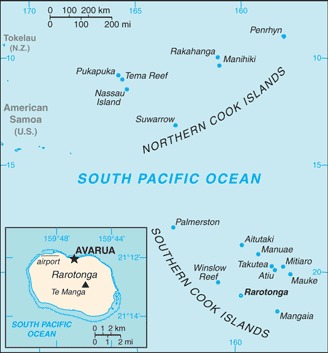
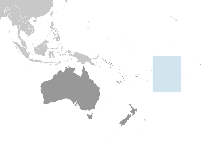
Cook Islands Location Map
Cook Islands Facts
Full Official Name: Cook Islands
Demonym: Cook Islander
Flag:
Area
Total Area: 236 km²
Total Land Area: 236 km²
Total Water Area: 0 km²
Demographics
Population: 7,761
Population Growth Rate: -2.24% (2024 est.)
Largest City: Avarua (Population: 4,906)
Ethnic Groups: Cook Island Maori 77.4%, part Cook Island Maori 8.3%, Fijian 3.6%, New Zealand Maori/European 3.4%, Filipino 2.9%, other Pacific Islands 1.8%, other 2.6% (2021 est.)
Languages: English (official) 86.4%, Cook Islands Maori (Rarotongan) (official) 76.2%, other 8.3% (2011 est.)
Religions: Protestant 55% (Cook Islands Christian Church 43.1%, Seventh Day Adventist 8.3%, Assemblies of God 3.6%), Roman Catholic 16.7%, Church of Jesus Christ 3.9%, Jehovah’s Witness 2.2%, Apostolic Church 2.1%, other 4.5%, none/unspecified 15.6% (2021 est.)
Economy
Currency: New Zealand dollar, Cook Islands dollar
Real GDP at Purchasing Power Parity ($ PPP): $266 million (2022 est.)
GDP per capita (PPP): $15,600 (2022 est.)
Exports Value Per Year: $31.4 million (2021 est.)
Biggest Export Partners: Japan 42%, France 27%, Thailand 12%, US 4%, Italy 3% (2022)
Imports Value Per Year: $215 million (2021 est.)
Biggest Import Partners: NZ 51%, Italy 18%, Fiji 11%, China 7%, Australia 3% (2022)
Government
Type: parliamentary democracy
Capital City: Avarua (Population: 4,906)
Other Facts
Time Zone: UTC–10 (CKT)
Country Code: CK
Internet TLD: .ck
Climate Map of Cook Islands

Climate: tropical oceanic; moderated by trade winds; a dry season from April to November and a more humid season from December to March
Topographic Map of Cook Islands