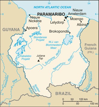
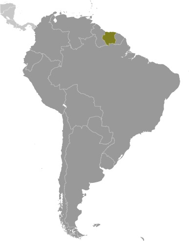
Suriname Location Map
Suriname Facts
Full Official Name: Republic of Suriname
Demonym: Surinamese
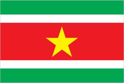
Flag:
Area
Total Area: 163,820 km²
Total Land Area: 156,000 km²
Total Water Area: 7,820 km²
Demographics
Population: 646,758
Population Growth Rate: Suriname1.07% (2024 est.)
Largest City: Paramaribo (Population: 240,924)
Ethnic Groups: Hindustani (also known locally as “East Indians”; their ancestors emigrated from northern India in the latter part of the 19th century) 27.4%, Maroon (their African ancestors were brought to the country in the 17th and 18th centuries as slaves and escaped to the interior) 21.7%, Creole (mixed White and Black) 15.7%, Javanese 13.7%, mixed 13.4%, other 7.6%, unspecified 0.6% (2012 est.)
Languages: Dutch (official), English (widely spoken), Sranang Tongo (Surinamese, sometimes called Taki-Taki, is the native language of Creoles and much of the younger population), Caribbean Hindustani (a dialect of Hindi), Javanese
Religions: Protestant 23.6% (includes Evangelical 11.2%, Moravian 11.2%, Reformed 0.7%, Lutheran 0.5%), Hindu 22.3%, Roman Catholic 21.6%, Muslim 13.8%, other Christian 3.2%, Winti 1.8%, Jehovah’s Witness 1.2%, other 1.7%, none 7.5%, unspecified 3.2% (2012 est.)
Economy
Currency: Surinamese dollar
Real GDP at Purchasing Power Parity ($ PPP): $11.824 billion (2023 est.)
GDP per capita (PPP): $19,000 (2023 est.)
Exports Value Per Year: $2.534 billion (2023 est.)
Biggest Export Partners: Switzerland 39%, UAE 21%, Belgium 10%, Guyana 5%, Trinidad and Tobago 4% (2022)
Imports Value Per Year: $2.218 billion (2023 est.)
Biggest Import Partners: US 25%, China 15%, Netherlands 13%, Trinidad and Tobago 6%, Japan 3% (2022)
Government
Type: presidential republic
Capital City: Paramaribo (Population: 240,924)
Other Facts
Time Zone: UTC-3 (SRT)
Country Code: SR
Internet TLD: .sr
Climate Map of Suriname

Climate: tropical; moderated by trade winds
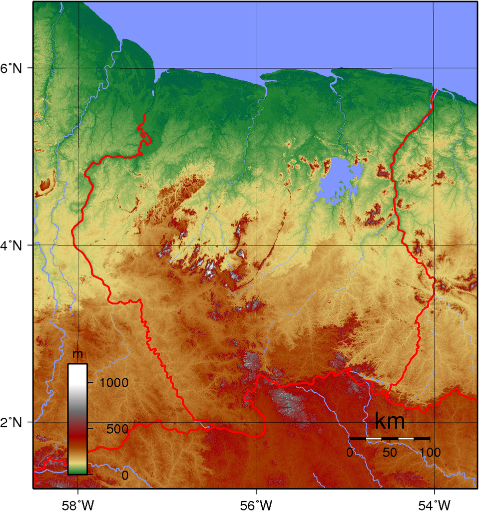
Topographic Map of Suriname