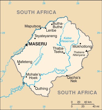
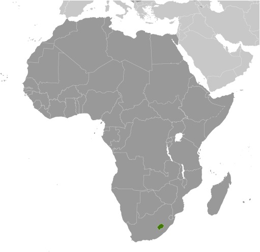
Lesotho Location Map
Lesotho Facts
Full Official Name: Kingdom of Lesotho
Demonym: Mosotho (singular), Basotho (plural)
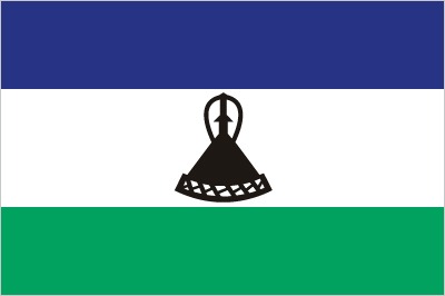
Flag:
Area
Total Area: 30,355 km²
Total Land Area: 30,355 km²
Total Water Area: 0 km²
Demographics
Population: 2,227,548
Population Growth Rate: 0.76% (2024 est.)
Largest City: Maseru (Population: 330,760)
Ethnic Groups: Sotho 99.7%, other 0.3% (includes Kwena, Nguni (Hlubi and Phuthi), Zulu)
Languages: Sesotho (official), English (official), Phuthi, Xhosa, Zulu
Religions: Protestant 47.8% (Pentecostal 23.1%, Lesotho Evangelical 17.3%, Anglican 7.4%), Roman Catholic 39.3%, other Christian 9.1%, non-Christian 1.4%, none 2.3% (2014 est.)
Economy
Currency: Lesotho loti, South African rand
Real GDP at Purchasing Power Parity ($ PPP): $5.868 billion (2023 est.)
GDP per capita (PPP): $2,500 (2023 est.)
Exports Value Per Year: $886.278 million (2023 est.)
Biggest Export Partners: South Africa 37%, US 28%, Belgium 19%, UAE 6%, UK 3% (2022)
Imports Value Per Year: $2.058 billion (2023 est.)
Biggest Import Partners: South Africa 77%, China 6%, Taiwan 5%, Zimbabwe 4%, India 2% (2022)
Government
Type: parliamentary constitutional monarchy
Capital City: Maseru (Population: 330,760)
Other Facts
Time Zone: UTC+2:00 (South African Standard Time)
Country Code: LS
Internet TLD: .ls
Climate Map of Lesotho

Climate: temperate; cool to cold, dry winters; hot, wet summers
Topographic Map of Lesotho
