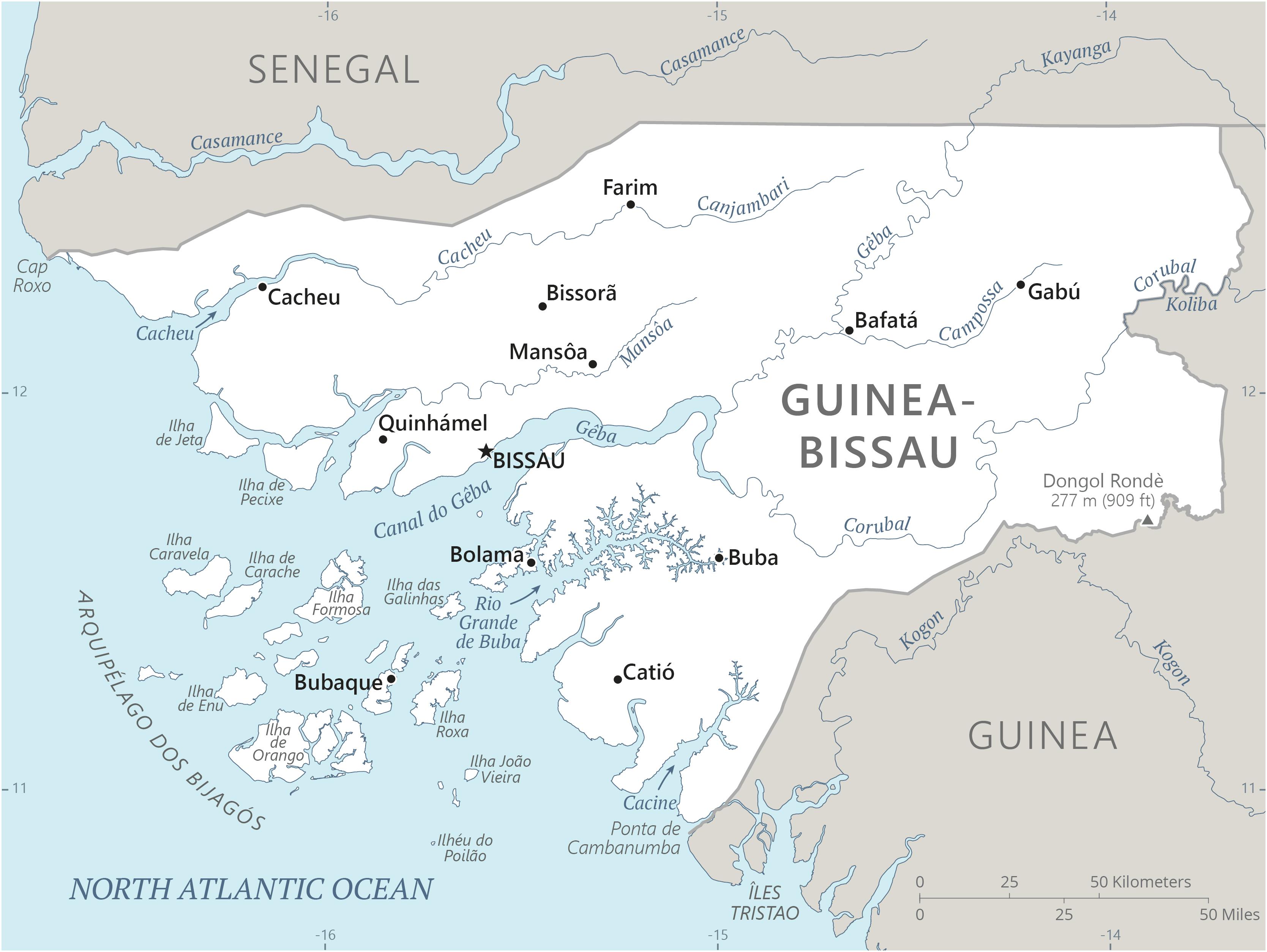
Guinea-Bissau Location Map
Guinea-Bissau Facts
Full Official Name: Republic of Guinea-Bissau
Demonym: Bissau-Guinean, Guinean
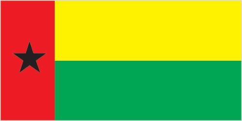
Flag:
Area
Total Area: 36,125 km²
Total Land Area: 28,120 km²
Total Water Area: 8,005 km²
Demographics
Population: 2,132,325
Population Growth Rate: 2.54% (2024 est.)
Largest City: Bissau (Population: 492,004)
Ethnic Groups: Balanta 30%, Fulani 30%, Manjaco 14%, Mandinga 13%, Papel 7%, unspecified smaller ethnic groups 6% (2015 est.)
Languages: Portuguese-based Creole, Portuguese (official; largely used as a second or third language), Pular (a Fula language), Mandingo
Religions: Muslim 46.1%, folk religions 30.6%, Christian 18.9%, other or unaffiliated 4.4% (2020 est.)
Economy
Currency: West African CFA franc
Real GDP at Purchasing Power Parity ($ PPP): $5.099 billion (2023 est.)
GDP per capita (PPP): $2,400 (2023 est.)
Exports Value Per Year: $280.065 million (2022 est.)
Biggest Export Partners: India 92%, Cote d’Ivoire 2%, Togo 2%, Netherlands 1%, South Korea 1% (2022)
Imports Value Per Year: $577.899 million (2022 est.)
Biggest Import Partners: Portugal 34%, Senegal 22%, China 14%, Netherlands 6%, Spain 3% (2022)
Government
Type: semi-presidential republic
Capital City: Bissau (Population: 492,004)
Other Facts
Time Zone: UTC (GMT ± 00:00)
Country Code: GW
Internet TLD: .gw
Climate Map of Guinea-Bissau

Climate: tropical; generally hot and humid; monsoonal-type rainy season (June to November) with southwesterly winds; dry season (December to May) with northeasterly harmattan winds
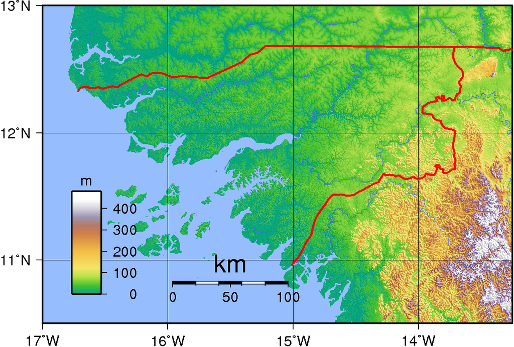
Topographic Map of Guinea-Bissau