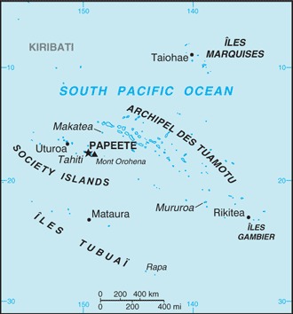
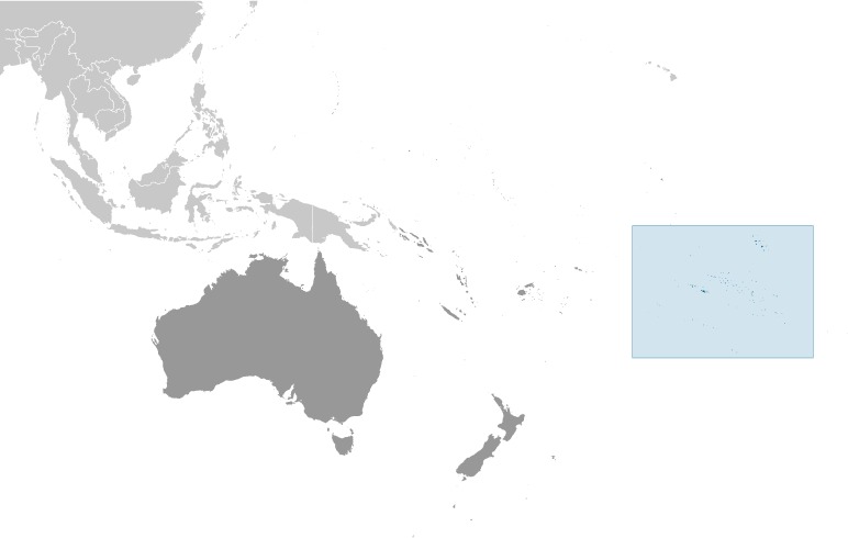
French Polynesia Location Map
French Polynesia Facts
Full Official Name: French Polynesia
Demonym: French Polynesian
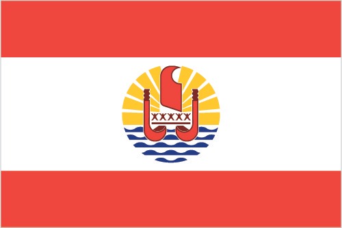
Flag:
Area
Total Area: 4,167 km²
Total Land Area: 3,827 km²
Total Water Area: 340 km²
Demographics
Population: 303,540
Population Growth Rate: 0.66% (2024 est.)
Largest City: Faʻaʻā (Population: 29,826)
Ethnic Groups: French PolynesiaPolynesian 78%, Chinese 12%, local French 6%, metropolitan French 4%
Languages: French (official) 73.5%, Tahitian 20.1%, Marquesan 2.6%, Austral languages 1.2%, Paumotu 1%, other 1.6% (2017 est.)
Religions: Protestant 54%, Roman Catholic 30%, other 10%, no religion 6%
Economy
Currency: CFP franc
Real GDP at Purchasing Power Parity ($ PPP): $5.65 billion (2021 est.)
GDP per capita (PPP): $18,600 (2021 est.)
Exports Value Per Year: $162 million (2021 est.)
Biggest Export Partners: France 18%, US 18%, Hong Kong 18%, Japan 13%, Netherlands 9% (2022)
Imports Value Per Year: $1.66 billion (2021 est.)
Biggest Import Partners: France 30%, China 13%, US 9%, South Korea 6%, NZ 6% (2022)
Government
Type: parliamentary democracy (Assembly of French Polynesia); an overseas collectivity of France
Capital City: Papeete (located on Tahiti) (Population: 26,654)
Other Facts
Time Zone: UTC−10:00, UTC−09:30 (Marquesas Islands), UTC−09:00 (Gambier Islands)
Country Code: PF,FR-PF, PYF
Internet TLD: .pf
Climate Map of French Polynesia

Climate: tropical, but moderate
Topographic Map of French Polynesia