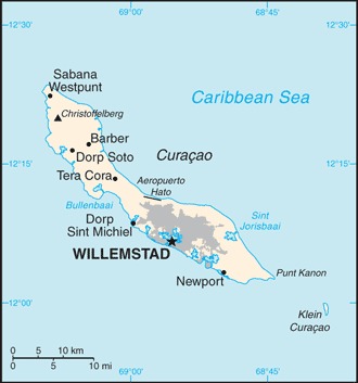
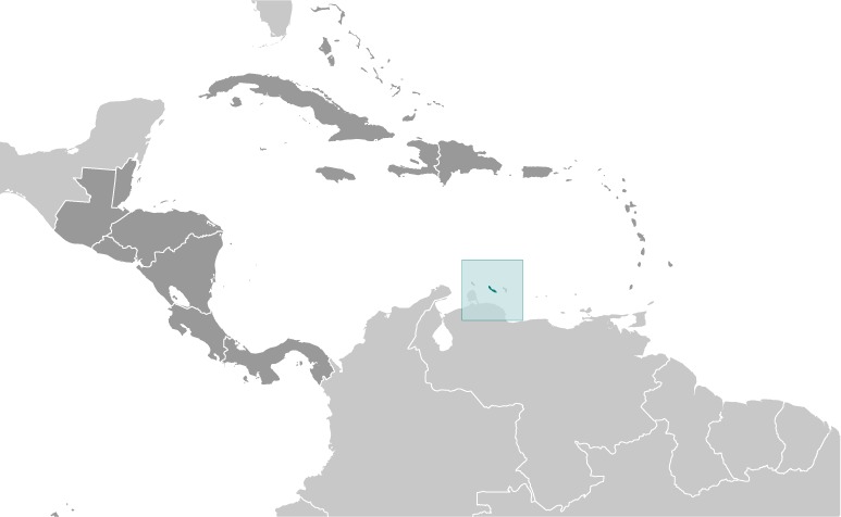
Curacao Location Map
Curacao Facts
Full Official Name: Country of Curaçao
Demonym: Curaçaoan
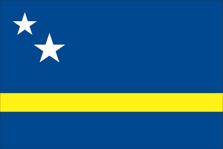
Flag:
Area
Total Area: 444 km²
Total Land Area: 444 km²
Total Water Area: 0 km²
Demographics
Population: 153,289
Population Growth Rate: 0.28% (2024 est.)
Largest City: Willemstad (Population: 136,660)
Ethnic Groups: Curacaoan 75.4%, Dutch 6%, Dominican 3.6%, Colombian 3%, Bonairean, Sint Eustatian, Saban 1.5%, Haitian 1.2%, Surinamese 1.2%, Venezuelan 1.1%, Aruban 1.1%, other 5%, unspecified 0.9% (2011 est.)
Languages: Papiamento (official) (a creole language that is a mixture of Portuguese, Spanish, Dutch, English, and, to a lesser extent, French, as well as elements of African languages and the language of the Arawak) 80%, Dutch (official) 8.8%, Spanish 5.6%, English (official) 3.1%, other 2.3%, unspecified 0.3% (2011 est.)
Religions: Roman Catholic 72.8%, Pentecostal 6.6%, Protestant 3.2%, Adventist 3%, Jehovah’s Witness 2%, Evangelical 1.9%, other 3.8%, none 6%, unspecified 0.6% (2011 est.)
Economy
Currency: Netherlands Antillean guilder
Real GDP at Purchasing Power Parity ($ PPP): $4.137 billion (2022 est.)
GDP per capita (PPP): $27,600 (2022 est.)
Exports Value Per Year: $2.049 billion (2022 est.)
Biggest Export Partners: US 17%, Costa Rica 16%, India 9%, Netherlands 7%, Guatemala 7% (2022)
Imports Value Per Year: $2.904 billion (2022 est.)
Biggest Import Partners: US 35%, Netherlands 22%, China 7%, Ecuador 5%, Philippines 3% (2022)
Government
Type: parliamentary democracy
Capital City: Willemstad (Population: 136,660)
Other Facts
Time Zone: UTC−4:00 (AST)
Country Code: CW
Internet TLD: .cw
Climate Map of Curacao

Climate: tropical marine climate, ameliorated by northeast trade winds, results in mild temperatures; semiarid with average rainfall of 60 cm/year
Topographic Map of Curacao