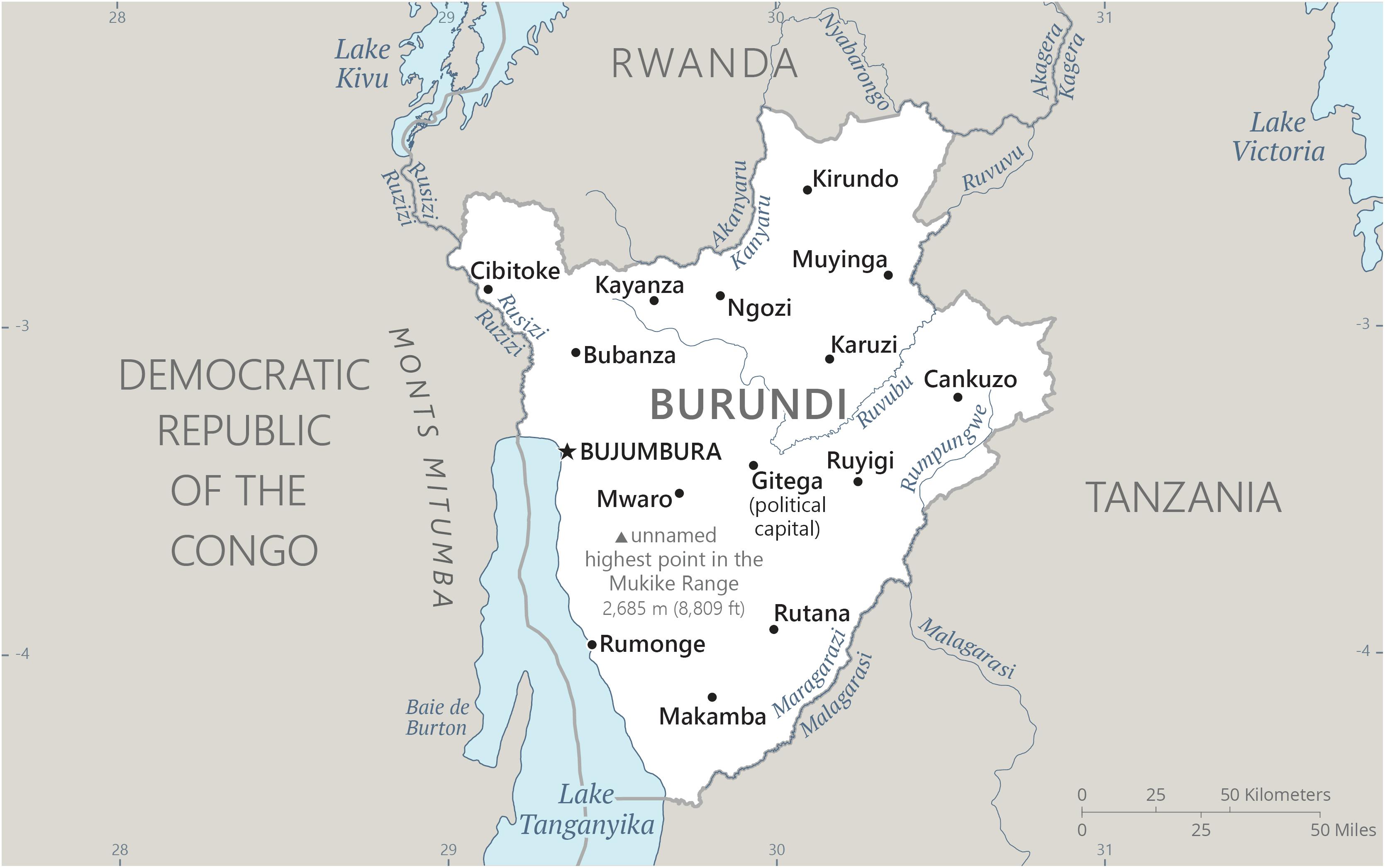
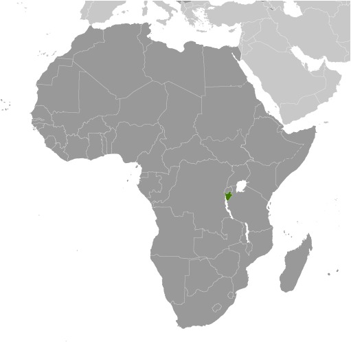
Burundi Location Map
Burundi Facts
Full Official Name: Republic of Burundi
Demonym: Burundian
Flag:
Area
Total Area: 27,830 km²
Total Land Area: 25,680 km²
Total Water Area: 2150 km²
Demographics
Population: 13,590,102
Population Growth Rate: 2.81% (2024 est.)
Largest City: Bujumbura (Population: 374,809)
Ethnic Groups: Hutu, Tutsi, Twa, South Asian
Languages: Kirundi (official), French (official), English (official, least spoken), Swahili (2008 est.)
Religions: Christian 93.9% (Roman Catholic 58.6%, Protestant 35.3% [includes Adventist 2.7% and other Protestant religions 32.6%]), Muslim 3.4%, other 1.3%, none 1.3% (2016-17 est.)
Economy
Currency: Burundian franc
Real GDP at Purchasing Power Parity ($ PPP): $11.347 billion (2023 est.)
GDP per capita (PPP): $900 (2023 est.)
Exports Value Per Year: $285.105 million (2018 est.)
Biggest Export Partners: UAE 32%, Democratic Republic of the Congo 14%, China 5%, Sudan 5%, Germany 4% (2022)
Imports Value Per Year: $905.294 million (2018 est.)
Biggest Import Partners: China 15%, UAE 14%, Saudi Arabia 13%, Tanzania 12%, India 7% (2022)
Government
Type: presidential republic
Capital City: Gitega (political capital), Bujumbura (commercial capital) (Population: 135,467)
Other Facts
Time Zone: UTC+2 (CAT)
Country Code: BI
Internet TLD: .bi
Climate Map of Burundi

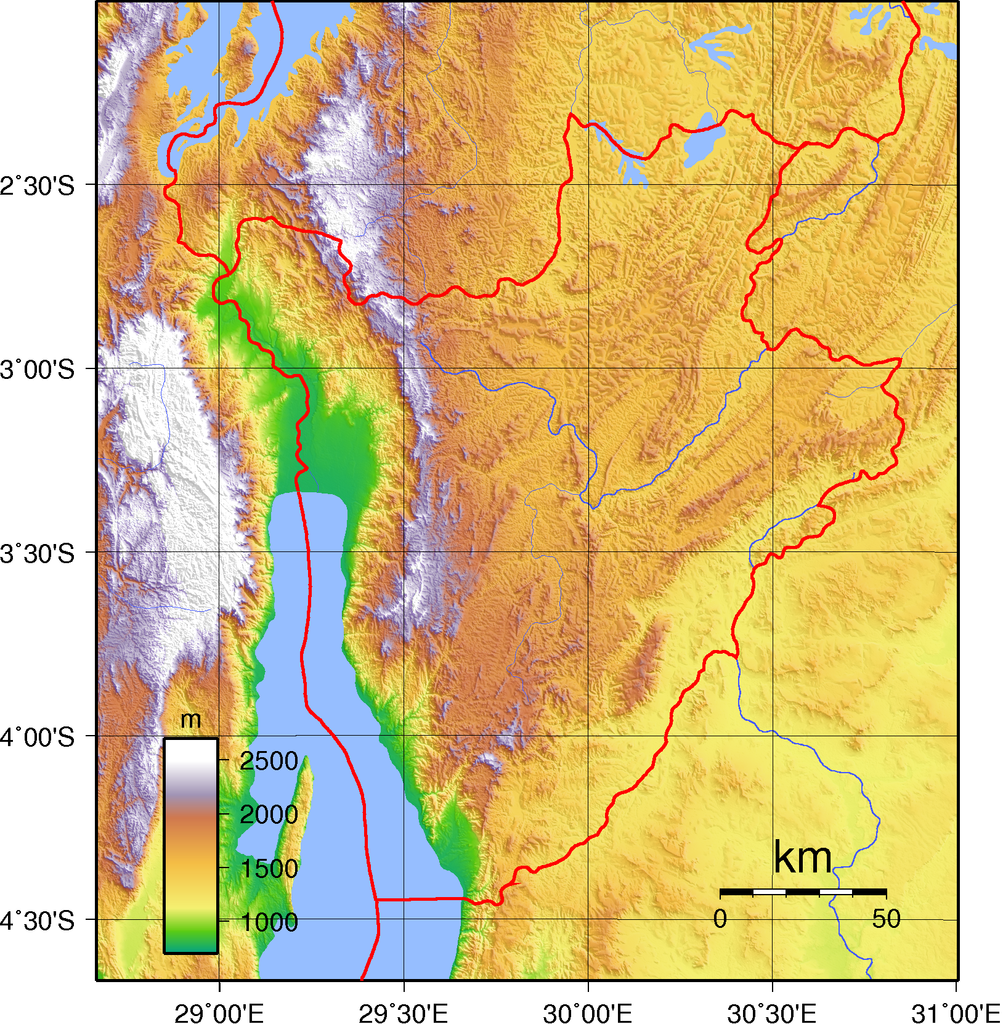
Climate: equatorial; high plateau with considerable altitude variation (772 m to 2,670 m above sea level); average annual temperature varies with altitude from 23 to 17 degrees Celsius but is generally moderate; average annual rainfall is about 150 cm with two wet seasons (February to May and September to November) and two dry seasons (June to August and December to January)
Topographic Map of Burundi