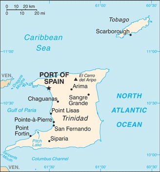
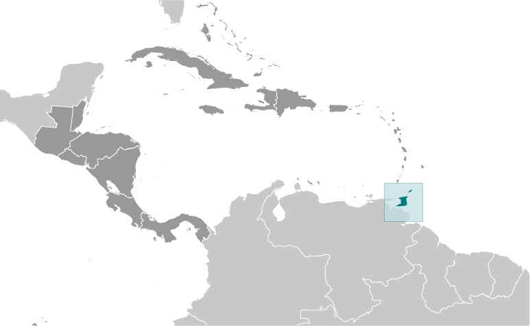
Trinidad and Tobago Location Map
Trinidad and Tobago Facts
Full Official Name: Republic of Trinidad and Tobago
Demonym: Trinidadian and Tobagonian, Trini or Trinbagonian
Flag:
Area
Total Area: 5,128 km²
Total Land Area: 5,128 km²
Total Water Area: 0 km²
Demographics
Population: 1,408,966
Population Growth Rate: 0.1% (2024 est.)
Largest City: Chaguanas (Population: 83,489)
Ethnic Groups: East Indian 35.4%, African descent 34.2%, mixed – other 15.3%, mixed – African/East Indian 7.7%, other 1.3%, unspecified 6.2% (2011 est.)
Languages: English (official), Trinidadian Creole English, Tobagonian Creole English, Caribbean Hindustani (a dialect of Hindi), Trinidadian Creole French, Spanish, Chinese
Religions: Protestant 32.1% (Pentecostal/Evangelical/Full Gospel 12%, Baptist 6.9%, Anglican 5.7%, Seventh Day Adventist 4.1%, Presbyterian/Congregational 2.5%, other Protestant 0.9%), Roman Catholic 21.6%, Hindu 18.2%, Muslim 5%, Jehovah’s Witness 1.5%, other 8.4%, none 2.2%, unspecified 11.1% (2011 est.)
Economy
Currency: Trinidad and Tobago dollar
Real GDP at Purchasing Power Parity ($ PPP): $43.681 billion (2023 est.)
GDP per capita (PPP): $28,500 (2023 est.)
Exports Value Per Year: $17.584 billion (2022 est.)
Biggest Export Partners: US 35%, Belgium 6%, Morocco 5%, Spain 4%, Brazil 4% (2022)
Imports Value Per Year: $10.694 billion (2022 est.)
Biggest Import Partners: US 40%, China 9%, Italy 7%, Brazil 4%, Canada 3% (2022)
Government
Type: parliamentary republic
Capital City: Port of Spain (Population: 37,074)
Other Facts
Time Zone: UTC-4 (AST)
Country Code: TT
Internet TLD: .tt
Climate Map of Trinidad and Tobago

Climate: tropical; rainy season (June to December)
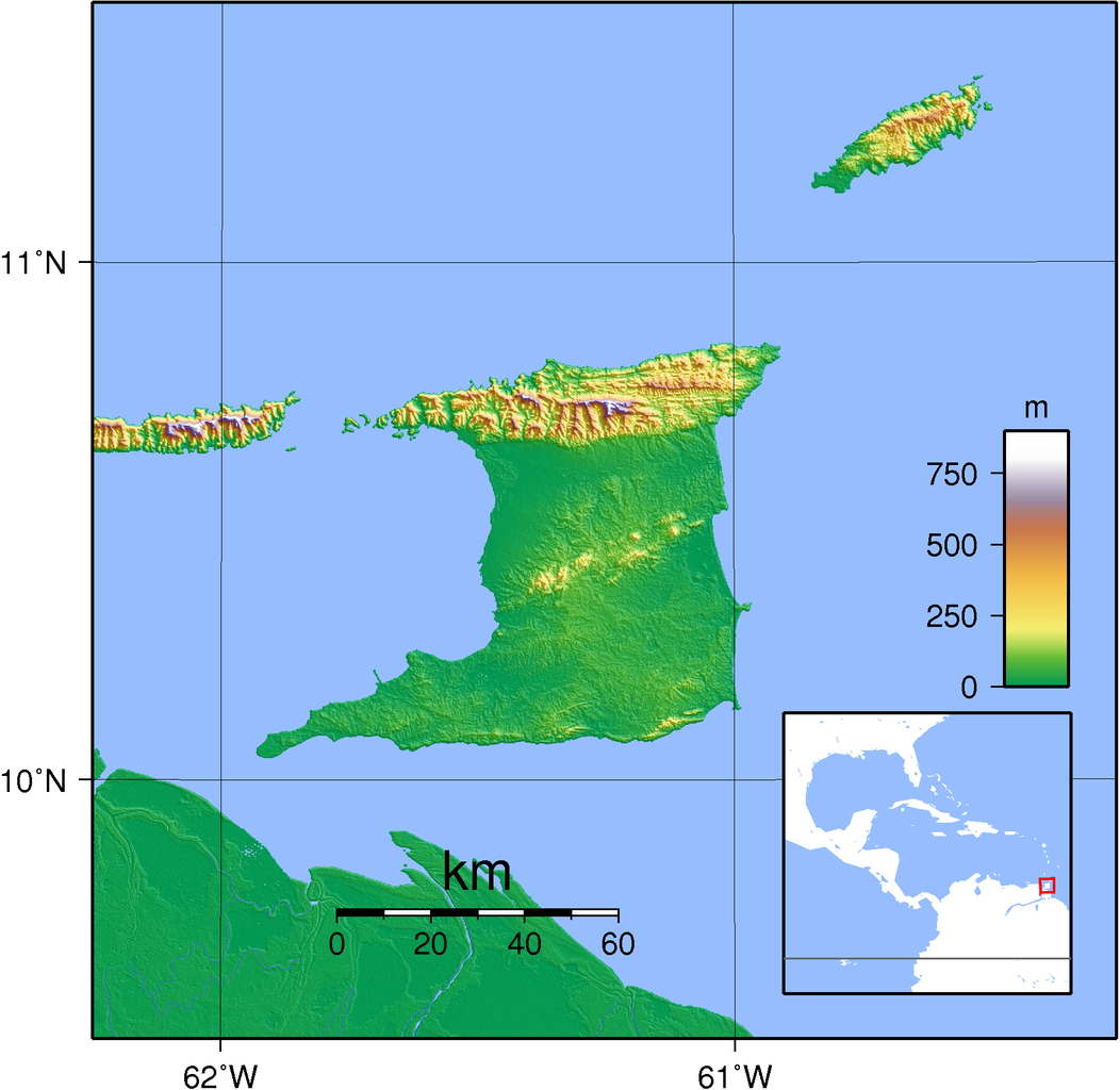
Topographic Map of Trinidad and Tobago