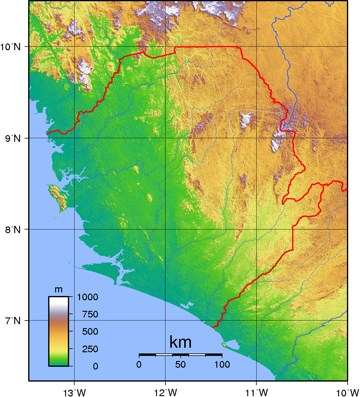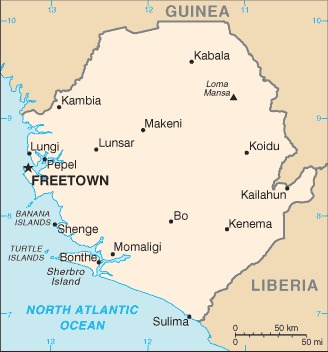
Sierra Leone Location Map
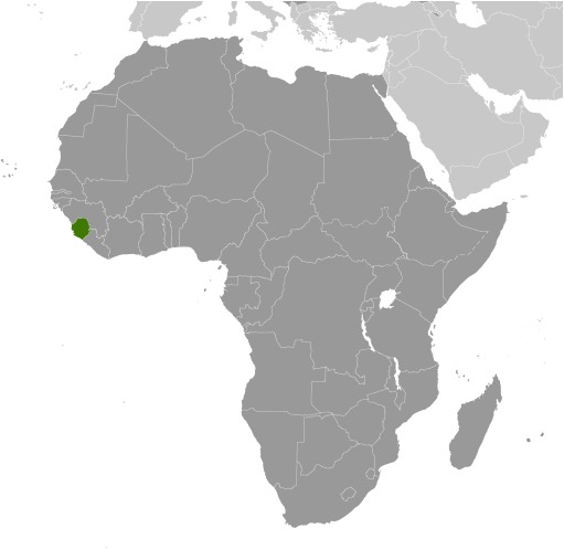
Sierra Leone Facts
Full Official Name: Republic of Sierra Leone
Demonym: Sierra Leonean
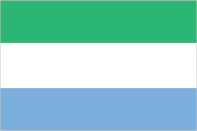
Flag:
Area
Total Area: 71,740 km²
Total Land Area: 71,620 km²
Total Water Area: 120 km²
Demographics
Population: 9,121,049
Population Growth Rate: 2.32% (2024 est.)
Largest City: Freetown (Population: 1,347,559)
Ethnic Groups: Temne 35.4%, Mende 30.8%, Limba 8.8%, Kono 4.3%, Korankoh 4%, Fullah 3.8%, Mandingo 2.8%, Loko 2%, Sherbro 1.9%, Creole 1.2% (descendants of freed Jamaican slaves who were settled in the Freetown area in the late-18th century; also known as Krio), other 5% (2019 est.)
Languages: English (official, regular use limited to literate minority), Mende (principal vernacular in the south), Temne (principal vernacular in the north), Krio (English-based Creole, spoken by the descendants of freed Jamaican slaves; a first language for 10% of the population but understood by 95%)
Religions: Muslim 77.1%, Christian 22.9% (2019 est.)
Economy
Currency: Leone
Real GDP at Purchasing Power Parity ($ PPP): $14.633 billion (2023 est.)
GDP per capita (PPP): $1,700 (2023 est.)
Exports Value Per Year: $1.195 billion (2022 est.)
Biggest Export Partners: China 54%, Belgium 12%, UAE 6%, Germany 4%, Netherlands 4% (2022)
Imports Value Per Year: $2.013 billion (2022 est.)
Biggest Import Partners: China 33%, India 12%, Turkey 9%, US 6%, UAE 5% (2022)
Government
Type: presidential republic
Capital City: Freetown (Population: 1,347,559)
Other Facts
Time Zone: UTC (GMT)
Country Code: SL
Internet TLD: .sl
Climate Map of Sierra Leone

Climate: tropical; hot, humid; summer rainy season (May to December); winter dry season (December to April)
Topographic Map of Sierra Leone