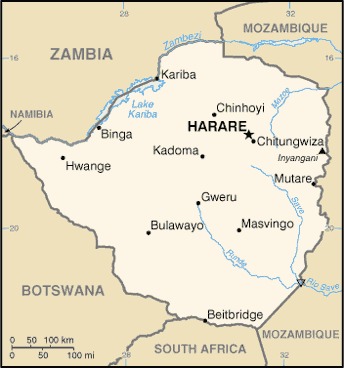
Zimbabwe Location Map
Zimbabwe Facts
Full Official Name: Republic of Zimbabwe
Demonym: Zimbabwean, Zimbo
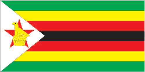
Flag:
Area
Total Area: 390,757 km²
Total Land Area: 386,847 km²
Total Water Area: 3,910 km²
Demographics
Population: 17,150,352
Population Growth Rate: 1.91% (2024 est.)
Largest City: Harare (Population: 1,491,740)
Ethnic Groups: African 99.6% (predominantly Shona; Ndebele is the second largest ethnic group), other (includes Caucasian, Asiatic, mixed race) 0.4% (2022 est.)
Languages: Shona (official, most widely spoken) 80.9%, Ndebele (official, second most widely spoken) 11.5%, English (official, traditionally used for official business) 0.3%, 13 minority languages (official; includes Chewa, Chibarwe, Kalanga, Koisan, Nambya, Ndau, Shangani, sign language, Sotho, Tonga, Tswana, Venda, and Xhosa) 7%, other 0.3% (2022 est.)
Religions: Apostolic Sect 40.3%, Pentecostal 17%, Protestant 13.8%, other Christian 7.8%, Roman Catholic 6.4%, African traditionalist 5%, other 1.5% (includes Muslim, Jewish, Hindu), none 8.3% (2022 est.)
Economy
Currency: Zimbabwe Gold, U.S. dollar, South African rand
Real GDP at Purchasing Power Parity ($ PPP): $58.583 billion (2023 est.)
GDP per capita (PPP): $3,500 (2023 est.)
Exports Value Per Year: $7.65 billion (2022 est.)
Biggest Export Partners: UAE 57%, South Africa 17%, China 7%, Belgium 4%, Mozambique 2% (2022)
Imports Value Per Year: $10.126 billion (2022 est.)
Biggest Import Partners: South Africa 39%, China 15%, Singapore 12%, UAE 6%, Mozambique 4% (2022)
Government
Type: presidential republic
Capital City: Harare (Population: 1,491,740)
Other Facts
Time Zone: UTC+2 (CAT)
Country Code: ZW
Internet TLD: .zw
Climate Map of Zimbabwe

Climate: tropical; moderated by altitude; rainy season (November to March)
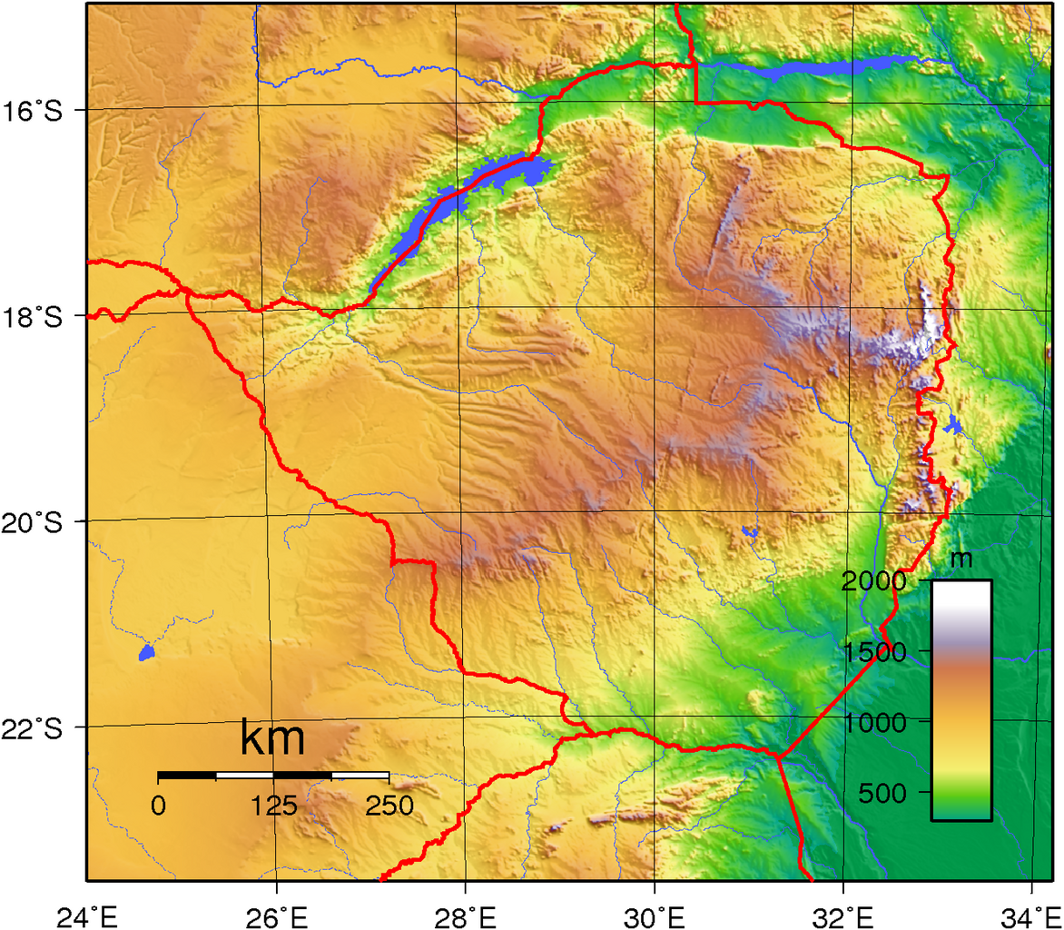
Topographic Map of Zimbabwe