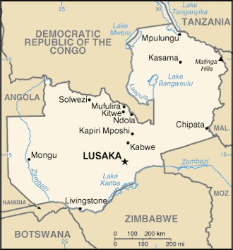
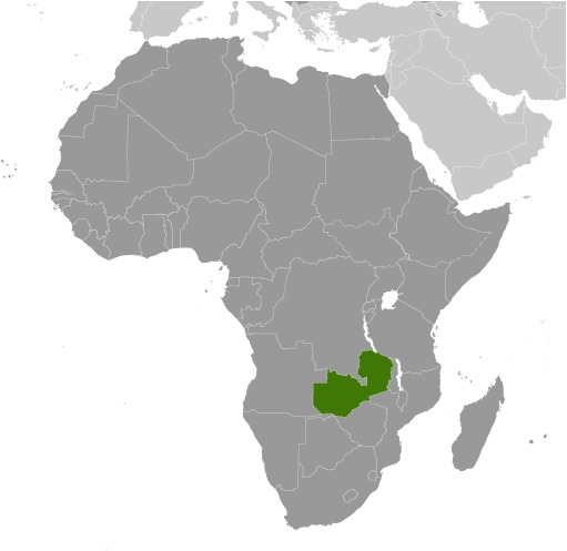
Zambia Location Map
Zambia Facts
Full Official Name: Republic of Zambia
Demonym: Zambian
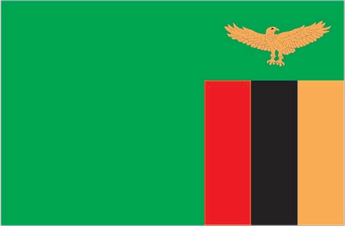
Flag:
Area
Total Area: 752,618 km²
Total Land Area: 743,398 km²
Total Water Area: 9,220 km²
Demographics
Population: 20,799,116
Population Growth Rate: 2.83% (2024 est.)
Largest City: Lusaka (Population: 1,747,152)
Ethnic Groups: Bemba 21%, Tonga 13.6%, Chewa 7.4%, Lozi 5.7%, Nsenga 5.3%, Tumbuka 4.4%, Ngoni 4%, Lala 3.1%, Kaonde 2.9%, Namwanga 2.8%, Lunda (north Western) 2.6%, Mambwe 2.5%, Luvale 2.2%, Lamba 2.1%, Ushi 1.9%, Lenje 1.6%, Bisa 1.6%, Mbunda 1.2%, other 13.8%, unspecified 0.4% (2010 est.)
Languages: Bemba 33.4%, Nyanja 14.7%, Tonga 11.4%, Lozi 5.5%, Chewa 4.5%, Nsenga 2.9%, Tumbuka 2.5%, Lunda (North Western) 1.9%, Kaonde 1.8%, Lala 1.8%, Lamba 1.8%, English (official) 1.7%, Luvale 1.5%, Mambwe 1.3%, Namwanga 1.2%, Lenje 1.1%, Bisa 1%, other 9.7%, unspecified 0.2% (2010 est.)
Religions: Protestant 75.3%, Roman Catholic 20.2%, other 2.7% (includes Muslim, Buddhist, Hindu, and Baha’i), none 1.8% (2010 est.)
Economy
Currency: Zambian kwacha
Real GDP at Purchasing Power Parity ($ PPP): $76.493 billion (2023 est.)
GDP per capita (PPP): $3,700 (2023 est.)
Exports Value Per Year: $12.444 billion (2022 est.)
Biggest Export Partners: Switzerland 30%, China 18%, Democratic Republic of the Congo 10%, Pitcairn Islands 10%, UAE 7% (2022)
Imports Value Per Year: $10.022 billion (2022 est.)
Biggest Import Partners: South Africa 26%, Equatorial Guinea 18%, China 14%, UAE 7%, Democratic Republic of the Congo 6% (2022)
Government
Type: presidential republic
Capital City: Lusaka (Population: 1,747,152)
Other Facts
Time Zone: UTC+2 (CAT)
Country Code: ZM
Internet TLD: .zm
Climate Map of Zambia

Climate: tropical; modified by altitude; rainy season (October to April)
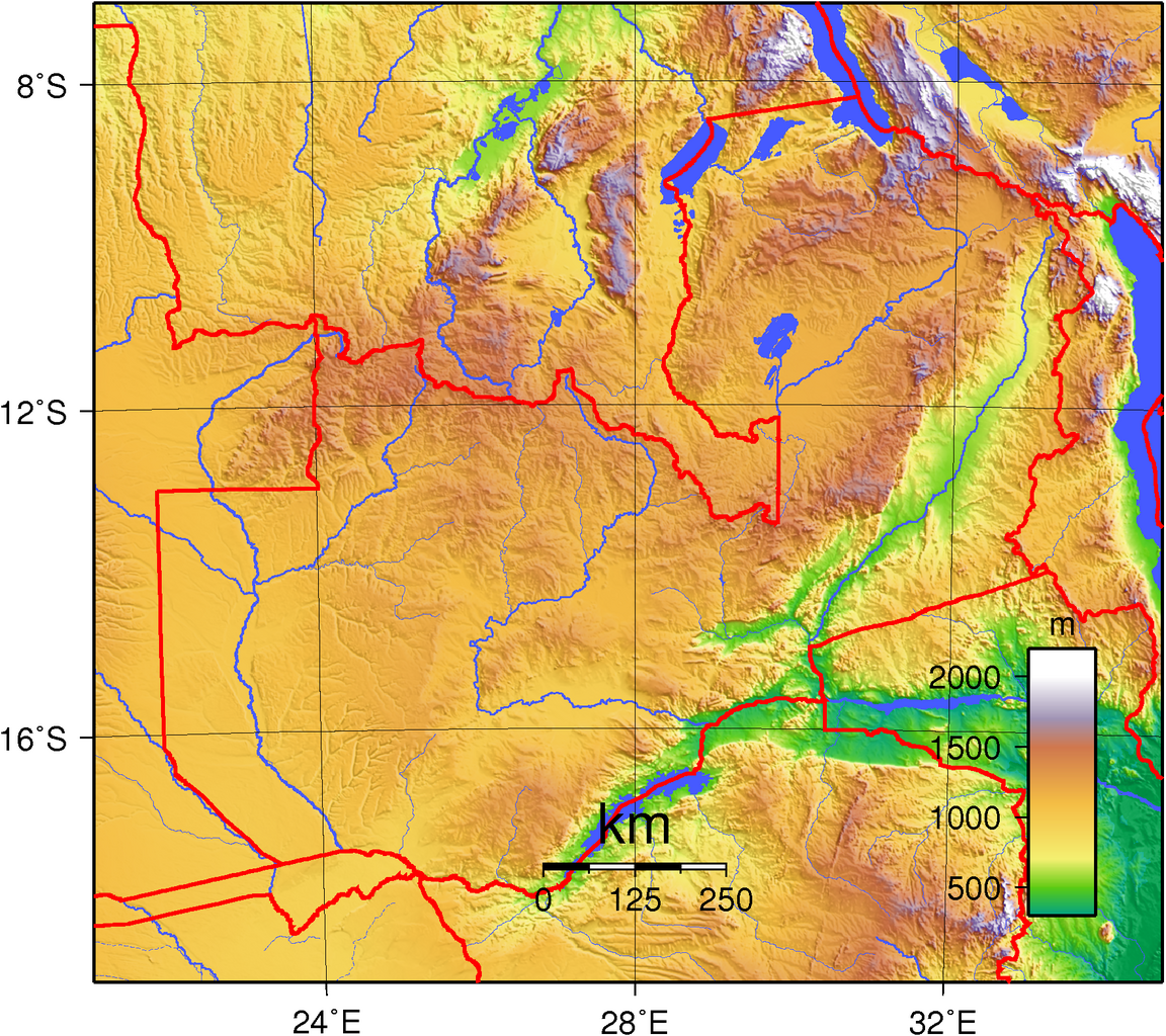
Topographic Map of Zambia