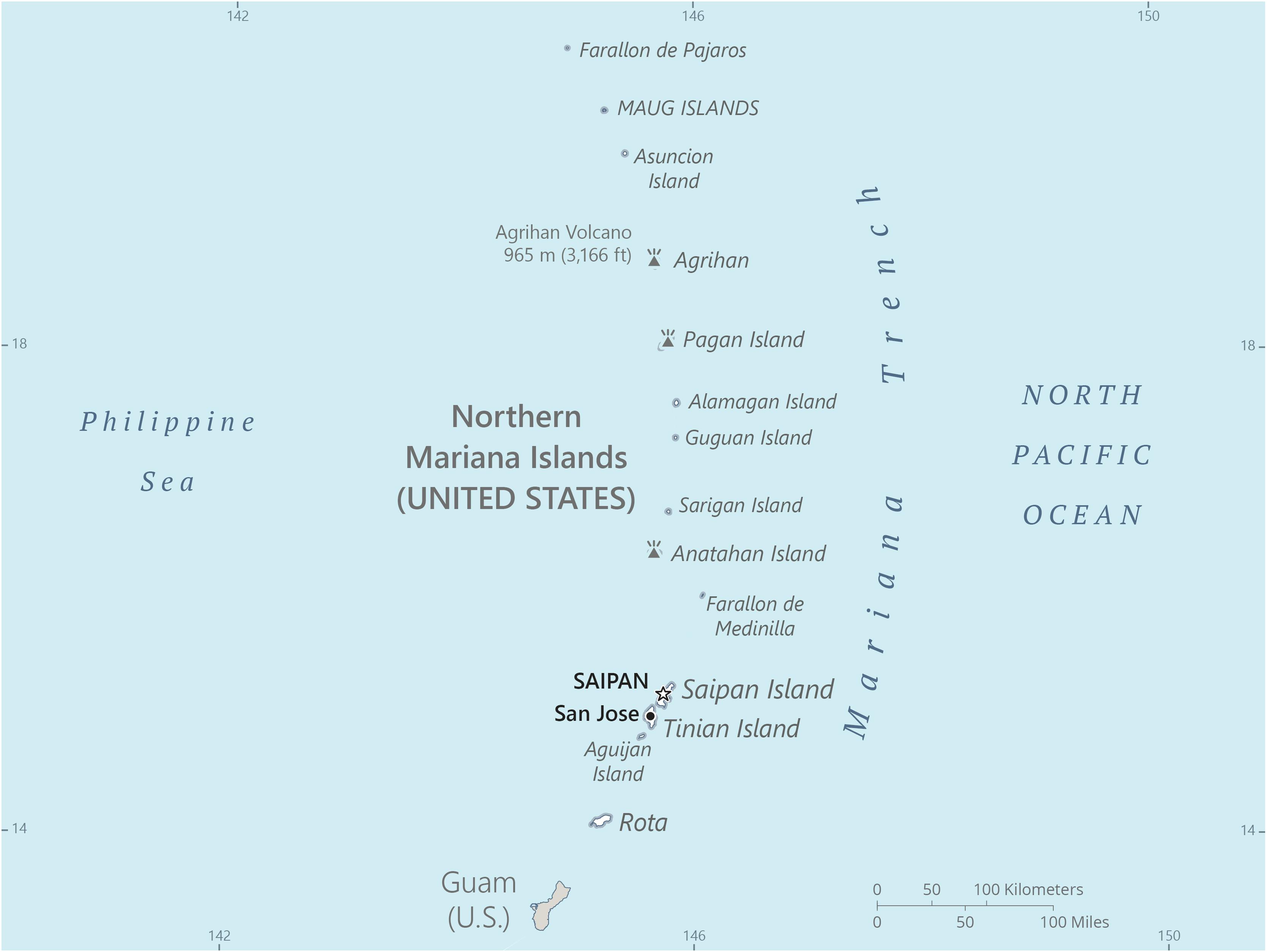
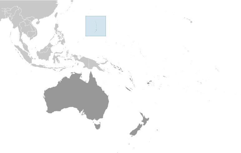
Northern Mariana Islands Location Map
Northern Mariana Islands Facts
Full Official Name: Northern Mariana Islands
Demonym: Northern Mariana Islander (formal), Northern Marianan (other), Marianan (diminutive form), Chamorro
Flag:
Area
Total Area: 464 km²
Total Land Area: 464 km²
Total Water Area: 0 km²
Demographics
Population: 51,118
Population Growth Rate: -0.34% (2024 est.)
Largest City: Saipan (Population: 43,385)
Ethnic Groups: Asian 50% (includes Filipino 35.3%, Chinese 6.8%, Korean 4.2%, and other Asian 3.7%), Native Hawaiian or other Pacific Islander 34.9% (includes Chamorro 23.9%, Carolinian 4.6%, and other Native Hawaiian or Pacific Islander 6.4%), other 2.5%, two or more ethnicities or races 12.7% (2010 est.)
Languages: Philippine languages 32.8%, Chamorro (official) 24.1%, English (official) 17%, other Pacific island languages 10.1% (includes Carolinian (official), Chinese 6.8%, other Asian languages 7.3%, other 1.9% (2010 est.)
Religions: Christian (Roman Catholic majority, although traditional beliefs and taboos may still be found)
Economy
Currency: United States dollar
Real GDP at Purchasing Power Parity ($ PPP): $1.242 billion (2016 est.)
GDP per capita (PPP): $24,500 (2016 est.)
Exports Value Per Year: $128 million (2020 est.)
Biggest Export Partners: South Korea 48%, Thailand 9%, Germany 6%, Cyprus 6%, India 6% (2022)
Imports Value Per Year: $536 million (2020 est.)
Biggest Import Partners: Singapore 42%, Japan 20%, South Korea 16%, Hong Kong 7%, Taiwan 3% (2022)
Government
Type: a commonwealth in political union with and under the sovereignty of the US; republican form of government with separate executive, legislative, and judicial branches
Capital City: Saipan (Population: 43,385)
Other Facts
Time Zone: UTC+10 (ChST)
Country Code: MP, US-MP
Internet TLD: .mp
Climate Map of Northern Mariana Islands

Climate: tropical marine; moderated by northeast trade winds, little seasonal temperature variation; dry season December to June, rainy season July to October
Topographic Map of Northern Mariana Islands