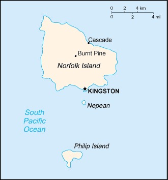
Norfolk Island Location Map
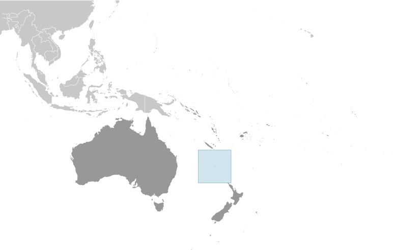
Norfolk Island Facts
Full Official Name: Territory of Norfolk Island
Demonym: Norfolk Islander
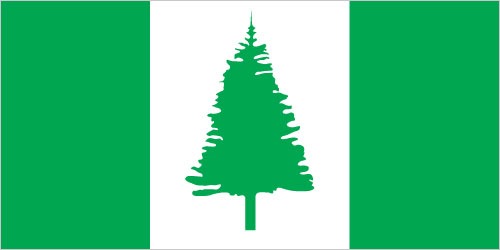
Flag:
Area
Total Area: 36 km²
Total Land Area: 36 km²
Total Water Area: 0 km²
Demographics
Population: 1,748
Population Growth Rate: 0.01% (2014 est.)
Largest City: Burnt Pine (Population: 180)
Ethnic Groups: Australian 22.8%, English 22.4%, Pitcairn Islander 20%, Scottish 6%, Irish 5.2% (2011 est.)
Languages: English (official) 44.9%, Norfolk (official, a mixture of 18th century English and ancient Tahitian) 40.3%, Fijian 1.8%, other 6.8%, unspecified 6.2% (2016 est.)
Religions: Protestant 46.8% (Anglican 29.2%, Uniting Church in Australia 9.8%, Presbyterian 2.9%, Seventh Day Adventist 2.7%, other 2.2%), Roman Catholic 12.6%, other Christian 2.9%, other 1.4%, none 26.7%, unspecified 9.5% (2016 est.)
Economy
Currency: Australian dollar
Real GDP at Purchasing Power Parity ($ PPP): N/A
GDP per capita (PPP): N/A
Exports Value Per Year: N/A
Biggest Export Partners: India 16%, Belgium 14%, US 14%, Malaysia 13%, Singapore 10% (2022)
Imports Value Per Year: N/A
Biggest Import Partners: Australia 34%, Philippines 19%, NZ 17%, Fiji 9%, Brazil 7% (2022)
Government
Type: non-self-governing overseas territory of Australia; note – the Norfolk Island Regional Council, which began operations 1 July 2016, is responsible for planning and managing a variety of public services, including those funded by the Government of Australia
Capital City: Kingston (Population: 341)
Other Facts
Time Zone: UTC+11:00 (NFT), UTC+12:00 (NFDT) (DST)
Country Code: NF
Internet TLD: .nf
Climate Map of Norfolk Island

Climate: subtropical; mild, little seasonal temperature variation
Topographic Map of Norfolk Island