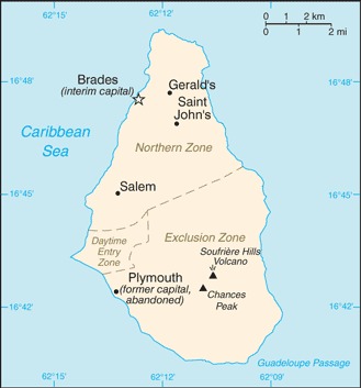
Montserrat Location Map
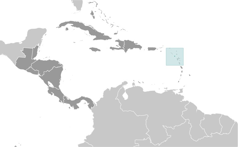
Montserrat Facts
Full Official Name: Montserrat
Demonym: Montserratian
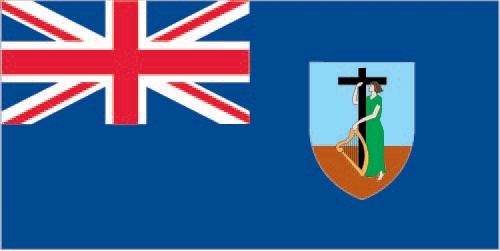
Flag:
Area
Total Area: 102 km²
Total Land Area: 102 km²
Total Water Area: 0 km²
Demographics
Population: 5,468
Population Growth Rate: 0.59% (2024 est.)
Largest City: Brades (Population: 1000)
Ethnic Groups: African/Black 86.2%, mixed 4.8%, Hispanic/Spanish 3%, Caucasian/White 2.7%, East Indian/Indian 1.6%, other 1.8% (2018 est.)
Languages: English
Religions: Protestant 71.4% (includes Anglican 17.7%, Pentecostal/Full Gospel 16.1%, Seventh Day Adventist 15%, Methodist 13.9%, Church of God 6.7%, other Protestant 2%), Roman Catholic 11.4%, Rastafarian 1.4%, Hindu 1.2%, Jehovah’s Witness 1%, Muslim 0.4%, other/not stated 5.1%, none 7.9% (2018 est.)
Economy
Currency: East Caribbean dollar
Real GDP at Purchasing Power Parity ($ PPP): N/A
GDP per capita (PPP): N/A
Exports Value Per Year: $11.9 million (2021 est.)
Biggest Export Partners: US 23%, France 21%, Antigua and Barbuda 19%, Ireland 15%, UK 7% (2022)
Imports Value Per Year: $15.3 million (2021 est.)
Biggest Import Partners: US 54%, UK 8%, Singapore 4%, Antigua and Barbuda 4%, Trinidad and Tobago 4% (2022)
Government
Type: parliamentary democracy; self-governing overseas territory of the UK
Capital City: Plymouth; note – Plymouth was abandoned in 1997 because of volcanic activity; interim government buildings have been built at Brades Estate, the de facto capital, in the Carr’s Bay/Little Bay vicinity at the northwest end of Montserrat (Population: 1000)
Other Facts
Time Zone: UTC-4:00 (AST)
Country Code: MS
Internet TLD: .ms
Climate Map of Montserrat

Climate: tropical; little daily or seasonal temperature variation
Topographic Map of Montserrat
