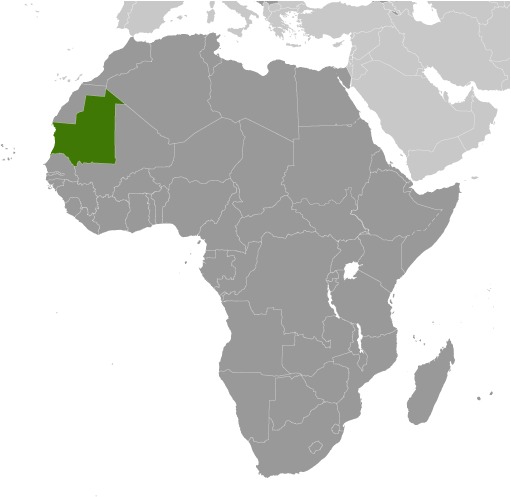
Mauritania Location Map
Mauritania Facts
Full Official Name: Islamic Republic of Mauritania
Demonym: Mauritanian
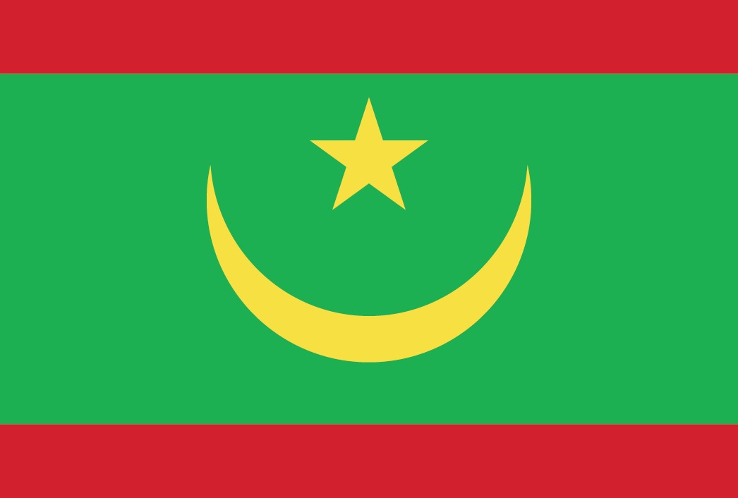
Flag:
Area
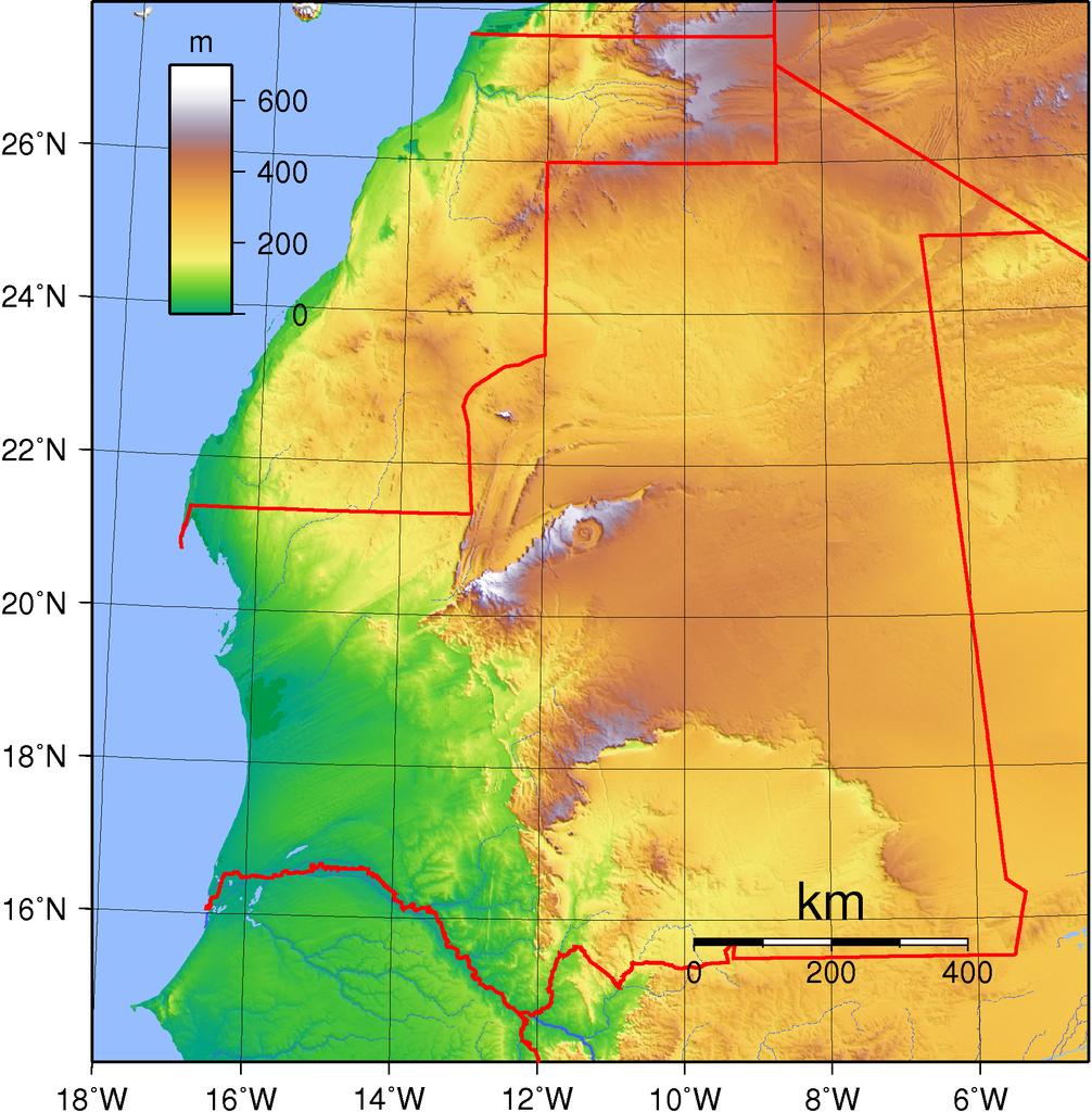
Total Area: 1,030,700 km²
Total Land Area: 1,030,700 km²
Total Water Area: 0 km²
Demographics
Population: 4,328,040
Population Growth Rate: 1.92% (2024 est.)
Largest City: Nouakchott (Population: 1,195,600)
Ethnic Groups: Black Moors (Haratines – Arabic-speaking descendants of African origin who are or were enslaved by White Moors) 40%, White Moors (of Arab-Amazigh descent, known as Beydane) 30%, Sub-Saharan Mauritanians (non-Arabic speaking, largely resident in or originating from the Senegal River Valley, including Halpulaar, Fulani, Soninke, Wolof, and Bambara ethnic groups) 30%
Languages: Arabic (official and national), Pular, Soninke, Wolof (all national languages), French
Religions: Muslim (official) 100%
Economy
Currency: Ouguiya
Real GDP at Purchasing Power Parity ($ PPP): $30.395 billion (2023 est.)
GDP per capita (PPP): $6,300 (2023 est.)
Exports Value Per Year: $4.132 billion (2022 est.)
Biggest Export Partners: China 24%, Canada 12%, UAE 12%, Spain 9%, Turkey 6% (2022)
Imports Value Per Year: $5.77 billion (2022 est.)
Biggest Import Partners: China 18%, Spain 7%, Morocco 6%, UAE 6%, Indonesia 6% (2022)
Government
Type: presidential republic
Capital City: Nouakchott (Population: 1,195,600)
Other Facts
Time Zone: UTC (GMT)
Country Code: MR
Internet TLD: .mr
Climate Map of Mauritania

Climate: desert; constantly hot, dry, dusty
Topographic Map of Mauritania