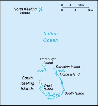
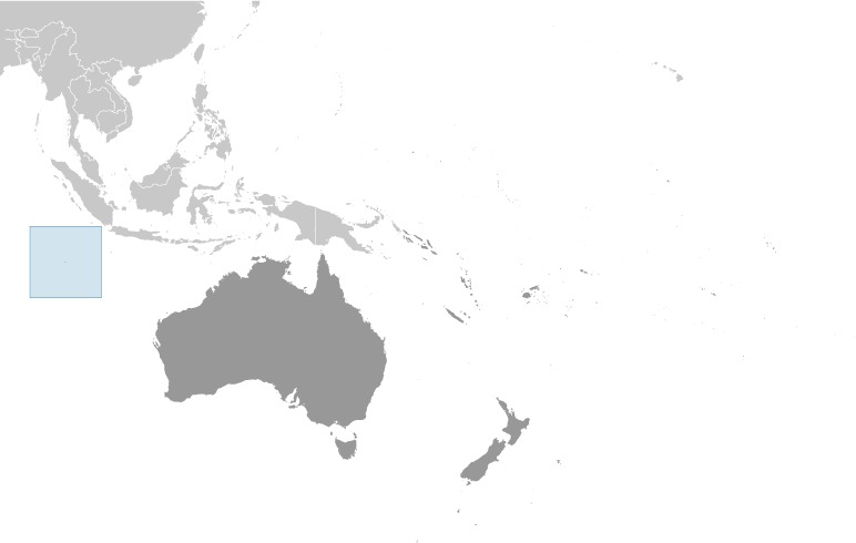
Cocos (Keeling) Islands Location Map
Cocos (Keeling) Islands Facts
Full Official Name: Territory of Cocos (Keeling) Islands
Demonym: N/A
Flag:
Area
Total Area: 14 km²
Total Land Area: 14 km²
Total Water Area: 0 km²
Demographics
Population: 593
Population Growth Rate: N/A
Largest City: Bantam (Population: 448)
Ethnic Groups: Europeans, Cocos Malays
Languages: Malay (Cocos dialect) 68.8%, English 22.3%, unspecified 8.9%; note – data represent language spoken at home (2016 est.)
Religions: Muslim (predominantly Sunni) 75%, Anglican 3.5%, Roman Catholic 2.2%, none 12.9%, unspecified 6.3% (2016 est.)
Economy
Currency: Australian dollar
Real GDP at Purchasing Power Parity ($ PPP): N/A
GDP per capita (PPP): N/A
Exports Value Per Year: N/A
Biggest Export Partners: US 45%, UK 12%, France 7%, Canada 6%, Poland 5% (2022)
Imports Value Per Year: N/A
Biggest Import Partners: Australia 75%, US 18%, Netherlands 2%, UK 2%, Turkey 1% (2022)
Government
Type: non-self-governing overseas territory of Australia
Capital City: West Island (Population: 120)
Other Facts
Time Zone: UTC+06:30
Country Code: CC
Internet TLD: .cc
Climate Map of Cocos (Keeling) Islands

Climate: tropical with high humidity, moderated by the southeast trade winds for about nine months of the year
Topographic Map of Cocos (Keeling) Islands