One of CIA’s oldest and most recognizable intelligence publications, The World Factbook, has sunset. The World Factbook served the Intelligence Community and the general public as a longstanding, one-stop basic reference about countries and communities around the globe.
Link to the History of The World Factbook.
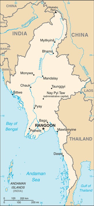
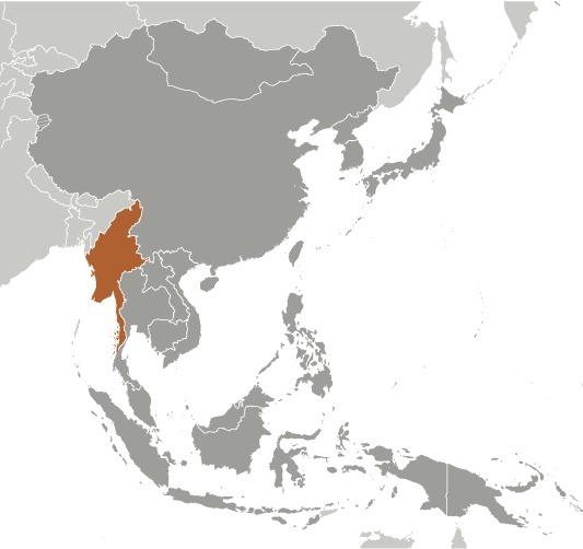
Where is Myanmar/Burma? Location Map
More maps of Myanmar created by the CIA (note the CIA still refers to the country as Burma):
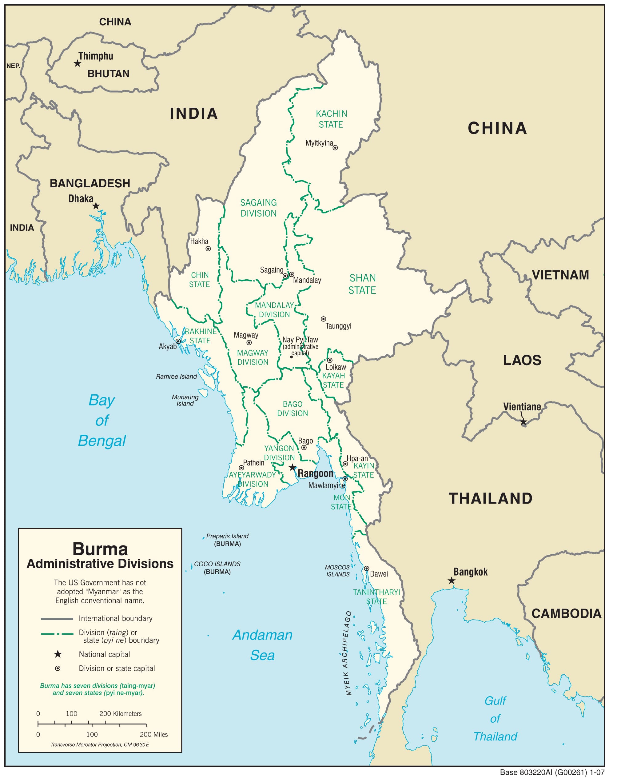
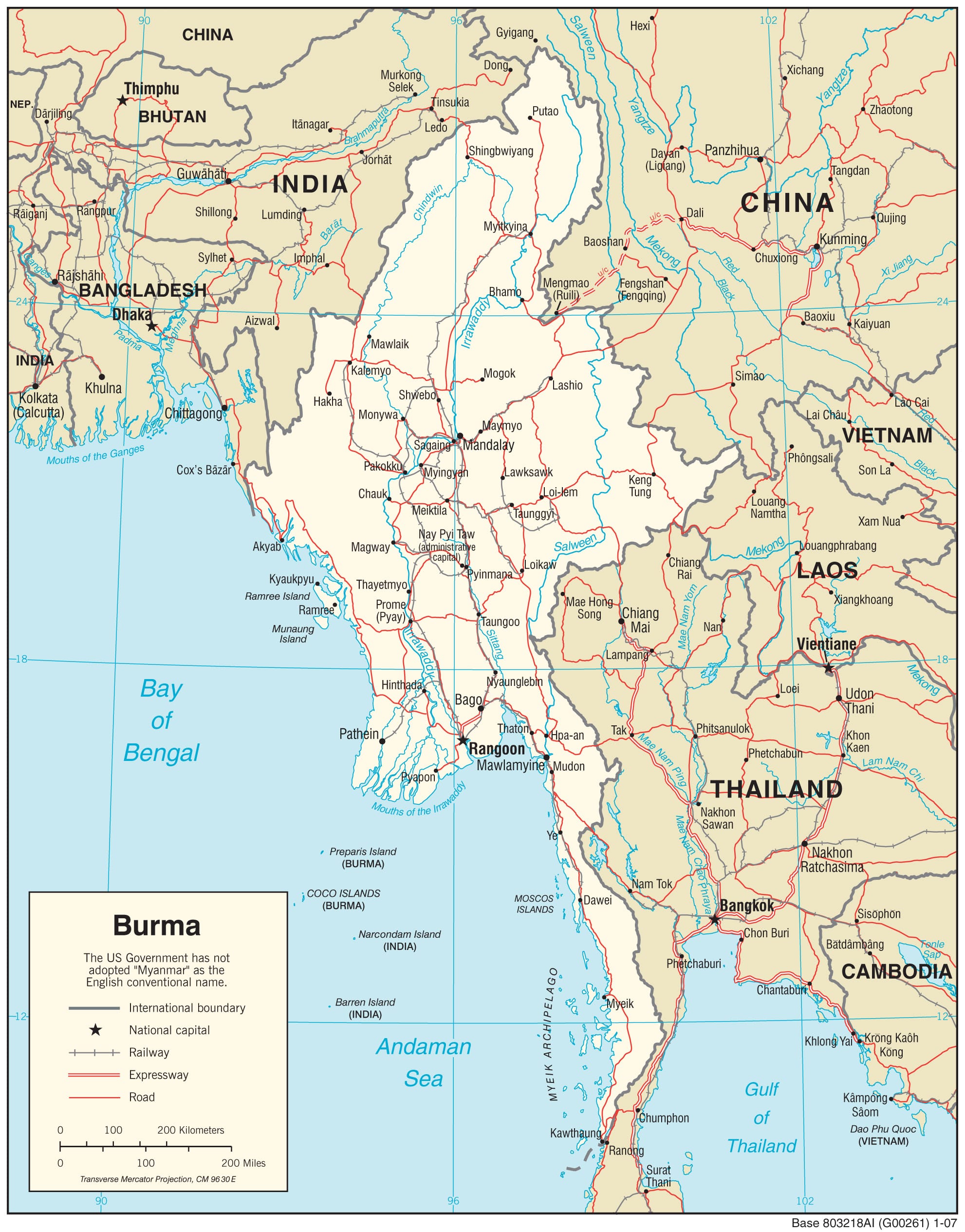
Myanmar (Burma) Administrative Map
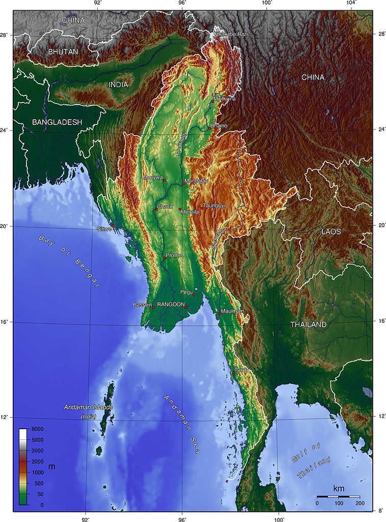
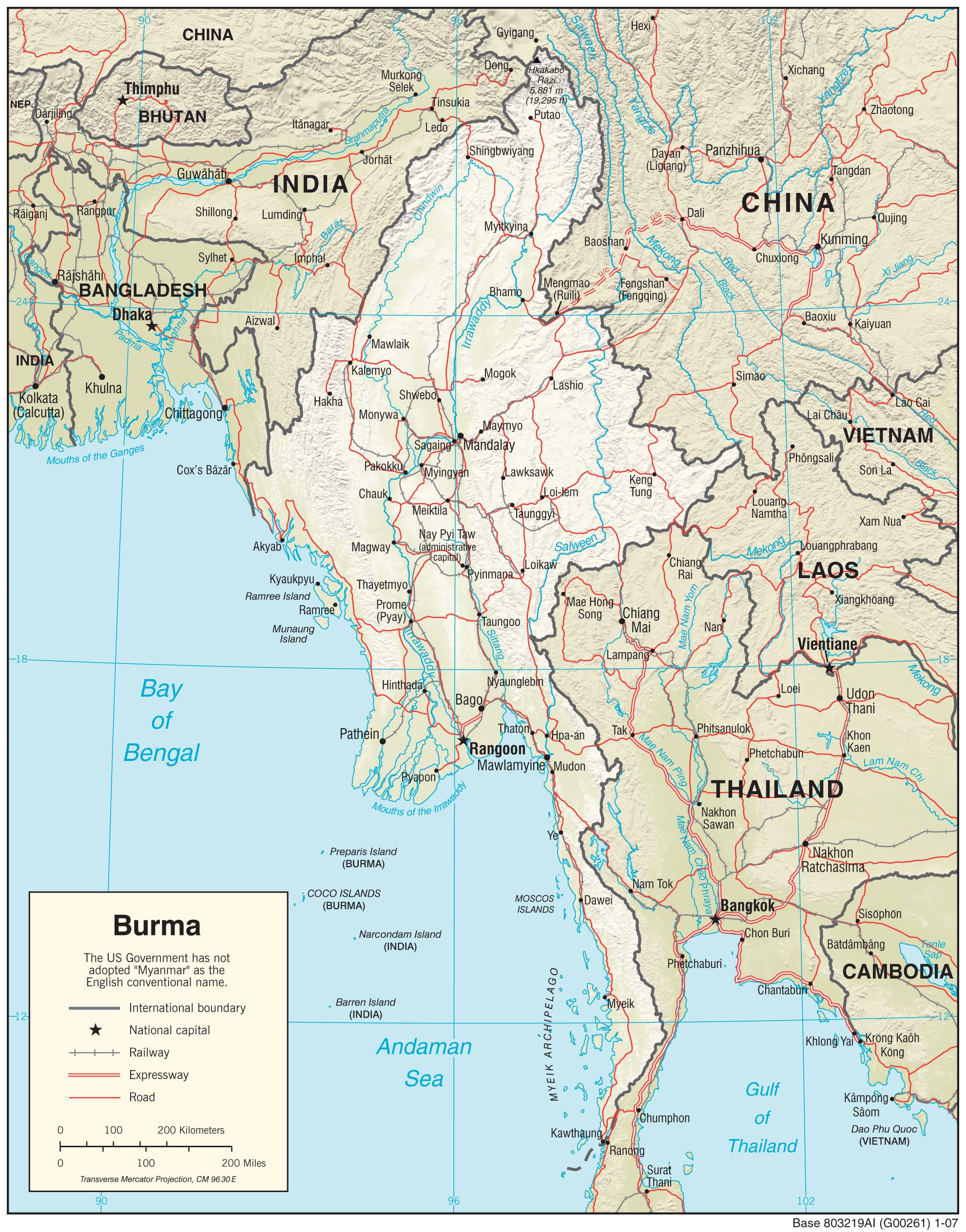
Myanmar Physiography Map
Myanmar Transportation Map
Myanmar (Burma) Facts
Full Official Name: Republic of the Union of Myanmar
Demonym: Burmese, Myanma
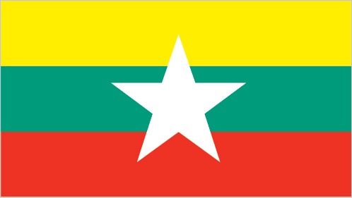
Flag:
Area
Total Area: 676,578 km²
Total Land Area: 653,508 km²
Total Water Area: 23070 km²
Demographics
Population: 57,527,139
Population Growth Rate: 0.71% (2024 est.)
Largest City: Yangon (Rangoon) (Population: 5,160,512)
Ethnic Groups: Burman (Bamar) 68%, Shan 9%, Karen 7%, Rakhine 4%, Chinese 3%, Indian 2%, Mon 2%, other 5%
Languages: Burmese (official)
Religions: Buddhist 87.9%, Christian 6.2%, Muslim 4.3%, Animist 0.8%, Hindu 0.5%, other 0.2%, none 0.1% (2014 est.)
Economy
Currency: Kyat
Real GDP at Purchasing Power Parity ($ PPP): $290.507 billion (2023 est.)
GDP per capita (PPP): $5,300 (2023 est.)
Exports Value Per Year: $20.4 billion (2021 est.)
Biggest Export Partners: China 36%, Thailand 13%, Germany 6%, Japan 6%, US 4% (2022)
Imports Value Per Year: $23.1 billion (2021 est.)
Biggest Import Partners: China 45%, Thailand 16%, Singapore 14%, Malaysia 4%, Indonesia 4% (2022)
Government
Type: military regime
Capital City: Rangoon (aka Yangon, continues to be recognized as the primary Burmese capital by the US Government); Nay Pyi Taw is the administrative capital (Population: 924,608)
Other Facts
Time Zone: UTC+06:30 (MMT)
Country Code: MM
Internet TLD: .mm
Climate: tropical monsoon; cloudy, rainy, hot, humid summers (southwest monsoon, June to September); less cloudy, scant rainfall, mild temperatures, lower humidity during winter (northeast monsoon, December to April)
Topographic Map of Myanmar (Burma)