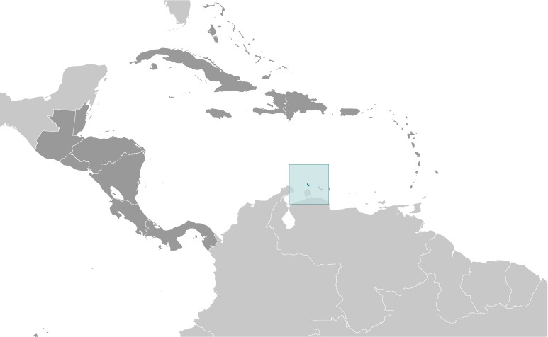
Aruba Location Map
Aruba Facts
Full Official Name: Country of Aruba
Demonym: Aruban
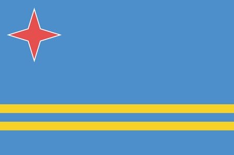
Flag:
Area
Total Area: 180 km²
Total Land Area: 180 km²
Total Water Area: 0 km²
Demographics
Population: 125,063
Population Growth Rate: 1.08% (2024 est.)
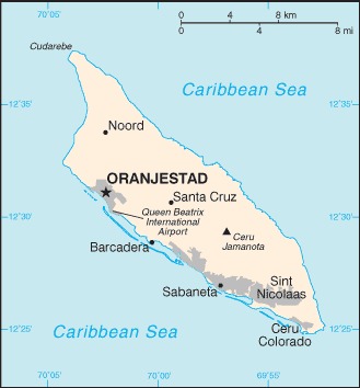
Largest City: Oranjestad (Population: 28,658)
Ethnic Groups: Dutch 78.7%, Colombian 6.6%, Venezuelan 5.5%, Dominican 2.8%, Haitian 1.3%, other 5.1% (2020 est.)
Languages: Papiamento (official) (a creole language that mixes Portuguese, Spanish, Dutch, English, French, African languages, and Arawak) 69.4%, Spanish 13.7%, English (widely spoken) 7.1%, Dutch (official) 6.1%, Chinese 1.5%, other 1.7%, unspecified 0.4% (2010 est.)
Religions: Roman Catholic 75.3%, Protestant 4.9% (includes Methodist 0.9%, Adventist 0.9%, Anglican 0.4%, other Protestant 2.7%), Jehovah’s Witness 1.7%, other 12%, none 5.5%, unspecified 0.5% (2010 est.)
Economy
Currency: Aruban florin
Real GDP at Purchasing Power Parity ($ PPP): $4.498 billion (2022 est.)
GDP per capita (PPP): $42,300 (2022 est.)
Exports Value Per Year: $2.853 billion (2022 est.)
Biggest Export Partners: Colombia 40%, US 12%, Jordan 11%, Guyana 8%, Netherlands 6% (2022)
Imports Value Per Year: $2.429 billion (2022 est.)
Biggest Import Partners: US 39%, Netherlands 11%, Guyana 9%, Colombia 8%, China 5% (2022)
Government
Type: parliamentary democracy; part of the Kingdom of the Netherlands
Capital City: Oranjestad (Population: 28,658)
Other Facts
Time Zone: UTC−4:00 (AST)
Country Code: AW, NL-AW
Internet TLD: .aw
Climate Map of Aruba

Climate: tropical marine; little seasonal temperature variation
Topographic Map of Aruba