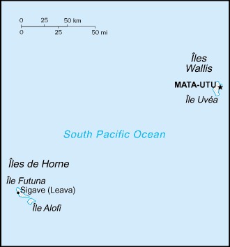
Wallis and Futuna Location Map
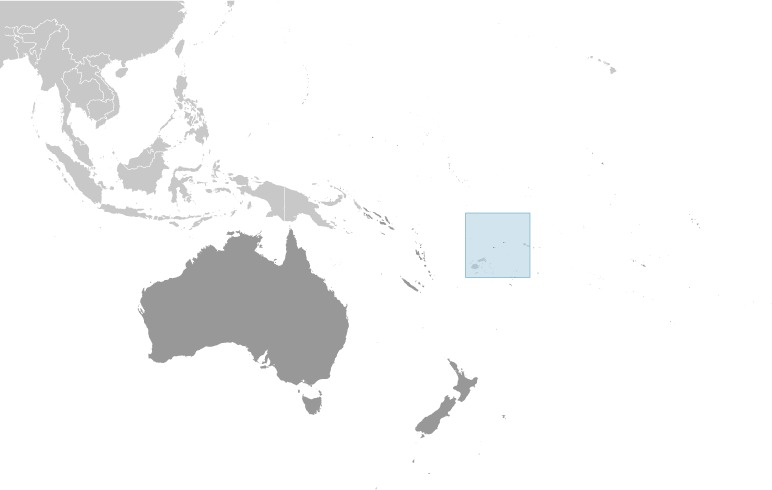
Wallis and Futuna Facts
Full Official Name: Territory of the Wallis and Futuna Islands
Demonym: Wallisian, Futunan
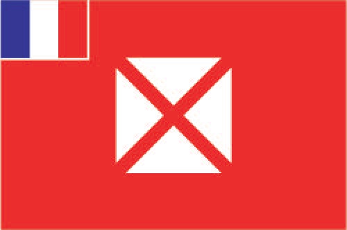
Flag:
Area
Total Area: 142 km²
Total Land Area: 142 km²
Total Water Area: 0 km²
Demographics
Population: 15,964
Population Growth Rate: 0.22% (2024 est.)
Largest City: Mata Utu (Population: 1,029)
Ethnic Groups: Polynesian
Languages: Wallisian (indigenous Polynesian language) 58.9%, Futunian 30.1%, French (official) 10.8%, other 0.2% (2003 est.)
Religions: Roman Catholic 99%, other 1%
Economy
Currency: CFP franc
Real GDP at Purchasing Power Parity ($ PPP): N/A
GDP per capita (PPP): N/A
Exports Value Per Year: N/A
Biggest Export Partners: France 48%, Singapore 12%, US 10%, Guatemala 9%, UK 4% (2022)
Imports Value Per Year: N/A
Biggest Import Partners: Fiji 38%, France 31%, NZ 8%, Iceland 6%, Australia 5% (2022)
Government
Type: parliamentary democracy (Territorial Assembly); overseas collectivity of France
Capital City: Mata-Utu (on Ile Uvea) (Population: 1,029)
Other Facts
Time Zone: UTC+12:00
Country Code: WF, FR-WF
Internet TLD: .wf, .fr
Climate Map of Wallis and Futuna

Climate: tropical; hot, rainy season (November to April); cool, dry season (May to October); rains 250-300 cm per year (80% humidity); average temperature 26.6 degrees Celsius
Topographic Map of Wallis and Futuna