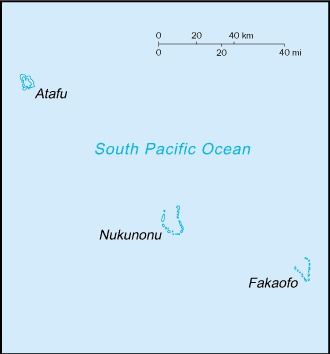
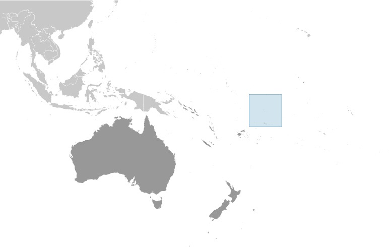
Tokelau Location Map
Tokelau Facts
Full Official Name: Tokelau Islands
Demonym: Tokelauan
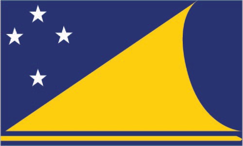
Flag:
Area
Total Area: 12 km²
Total Land Area: 12 km²
Total Water Area: 0 km²
Demographics
Population: 1,647
Population Growth Rate: -0.01% (2019 est.)
Largest City: Atafu (Population: 541)
Ethnic Groups: Tokelauan 64.5%, part Tokelauan/Samoan 9.7%, part Tokelauan/Tuvaluan 2.8%, Tuvaluan 7.5%, Samoan 5.8%, other Pacific Islander 3.4%, other 5.6%, unspecified 0.8% (2016 est.)
Languages: Tokelauan 88.1% (a Polynesian language), English 48.6%, Samoan 26.7%, Tuvaluan 11.2%, Kiribati 1.5%, other 2.8%, none 2.8%, unspecified 0.8% (2016 ests.)
Religions: Congregational Christian Church 50.4%, Roman Catholic 38.7%, Presbyterian 5.9%, other Christian 4.2%, unspecified 0.8% (2016 est.)
Economy
Currency: New Zealand dollar
Real GDP at Purchasing Power Parity ($ PPP): $7,711,583 (2017 est.)
GDP per capita (PPP): $6,004 (2017 est.)
Exports Value Per Year: $103,000 (2015 est.)
Biggest Export Partners: Poland 97%, Singapore 0%, Brazil 0%, South Africa 0%, Rwanda 0% (2022)
Imports Value Per Year: $15,792,720 (2015 est.)
Biggest Import Partners: Germany 40%, Sweden 10%, Singapore 8%, France 5%, Netherlands 5% (2022)
Government
Type: parliamentary democracy under a constitutional monarchy
Capital City: no designated, official capital for Tokelau (Population: 541)
Other Facts
Time Zone: UTC+13:00
Country Code: TK
Internet TLD: .tk
Climate Map of Tokelau

Climate: tropical; moderated by trade winds (April to November)
Topographic Map of Tokelau