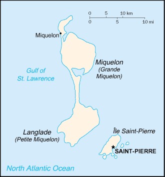
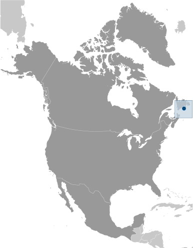
Saint Pierre and Miquelon Location Map
Saint Pierre and Miquelon Facts
Full Official Name: Overseas Collectivity of Saint-Pierre and Miquelon
Demonym: Saint-Pierrais, Miquelonnais, Pierrian
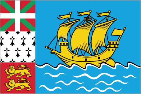
Flag:
Area
Total Area: 242 km²
Total Land Area: 242 km²
Total Water Area: 0 km²
Demographics
Population: 5,132
Population Growth Rate: -1.21% (2024 est.)
Largest City: Saint-Pierre (Population: 5,394)
Ethnic Groups: Saint Pierre and MiquelonBasques and Bretons (French fishermen)
Languages: French (official)
Religions: Roman Catholic 99%, other 1%
Economy
Currency: Euro, Canadian dollar
Real GDP at Purchasing Power Parity ($ PPP): $261.3 million (2015 est.)
GDP per capita (PPP): N/A
Exports Value Per Year: N/A
Biggest Export Partners: Canada 84%, France 11%, Ireland 3%, Slovakia 1%, Democratic Republic of the Congo 0% (2022)
Imports Value Per Year: N/A
Biggest Import Partners: France 52%, Canada 42%, Netherlands 2%, Germany 1%, Belgium 1% (2022)
Government
Type: parliamentary democracy (Territorial Council); overseas collectivity of France
Capital City: Saint-Pierre (Population: 5,394)
Other Facts
Time Zone: UTC−03:00, UTC−02:00 (DST)
Country Code: PM, FR-PM
Internet TLD: .pm
Climate Map of Saint Pierre and Miquelon

Climate: cold and wet, with considerable mist and fog; spring and autumn are often windy
Topographic Map of Saint Pierre and Miquelon