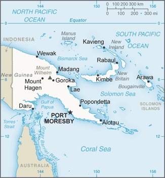
Papua New Guinea Location Map
Papua New Guinea Facts
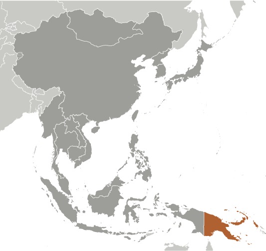
Full Official Name: Independent State of Papua New Guinea
Demonym: Papua New Guinean, Papuan
Flag:
Area
Total Area: 462,840 km²
Total Land Area: 452,860 km²
Total Water Area: 9,980 km²
Demographics
Population: 10,046,233
Population Growth Rate: 2.26% (2024 est.)
Largest City: Port Moresby (Population: 364,145)
Ethnic Groups: Melanesian, Papuan, Negrito, Micronesian, Polynesian
Languages: Tok Pisin (official), English (official), Hiri Motu (official), some 839 living indigenous languages are spoken (about 12% of the world’s total)
Religions: Protestant 64.3% (Evangelical Lutheran 18.4%, Seventh Day Adventist 12.9%, Pentecostal 10.4%, United Church 10.3%, Evangelical Alliance 5.9%, Anglican 3.2%, Baptist 2.8%, Salvation Army 0.4%), Roman Catholic 26%, other Christian 5.3%, non-Christian 1.4%, unspecified 3.1% (2011 est.)
Economy
Currency: Kina
Real GDP at Purchasing Power Parity ($ PPP): $42.9 billion (2023 est.)
GDP per capita (PPP): $4,200 (2023 est.)
Exports Value Per Year: $11.625 billion (2021 est.)
Biggest Export Partners: Japan 26%, China 22%, Australia 11%, South Korea 10%, Taiwan 9% (2022)
Imports Value Per Year: $6.303 billion (2021 est.)
Biggest Import Partners: China 26%, Australia 23%, Singapore 16%, Malaysia 9%, Indonesia 4% (2022)
Government
Type: parliamentary democracy under a constitutional monarchy; a Commonwealth realm
Capital City: Port Moresby (Population: 364,145)
Other Facts
Time Zone: UTC+10, +11 (PNGST)
Country Code: PG
Internet TLD: .pg
Climate Map of Papua New Guinea

Climate: tropical; northwest monsoon (December to March), southeast monsoon (May to October); slight seasonal temperature variation
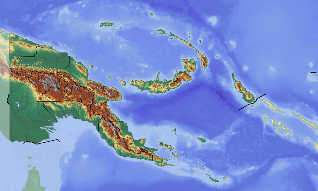
Topographic Map of Papua New Guinea