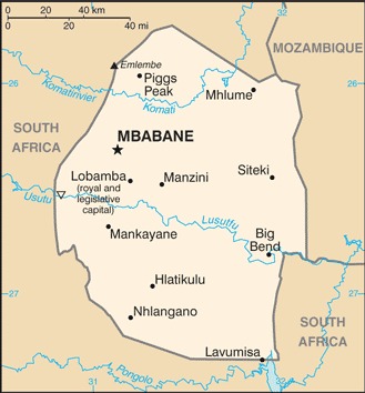
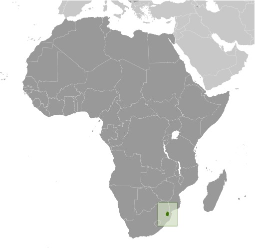
Eswatini Location Map
Eswatini Facts
Full Official Name: Kingdom of Eswatini
Demonym: Swazi
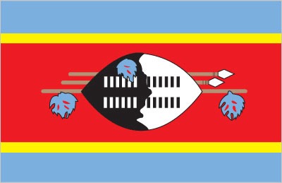
Flag:
Area
Total Area: 17,364 km²
Total Land Area: 17,204 km²
Total Water Area: 160 km²
Demographics
Population: 1,138,089
Population Growth Rate: 0.7% (2024 est.)
Largest City: Mbabane (Population: 94,874)
Ethnic Groups: predominantly Swazi; smaller populations of other African ethnic groups, including the Zulu, as well as people of European ancestry
Languages: English (official, used for government business), siSwati (official)
Religions: Christian 90% (Zionist – a blend of Christianity and traditional African religions – 40%, Roman Catholic 20%, other Christian 30% – includes Anglican, Methodist, Church of Jesus Christ, Jehovah’s Witness), Muslim 2%, other 8% (includes Baha’i, Buddhist, Hindu, indigenous, Jewish) (2015 est.)
Economy
Currency: Lilangeni, South African rand
Real GDP at Purchasing Power Parity ($ PPP): $12.814 billion (2023 est.)
GDP per capita (PPP): $10,600 (2023 est.)
Exports Value Per Year: $2.095 billion (2022 est.)
Biggest Export Partners: South Africa 66%, Kenya 5%, Nigeria 3%, Democratic Republic of the Congo 3%, Mozambique 3% (2022)
Imports Value Per Year: $2.288 billion (2022 est.)
Biggest Import Partners: South Africa 76%, China 4%, US 3%, Mozambique 3%, Mauritania 3% (2022)
Government
Type: absolute monarchy
Capital City: Mbabane (administrative capital); Lobamba (royal and legislative capital) (Population: 94,874)
Other Facts
Time Zone: UTC+2 (SAST)
Country Code: SZ
Internet TLD: .sz
Climate Map of Eswatini

Climate: varies from tropical to near temperate
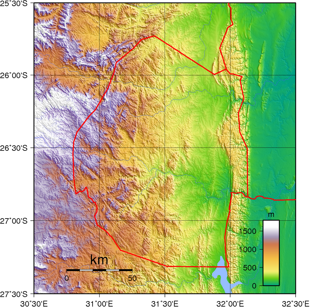
Topographic Map of Eswatini