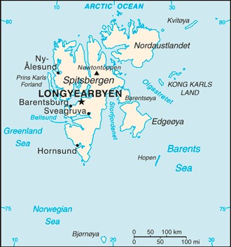
Svalbard Location Map
Svalbard Facts
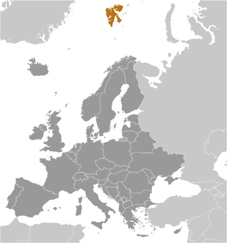
Full Official Name: Svalbard
Demonym: N/A
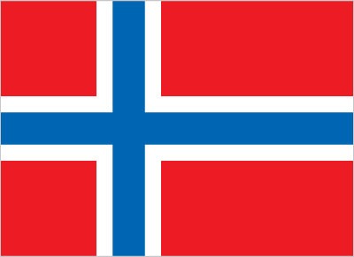
Flag:
Area
Total Area: 62,045 km²
Total Land Area: 62,045 km²
Total Water Area: 0 km²
Demographics
Population: 2,926
Population Growth Rate: -0.03% (2019 est.)
Largest City: Longyearbyen (Population: 1,753)
Ethnic Groups: Norwegian 61.1%, foreign population 38.9% (consists primarily of Russians, Thais, Swedes, Filipinos, and Ukrainians) (2021 est.)
Languages: Norwegian, Russian
Religions: N/A
Economy
Currency: Norwegian krone
Real GDP at Purchasing Power Parity ($ PPP): N/A
GDP per capita (PPP): N/A
Exports Value Per Year: N/A
Biggest Export Partners: N/A
Imports Value Per Year: N/A
Biggest Import Partners: N/A
Government
Type: non-self-governing territory of Norway
Capital City: Longyearbyen (Population: 1,753)
Other Facts
Time Zone: UTC+1 (CET), UTC+2 (CEST) (DST)
Country Code: SJ, NO-21
Internet TLD: .no, .sj
Climate Map of Svalbard

Climate: arctic, tempered by warm North Atlantic Current; cool summers, cold winters; North Atlantic Current flows along west and north coasts of Spitsbergen, keeping water open and navigable most of the year
Topographic Map of Svalbard
