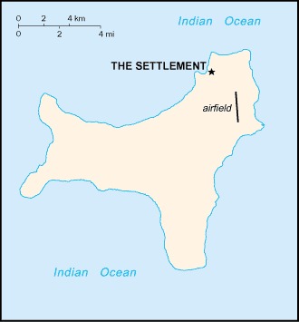
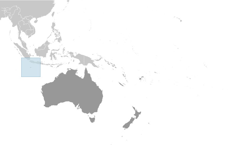
Christmas Island Location Map
Christmas Island Facts
Full Official Name: Christmas Island
Demonym: Christmas Islander
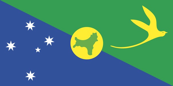
Flag:
Area
Total Area: 135 km²
Total Land Area: 135 km²
Total Water Area: 0 km²
Demographics
Population: 1,692
Population Growth Rate: 1.11% (2014 est.)
Largest City: Flying Fish Cove (Population: 1,599)
Ethnic Groups: Chinese 70%, European 20%, Malay 10% (2001)
Languages: English (official) 27.6%, Mandarin 17.2%, Malay 17.1%, Cantonese 3.9%, Min Nan 1.6%, Tagalog 1%, other 4.5%, unspecified 27.1% (2016 est.)
Religions: Muslim 19.4%, Buddhist 18.3%, Roman Catholic 8.8%, Protestant 6.5% (includes Anglican 3.6%, Uniting Church 1.2%, other 1.7%), other Christian 3.3%, other 0.6%, none 15.3%, unspecified 27.7% (2016 est
Economy
Currency: Australian dollar
Real GDP at Purchasing Power Parity ($ PPP): N/A
GDP per capita (PPP): N/A
Exports Value Per Year: N/A
Biggest Export Partners: NZ 25%, Indonesia 18%, Singapore 12%, Australia 9%, Ireland 8% (2022)
Imports Value Per Year: N/A
Biggest Import Partners: Australia 93%, US 3%, Malaysia 2%, Singapore 1%, Fiji 0% (2022)
Government
Type: non-self-governing overseas territory of Australia
Capital City: The Settlement (Flying Fish Cove) (Population: 1,599)
Other Facts
Time Zone: UTC+7 (CXT)
Country Code: CX
Internet TLD: .cx
Climate: tropical with a wet season (December to April) and dry season; heat and humidity moderated by trade winds