Cherokee is the main town of the Qualla Boundary, the home of the Eastern Band of Cherokee Indians in western North Carolina, sitting on the Oconaluftee River at the southern entrance to Great Smoky Mountains National Park. Visit the Museum of the Cherokee People, walk to Mingo Falls, drive up to Newfound Gap and hike the Chimney Tops Trail.
Tap a picture for details or zoom in to explore.
Map data © OpenStreetMap, Natural Earth
List of all 10 things to do in Cherokee, North Carolina and where to find them
- Museum of the Cherokee People Website Tickets and tours on Viator Wikipedia
- Roaring Fork Motor Nature Trail Tickets and tours on Viator Wikipedia
- Chimney Tops Trail Tickets and tours on Viator Wikipedia
- Newfound Gap Tickets and tours on Viator Wikipedia
- Sugarlands Valley Nature Trail Tickets and tours on Viator Wikipedia
- Qualla Boundary Wikipedia
- Mingo Falls Wikipedia
- Ela, North Carolina Wikipedia
- Ravensford, North Carolina Wikipedia
- Oconaluftee Baptist Church Wikipedia
Official websites and travel guides
- Cherokee, North Carolina travel guide: Wikivoyage
- Cherokee, North Carolina on Wikipedia
- All Cherokee, North Carolina tours and activities on Viator
Where To Stay In Cherokee, North Carolina: Interactive Cherokee, North Carolina Hotel Map
Most hotels cluster along US 441 and the Oconaluftee River near the casino and the park entrance; Bryson City, about ten miles west, is a quieter alternative with cabins and small inns. Compare hotels on the map below.
Top Things To Do In Cherokee, North Carolina Today
Download The Illustrated Cherokee, North Carolina Tourist Map
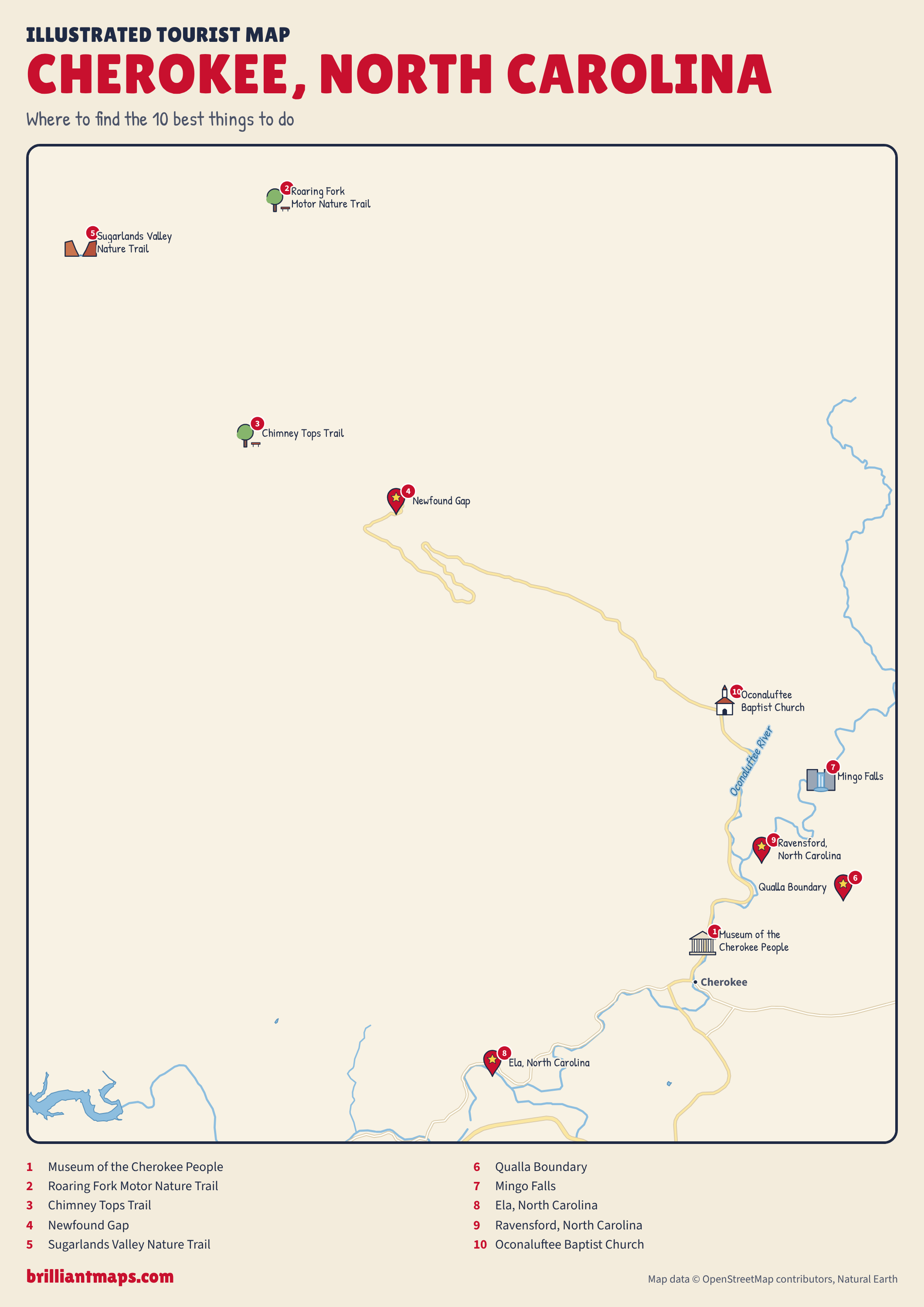
Download the Cherokee, North Carolina map (PNG)
More Tourist Maps Near Cherokee, North Carolina
Cherokee, North Carolina is part of: