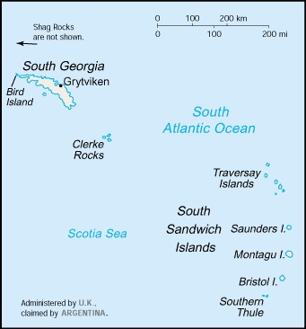
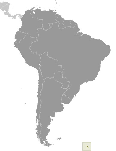
South Georgia and South Sandwich Islands Location Map
South Georgia and South Sandwich Islands Facts
Full Official Name: South Georgia and the South Sandwich Islands
Demonym: South GeorgianSouth Sandwich Islander
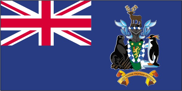
Flag:
Area
Total Area: 3,903 km²
Total Land Area: 3,903 km²
Total Water Area: 0 km²
Demographics
Population: no indigenous inhabitants
Population Growth Rate: N/A
Largest City: King Edward Point (Population: 22 (Summer), 12 (Winter))
Ethnic Groups: N/A
Languages: N/A
Religions: N/A
Economy
Currency: Pound sterling, Falkland Islands pound
Real GDP at Purchasing Power Parity ($ PPP): N/A
GDP per capita (PPP): N/A
Exports Value Per Year: N/A
Biggest Export Partners: N/A
Imports Value Per Year: N/A
Biggest Import Partners: N/A
Government
Type: N/A
Capital City: N/A (Population: 22 (Summer), 12 (Winter))
Other Facts
Time Zone: UTC−02:00
Country Code: GS
Internet TLD: .gs
Climate Map of South Georgia and South Sandwich Islands

Climate: variable, with mostly westerly winds throughout the year interspersed with periods of calm; nearly all precipitation falls as snow
Topographic Map of South Georgia and South Sandwich Islands
Read More About South Georgia and South Sandwich Islands
- Official South Georgia and South Sandwich Islands Website
- South Georgia and South Sandwich Islands On The CIA World Factbook
- South Georgia and South Sandwich Islands On Wikipedia
- South Georgia and South Sandwich Islands On National Geographic Kids
- South Georgia and South Sandwich Islands On Britannica