One of CIA’s oldest and most recognizable intelligence publications, The World Factbook, has sunset. The World Factbook served the Intelligence Community and the general public as a longstanding, one-stop basic reference about countries and communities around the globe.
Link to the History of The World Factbook.
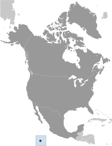
Where Is Clipperton Island? Location Map
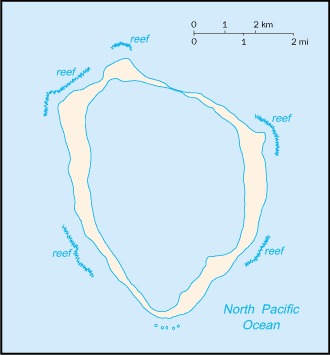
Clipperton Island
- Coastline: 11.1 km (6.9 miles)
Clipperton Island Facts
Full Official Name: Clipperton Island
Demonym: N/A
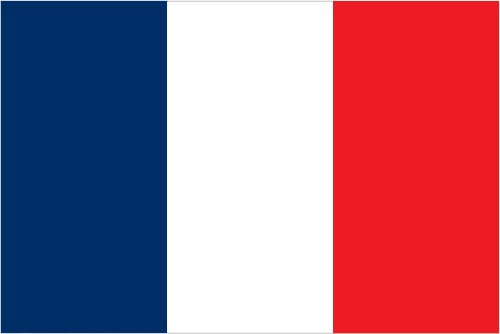
Flag:
Area
Total Area: 6 km²
Total Land Area: 6 km²
Total Water Area: 0 km²
Demographics
Population: uninhabited
Population Growth Rate: N/A
Largest City: N/A (Population: 0)
Ethnic Groups: N/A
Languages: N/A
Religions: N/A
Economy
Currency: N/A
Real GDP at Purchasing Power Parity ($ PPP): N/A
GDP per capita (PPP): N/A
Exports Value Per Year: N/A
Biggest Export Partners: N/A
Imports Value Per Year: N/A
Biggest Import Partners: N/A
Government
Type: N/A
Capital City: N/A (Population: 0)
Other Facts
Time Zone: UTC-8 (CIST)
Country Code: CP
Internet TLD: .pf
Climate: tropical; humid, average temperature 20-32 degrees Celsius, wet season (May to October)